
The Vurbaye loop

Key facts
- Distance
- 3.3 km
- Ascent
- +113 m
- Descent
- −102 m
- Estimated time
- 1 hr
- hiking
- Difficulty
- Very easy
- official rating
- Route
- Loop
- back to the start
Profile and gradient
- under 10%
- 10 to 20%
- over 20%
Gradient along the route: 2.5 km under 10% and 0.8 km at 10 to 20%. Elevation from 857 m to 963 m over 3.3 km.
Description
A short, easy loop with little change in altitude to explore Baratier and the surrounding area. The route starts up a charming alleyway before the setting becomes more rural on the outskirts of the village. The view of Embrun's old town is well worth the effort! Warning! The trail is temporarily closed due to a landslide halfway along the route, until 30 March. - From Place Saint Chaffrey (church square), head up the street to the main village square. The route starts at the foot of the sloping road opposite. Continue along rue de la côte and turn left when you reach the road. - Then turn left onto a wide path. Continue on this gently sloping path at the next two intersections. Join the road and turn right to ascend for around 100 metres towards Val Ubaye. - At the sign for Vurbaye, take a small path to the right. At the end of the narrow path, head down the road towards the village of Baratier. It soon turns into a small path. Then join the road and turn right to return to the centre of the village.
Difficulty
Official rating: very easy, by Parc national des Écrins.
Getting there
Start: Place du village, Baratier, Baratier (05).
Sources
- Track: Parc national des Écrins, Licence Ouverte 2.0, Licence Ouverte 2.0 (Etalab) (destination.ecrins-parcnational.fr/trek/993437-Boucle-de-Valubaye). Time estimated by GPX Path with the Mac app rule, breaks not included.
- Official elevation gain: 113 m, Parc national des Écrins
Nearby tracks
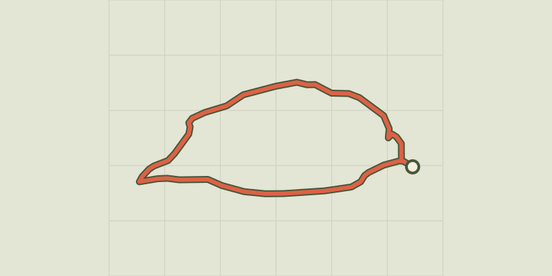
 © OpenStreetMap, SRTM · OpenTopoMap (CC-BY-SA)
La Mûre loop
Provence-Alpes-Côte d'Azur, Baratier (05) · LoopOfficial rating by Parc national des Écrins © OpenStreetMap, SRTM · OpenTopoMap (CC-BY-SA)
Plat Aiguille loop
Provence-Alpes-Côte d'Azur, Baratier (05) · LoopOfficial rating by Parc national des Écrins © OpenStreetMap, SRTM · OpenTopoMap (CC-BY-SA)
The Liou wetland
Écrins, Baratier (05) · Out and backOfficial rating by Parc national des Écrins © OpenStreetMap, SRTM · OpenTopoMap (CC-BY-SA)
[Sens Action] - The thousand waterfalls
Provence-Alpes-Côte d'Azur, Baratier (05) · LoopOfficial rating by Parc national des Écrins © OpenStreetMap, SRTM · OpenTopoMap (CC-BY-SA)
Lake
Écrins, Embrun (05) · LoopOfficial rating by Parc national des Écrins © OpenStreetMap, SRTM · OpenTopoMap (CC-BY-SA)
Le Clot de l'Aigue
Provence-Alpes-Côte d'Azur, Saint-Sauveur (05) · LoopOfficial rating by Parc national des Écrins