
Saint Remy de Provence - From Saint Rémy to Les Baux

Key facts
- Distance
- 15.4 km
- Ascent
- +392 m
- Descent
- −328 m
- Estimated time
- 4 hr 10
- hiking
- Difficulty
- Moderate
- official rating
- Route
- Loop
- back to the start
Profile and gradient
- under 10%
- 10 to 20%
- over 20%
Gradient along the route: 15.1 km under 10% and 0.4 km at 10 to 20%. Elevation from 74 m to 287 m over 15.4 km.
Description
After enjoying the shade offered by beautiful pine forests, contemplate the Alpilles and Provence as you've never done! This walk will surprise you by making you climb some reliefs from where you can enjoy outstanding views. From Gard to Var and from Ventoux to the seafront, the landscapes you will see will have no limit. So to your binoculars! From the parking, go up track to West through the pines for join the tarred road that comes to Saint-Rémy-de-Provence. Follow it and take the left on the Roman Road and Panouilles. Continue to the Alpines Canal and the Chemin des Servières and Cadenières. 1- At the intersection, turn left (from this point, follow the signs GR® and PR to point 3). Stay on this paved road for 1.7 km, then climb a hill by a path. Join the DFCI track and follow it until the D27. 2- Turn left on this road, go up 250 m, then turn right on the DFCI track AL 107. Pass a barrier and go up the valley called "Gaudre de Valmouriane". After a series of laces, you get to a crossroads. 3- Take the GR®6 on the left towards Les Baux (from this point follow the GR® signs to the car park from the starting point). At the pass, join the D27. Cross it and continue 500 m on an asphalt road, on the left. After the orientation table and a barrier, continue on a track. 4- Pass the watchtower, leave the Lombards track on the right (panel), then DFCI no. AL 112 on the left. Continue for 1.3 km then turn left into a valley and return to the starting point.
Difficulty
Official rating: moderate, by Parcs naturels régionaux de Provence-Alpes-Côte d'Azur.
Before you go
- For your safety, and for the preservation of forest areas, access to natural areas is regulated from June to September. Inquire during the summer period on 08 11 20 13 13 (price of a local call) or on http://bpatp.paca-ate.fr/ A municipal decree during this same period prohibited motor vehicles from accessing the lake. For parking, follow the updated directions on site.
Getting there
Start: Lac du Peirou, Saint-Rémy-de-Provence, Saint-Rémy-de-Provence (13).
Sources
- Track: Parcs naturels régionaux de Provence-Alpes-Côte d'Azur (Chemins des Parcs), Licence Ouverte 2.0, Licence Ouverte 2.0 (Etalab) (www.cheminsdesparcs.fr/trek/52462-SAINT-REMY-DE-PROVENCE---De-Saint-Remy-aux-Baux). Time estimated by GPX Path with the Mac app rule, breaks not included.
- Official elevation gain: 392 m, Parcs naturels régionaux de Provence-Alpes-Côte d'Azur
Nearby tracks

 © OpenStreetMap, SRTM · OpenTopoMap (CC-BY-SA)
Saint Remy de Provence - Between valley and plateau
Provence-Alpes-Côte d'Azur, Saint-Rémy-de-Provence (13) · Out and backOfficial rating by Parcs naturels régionaux de Provence-Alpes-Côte d'Azur © OpenStreetMap, SRTM · OpenTopoMap (CC-BY-SA)
Saint Remy de Provence - The Alpilles ridge
Provence-Alpes-Côte d'Azur, Saint-Rémy-de-Provence (13) · LoopOfficial rating by Parcs naturels régionaux de Provence-Alpes-Côte d'Azur © OpenStreetMap, SRTM · OpenTopoMap (CC-BY-SA)
Saint Remy de Provence - La Grosse Galine
Provence-Alpes-Côte d'Azur, Saint-Rémy-de-Provence (13) · LoopOfficial rating by Parcs naturels régionaux de Provence-Alpes-Côte d'Azur © OpenStreetMap, SRTM · OpenTopoMap (CC-BY-SA)
Les Baux de Provence - The Baumayrane ridges
Provence-Alpes-Côte d'Azur, Les Baux-de-Provence (13) · LoopOfficial rating by Parcs naturels régionaux de Provence-Alpes-Côte d'Azur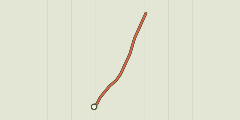 © OpenStreetMap, SRTM · OpenTopoMap (CC-BY-SA)
Saint Remy de Provence - À la rencontre des oiseaux de la Petite Crau
Provence-Alpes-Côte d'Azur, Saint-Rémy-de-Provence (13) · Out and backOfficial rating by Parcs naturels régionaux de Provence-Alpes-Côte d'Azur © OpenStreetMap, SRTM · OpenTopoMap (CC-BY-SA)
Les Baux de Provence - Chemin des Trémaïé
Provence-Alpes-Côte d'Azur, Les Baux-de-Provence (13) · LoopOfficial rating by Parcs naturels régionaux de Provence-Alpes-Côte d'Azur