
Sentier des Curattes
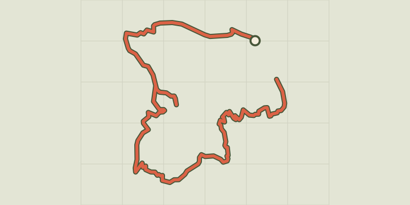
Key facts
- Distance
- 7.5 km
- Ascent
- +258 m
- Descent
- −257 m
- Estimated time
- 2 hr 10
- hiking
- Difficulty
- Easy
- official rating
- Route
- Loop
- back to the start
Profile and gradient
- under 10%
- 10 to 20%
- over 20%
Gradient along the route: 6.8 km under 10%, 0.6 km at 10 to 20% and 0.2 km over 20%. Elevation from 783 m to 956 m over 7.5 km.
Description
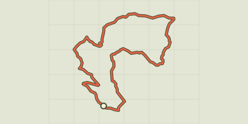
This trail leads primarily through wild environments: Lake, combes, forests, grasslands... all making up the many and varied environments of Serre-Ponçon. From the panorama of the Baie St-Michel, this circuit initially leads through a rural landscape. Passing the belvedere of Les Curattes, you continue through forests. From the high lake, numerous wild areas await you before taking you back to the beaches of the Baie St-Michel. From the car park, stay on the road and turn right. - At «Mas des Bâtardes», take the track on the left towards Les Curattes. Follow the track running along the field edges and the railway line. At the «les Mareisson» crossroads, go straight on towards Les Curattes. Just opposite, take the track on the right leading into the forest. - When you reach the track in Le Gorny, turn left and carry on past the abandoned farm. At the next intersection, make a 800-metre there-and-back detour to the orientation table. Then return to the intersection and head in the direction of Chanteloube. - At Chanteloube, take the path on the left towards the Baie St-Michel. Carry on for several kilometres, passing the «le Serre de l'aigle», «les Curattes», «Pra de l'ase», «sous les Curattes» and finally «Rougon». At the first dwellings, take the rightmost path. When you reach the track, turn left and back onto the road. At «La plage des Pommiers» (apple tree beach), head up the road towards La Couche and back to the car park after the memorial.
Difficulty
Official rating: easy, by Parc national des Écrins.
Before you go
- This route leads through areas exposed to the sun: hats and water bottles are recommended.
- Remember that you are sharing the path with other users
Getting there
Start: Baie St Michel, Chorges, Chorges (05).
Sources
- Track: Parc national des Écrins, Licence Ouverte 2.0, Licence Ouverte 2.0 (Etalab) (destination.ecrins-parcnational.fr/trek/973899-Sentier-des-Curattes). Time estimated by GPX Path with the Mac app rule, breaks not included.
- Official elevation gain: 258 m, Parc national des Écrins
Nearby tracks
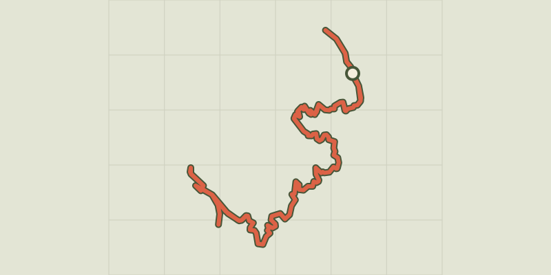
 Plan IGN © IGN 2026Sentier du bord de LacProvence-Alpes-Côte d'Azur, Chorges (05) · Out and backOfficial rating by Parc national des Écrins
 Plan IGN © IGN 2026Le Serre du boisProvence-Alpes-Côte d'Azur, Chorges (05) · LoopOfficial rating by Parc national des Écrins
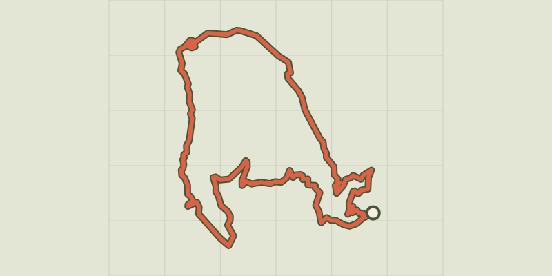 Plan IGN © IGN 2026Les GlaisollesProvence-Alpes-Côte d'Azur, Chorges (05) · LoopOfficial rating by Parc national des Écrins
 Plan IGN © IGN 2026Le Pré de l'AubreProvence-Alpes-Côte d'Azur, Chorges (05) · LoopOfficial rating by Parc national des Écrins
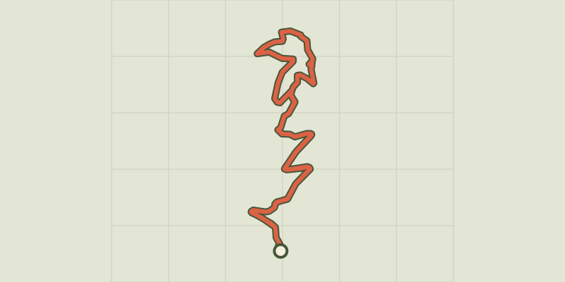 Plan IGN © IGN 2026Les géants de pierre et le lion de SaladosProvence-Alpes-Côte d'Azur, Chorges (05) · LoopOfficial rating by Parc national des Écrins
 Plan IGN © IGN 2026La Peyre de l'aigleProvence-Alpes-Côte d'Azur, Chorges (05) · LoopOfficial rating by Parc national des Écrins