
Ayous lakes from Bious-Artigues

Key facts
- Distance
- 11.1 km
- Ascent
- +600 m
- Descent
- −554 m
- Estimated time
- 3 hr 40
- hiking
- Difficulty
- Easy
- official rating
- Route
- Out and back
- same way back
Official time: 5 hr
Profile and gradient
- under 10%
- 10 to 20%
- over 20%
Gradient along the route: 5.0 km under 10%, 5.0 km at 10 to 20% and 1.1 km over 20%. Elevation from 1,415 m to 1,967 m over 11.1 km.

Description
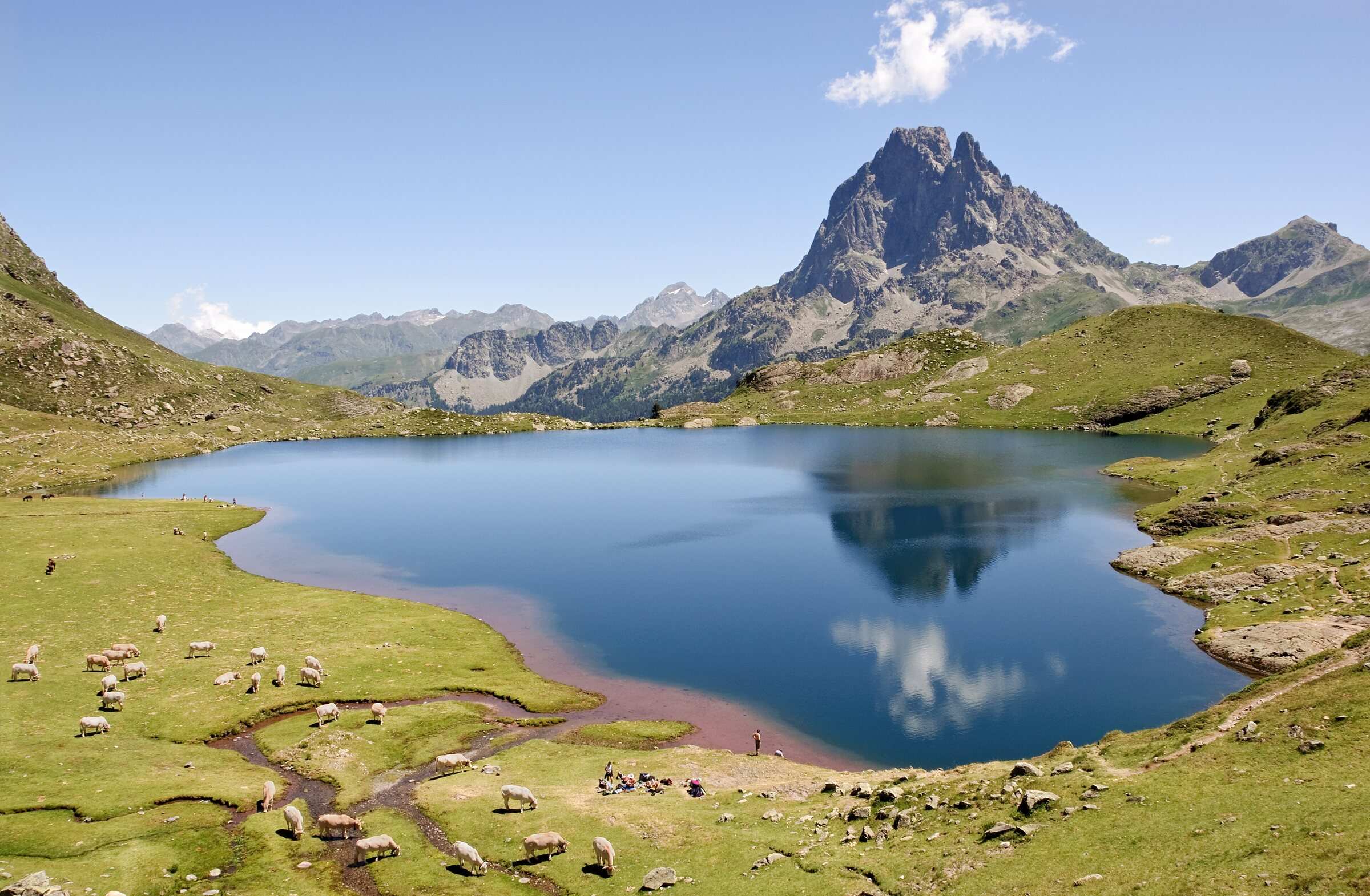
From the Lac de Bious-Artigues car park (1,420 m), a track closed to cars climbs for nearly 3 km to the Bious plain. Without crossing the bridge, a yellow-waymarked path turns right into the woods, comes out in a clearing with a hut, then reaches Lac Roumassot, which you pass alongside a waterfall. Next come the small Lac du Miey and Lac Gentau, which you skirt to reach the Ayous hut (48 places). The grass between the hut and the lake looks straight at the Pic du Midi d'Ossau. You return the same way, or loop back past the Bersau and Casterau lakes, a variant the official sheet also mentions. Our out-and-back track measures 11.1 km with 553 m of ascent; the sheet gives 11 km, 600 m and 5 hr. Above the trees there is no shade. The Bious-Artigues road is closed in winter. Lac Gentau lies outside the National Park core zone, but bivouacking was banned on part of its shores in 2021, so check before pitching a tent.
Difficulty
Official rating: easy, by Béarn Pyrénées, tourisme64 (site touristique départemental des Pyrénées-Atlantiques).
Before you go
- Above the tree line there is no shade: protect yourself from the sun.
- Grazing area: give way to livestock and close gates.
- Lac Gentau lies outside the National Park core zone; in 2021 bivouacking was banned on part of its shores. Check before camping.
Getting there
Start: Lac de Bious-Artigues car park (or Bious-Oumettes car park if full), Laruns (64).
By car: Ossau valley via Laruns and Gabas, then the road to Lac de Bious-Artigues.
By public transport: No public transport listed on the official sheet.
Season
Lac de Bious-Artigues can be reached from May to October; the road is closed in winter.
Sources
- Track: © OpenStreetMap contributors, ODbL 1.0 (www.openstreetmap.org/copyright). Time estimated by GPX Path with the Mac app rule, breaks not included.
- Official time: 5 hr, tourisme64.com
- Official elevation gain: 600 m, Béarn Pyrénées (tourisme64)
- Ayous, la belle vie en refuge de montagneBéarn Pyrénées (tourisme64), accessed 27 October 2026
- Le lac de Bious-Artigues (accès de mai à octobre)Office de tourisme de la vallée d'Ossau, accessed 27 October 2026
- Bivouac au lac Gentau : changement des conditions (24/07/2021)Parc national des Pyrénées, accessed 27 October 2026
Nearby tracks
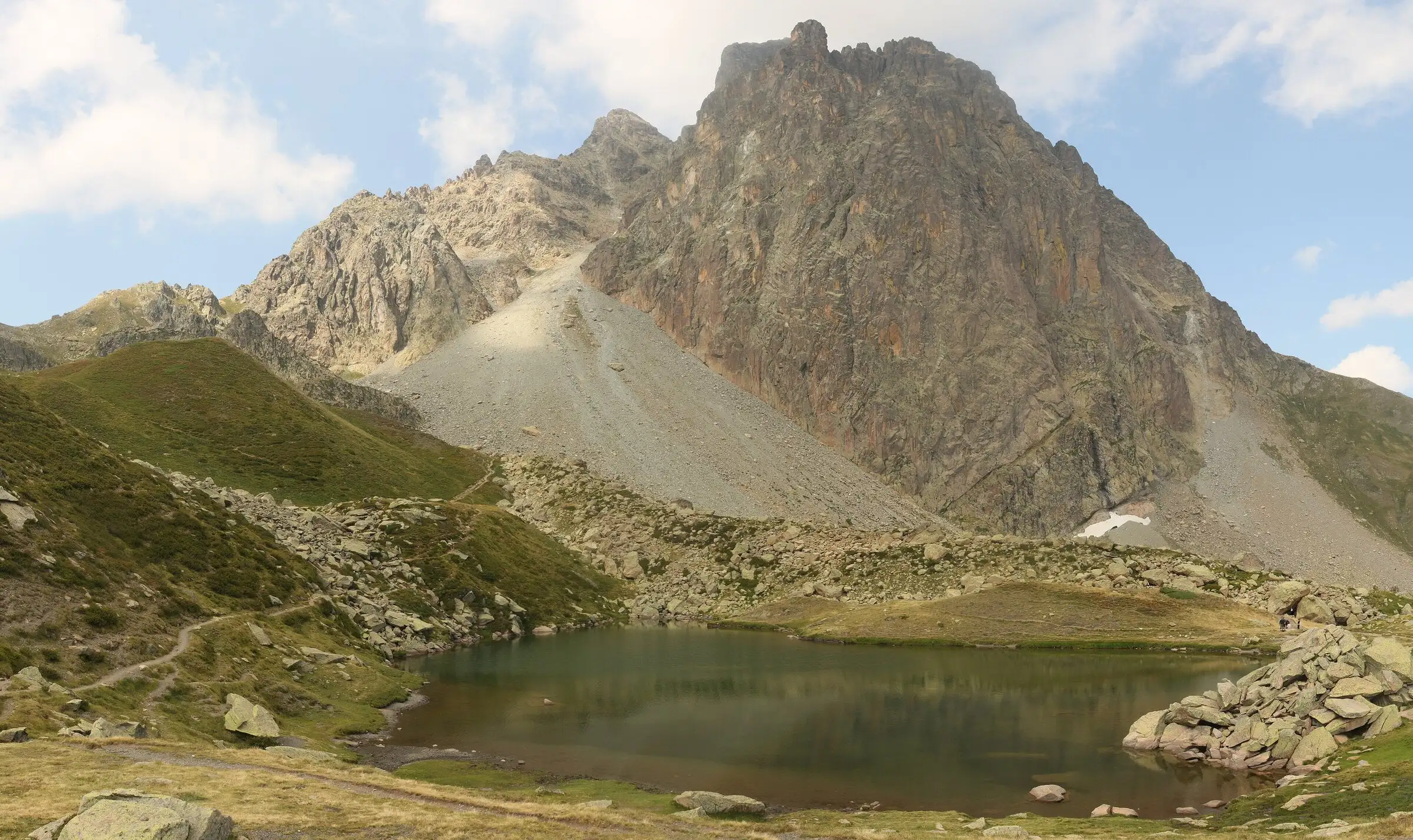

Pic du Midi d'Ossau loop
Pyrenees, Laruns (64) · LoopOfficial rating by Béarn Pyrénées, tourisme64 (site touristique départemental des Pyrénées-Atlantiques)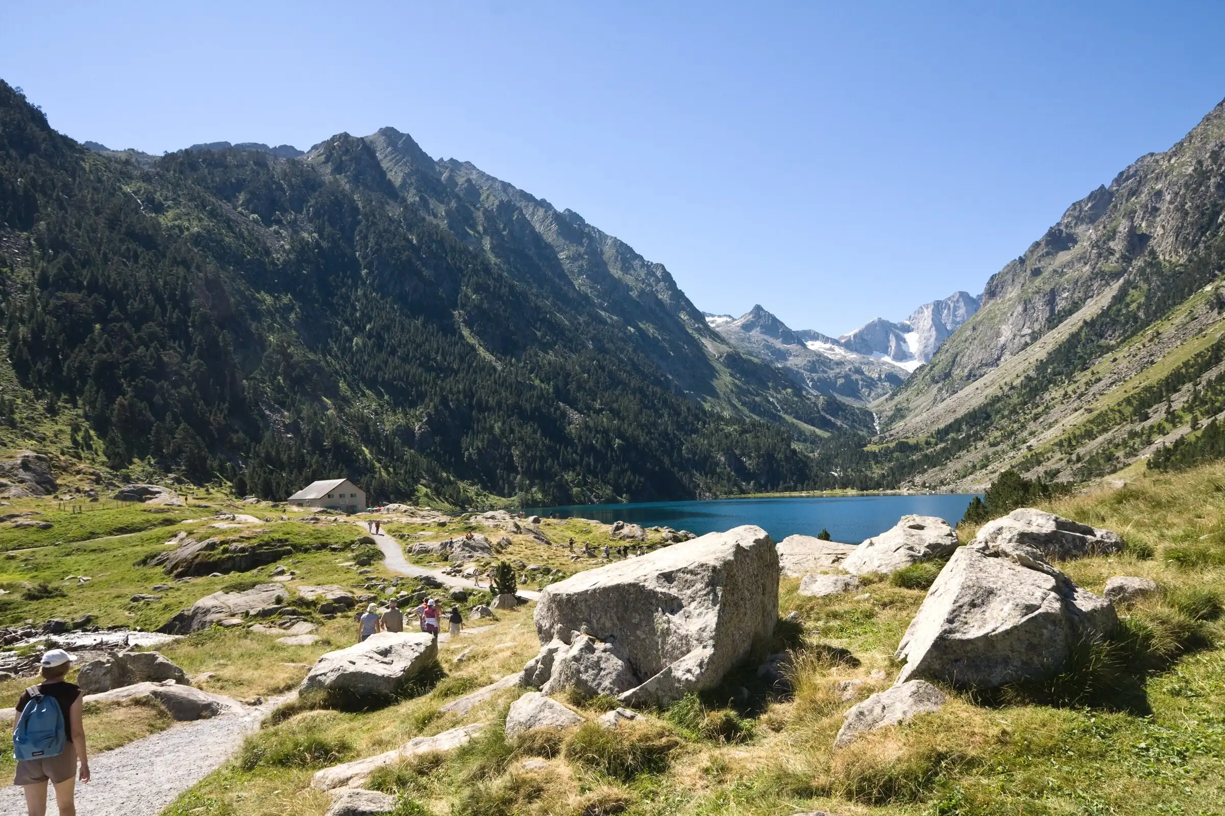
Lac de Gaube from Pont d'Espagne
Pyrenees, Cauterets (65) · Out and backOfficial rating by Vallées de Gavarnie (fiche Geotrek de la CC Pyrénées Vallées des Gaves)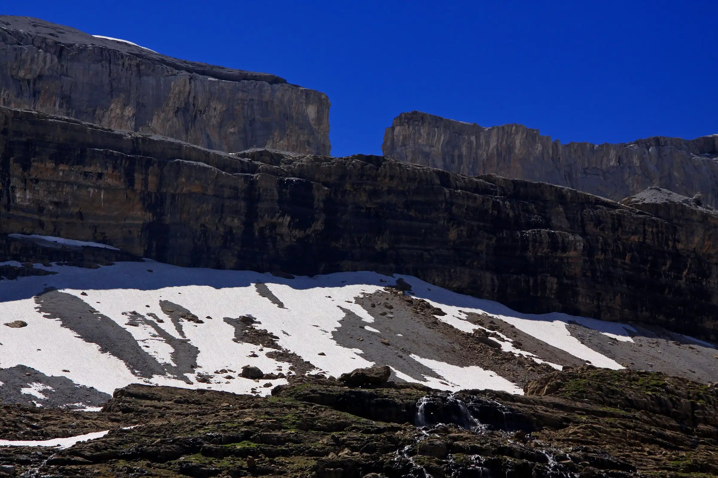
Brèche de Roland from the Col des Tentes
Pyrenees, Gavarnie-Gèdre (65) · Out and backOfficial rating by Vallées de Gavarnie (fiche Geotrek de la CC Pyrénées Vallées des Gaves)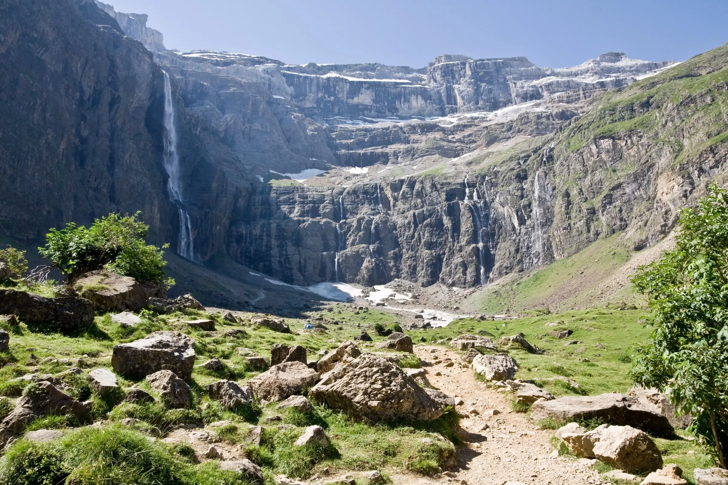
Cirque de Gavarnie via the Espugues ledge path
Pyrenees, Gavarnie-Gèdre (65) · LoopOfficial rating by Vallées de Gavarnie (fiche Geotrek de la CC Pyrénées Vallées des Gaves)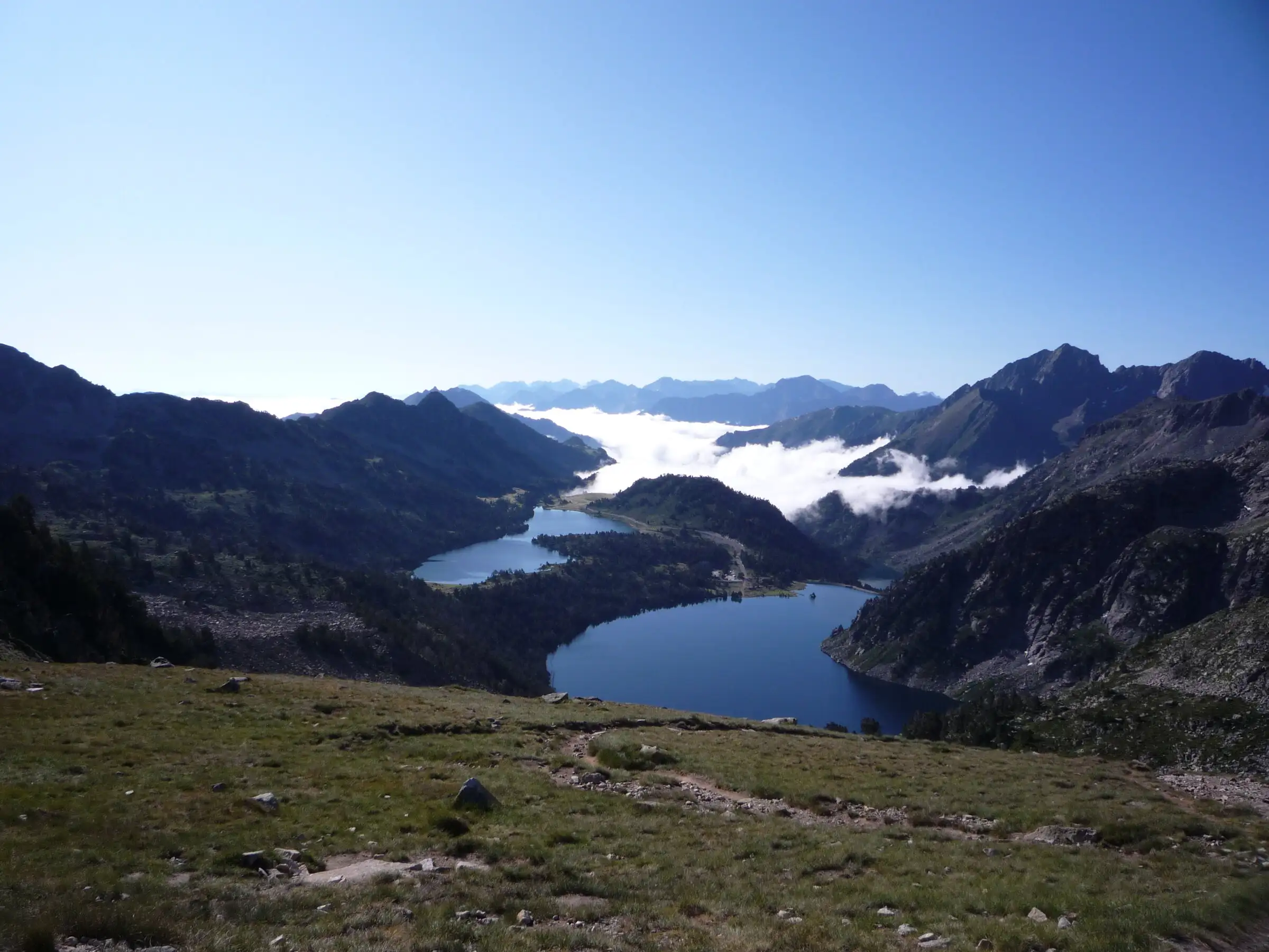
Néouvielle lakes via the Col d'Estoudou
Pyrenees, Saint-Lary-Soulan / Aragnouet (65) · LoopOfficial rating by Office de tourisme de Piau-Engaly (fiche Geotrek Hautes-Pyrénées)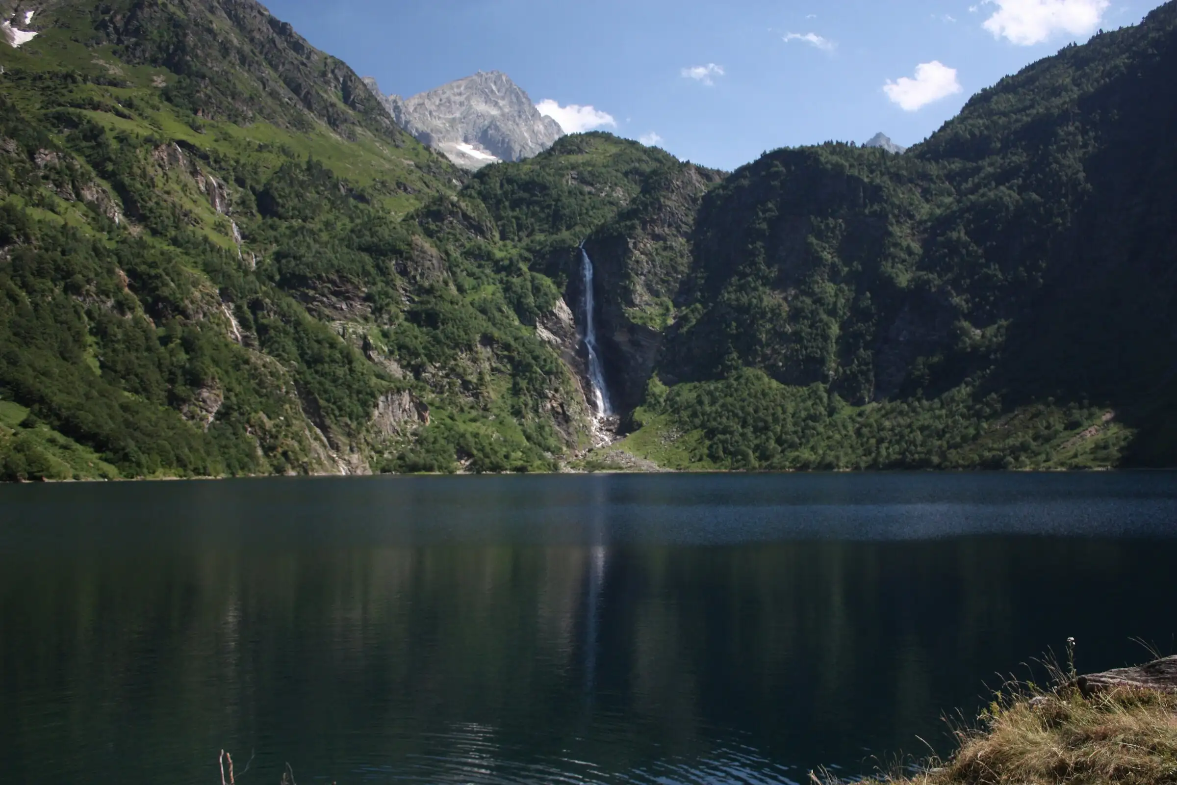
Lac d'Oô from Granges d'Astau
Pyrenees, Oô (31) · Out and backOfficial rating by Haute-Garonne Tourisme (fiche 41, le lac d'Oô)