
Lac de Gaube from Pont d'Espagne

Key facts
- Distance
- 5.0 km
- Ascent
- +259 m
- Descent
- −259 m
- Estimated time
- 1 hr 40
- hiking
- Difficulty
- Moderate
- official rating
- Route
- Out and back
- same way back
Official time: 2 hr 30
Profile and gradient
- under 10%
- 10 to 20%
- over 20%
Gradient along the route: 2.8 km under 10%, 1.3 km at 10 to 20% and 1.0 km over 20%. Elevation from 1,465 m to 1,730 m over 5.0 km.

Description
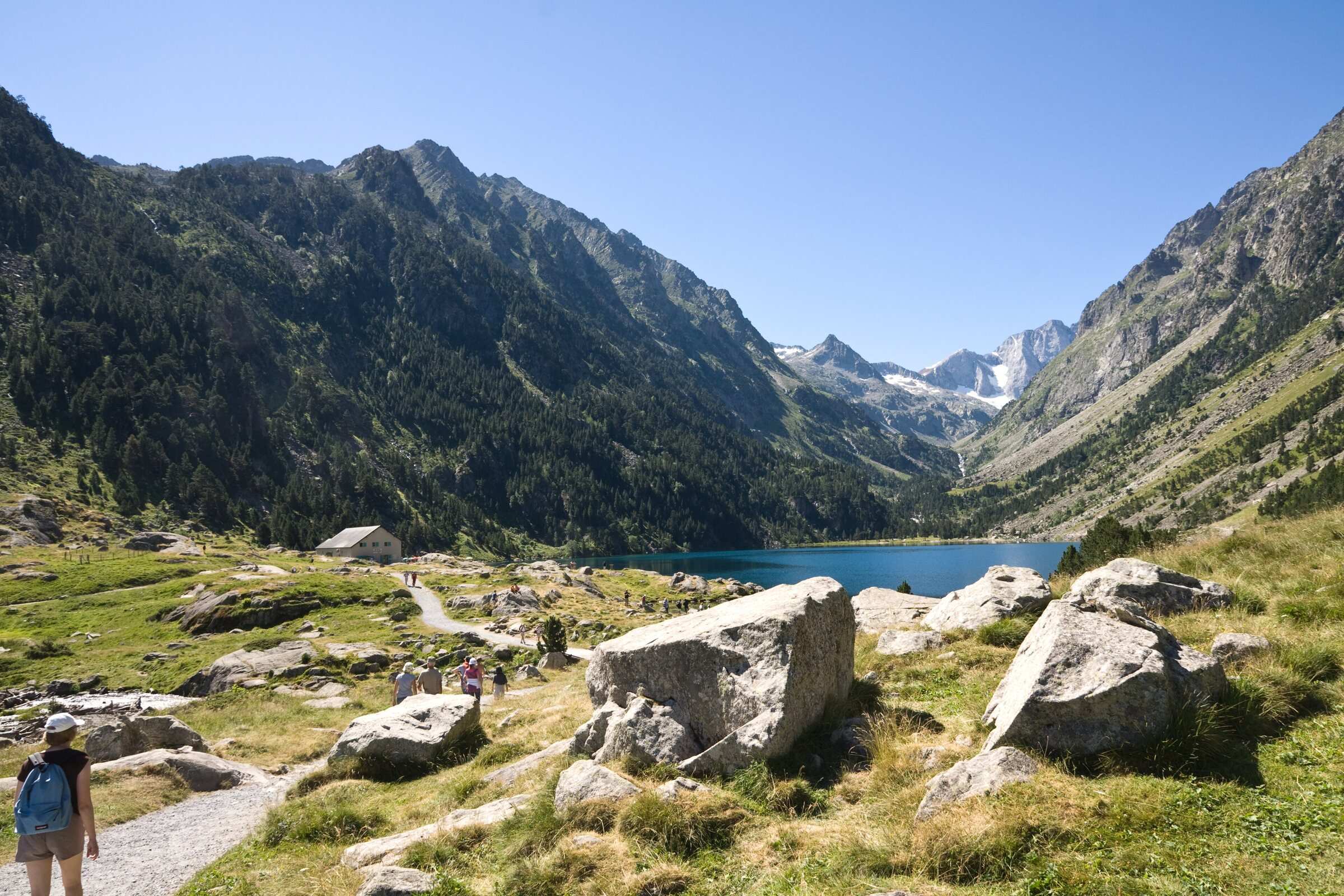
Lac de Gaube is reached from the Puntas car park at Pont d'Espagne, above Cauterets. The path leaves the paved lane, climbs in short paved zigzags and then steadily through the forest, before easing off under fir and Scots pine. It runs above the small Lac des Huats and reaches Lac de Gaube (1,730 m) just behind a glacial step of polished rock, with the Vignemale massif at the head of the valley. You come back the same way. Our track measures 5.0 km round trip with 260 m of ascent; the official route sheet from Vallées de Gavarnie gives 4.9 km, 259 m and 2 hr 30. Some rock steps are high, so wear proper shoes. The route lies in the core zone of the Pyrénées National Park: dogs are not allowed, except on a lead for walkers who ride the Gaube chairlift, and swimming is banned. The lake is very busy in summer, so an early start pays off.
Difficulty
Official rating: moderate, by Vallées de Gavarnie (fiche Geotrek de la CC Pyrénées Vallées des Gaves).
Before you go
- Some high rock steps: wear proper walking shoes.
- National Park core zone: dogs not allowed (tolerated on a lead if you take the Gaube chairlift).
- Swimming and boating are banned on the lake.
Getting there
Start: Puntas car park, Pont d'Espagne (paid), Cauterets (65).
By car: From Cauterets, D920 to Pont d'Espagne (8 km). Paid parking at Puntas.
By public transport: Lourdes railway station, bus 965 Lourdes to Cauterets, then the Cauterets to Pont d'Espagne shuttle in high season.
Season
Late spring to autumn. Not advised in winter or early spring (avalanches): check with the Cauterets mountain office.
Sources
- Track: © OpenStreetMap contributors, ODbL 1.0 (www.openstreetmap.org/copyright). Time estimated by GPX Path with the Mac app rule, breaks not included.
- Official time: 2 hr 30, rando.valleesdegavarnie.com
- Official elevation gain: 259 m, Vallées de Gavarnie (Geotrek, CC Pyrénées Vallées des Gaves)
- Le lac de Gaube (fiche officielle)Vallées de Gavarnie (Geotrek, CC Pyrénées Vallées des Gaves), accessed 27 October 2026
- Lac de GaubeCRT Occitanie, accessed 27 October 2026
- Animaux domestiques (réglementation du cœur)Parc national des Pyrénées, accessed 27 October 2026
Nearby tracks
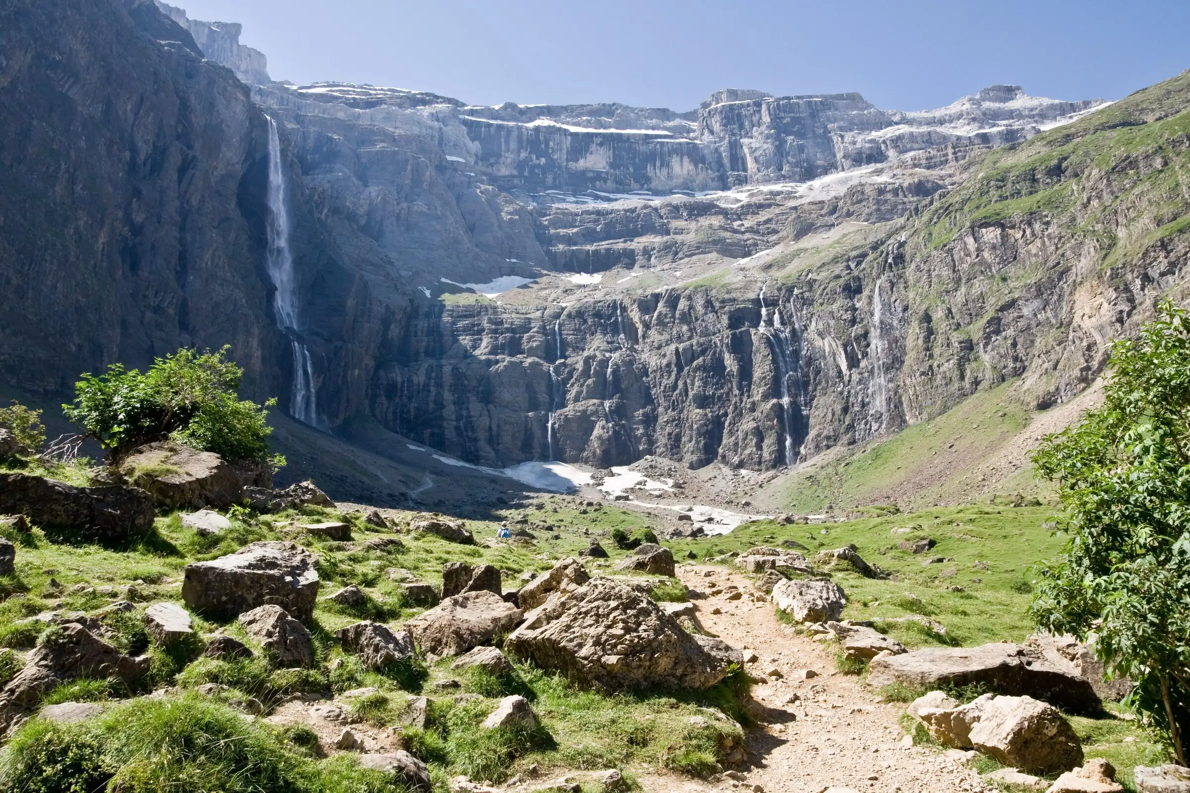

Cirque de Gavarnie via the Espugues ledge path
Pyrenees, Gavarnie-Gèdre (65) · LoopOfficial rating by Vallées de Gavarnie (fiche Geotrek de la CC Pyrénées Vallées des Gaves)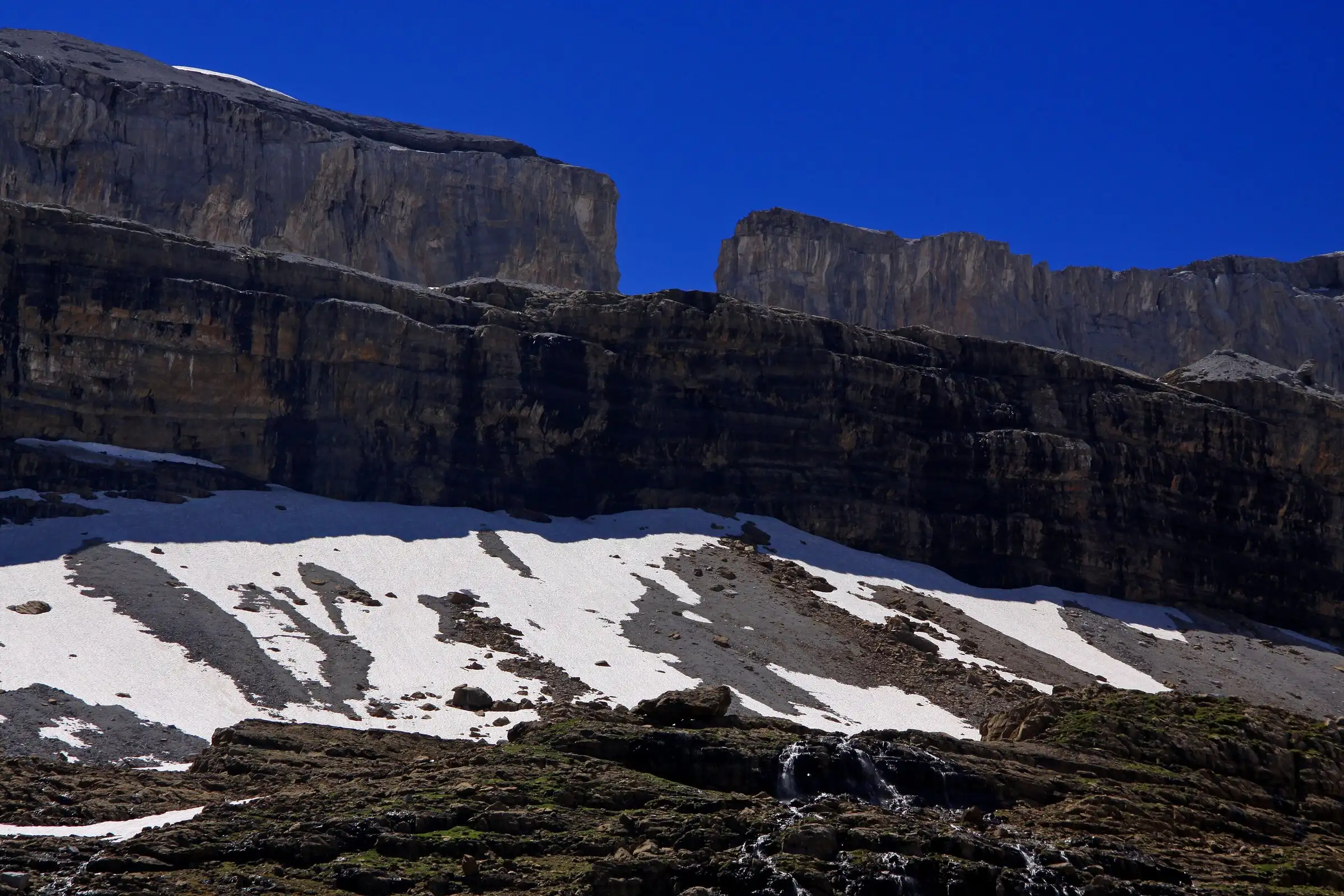
Brèche de Roland from the Col des Tentes
Pyrenees, Gavarnie-Gèdre (65) · Out and backOfficial rating by Vallées de Gavarnie (fiche Geotrek de la CC Pyrénées Vallées des Gaves)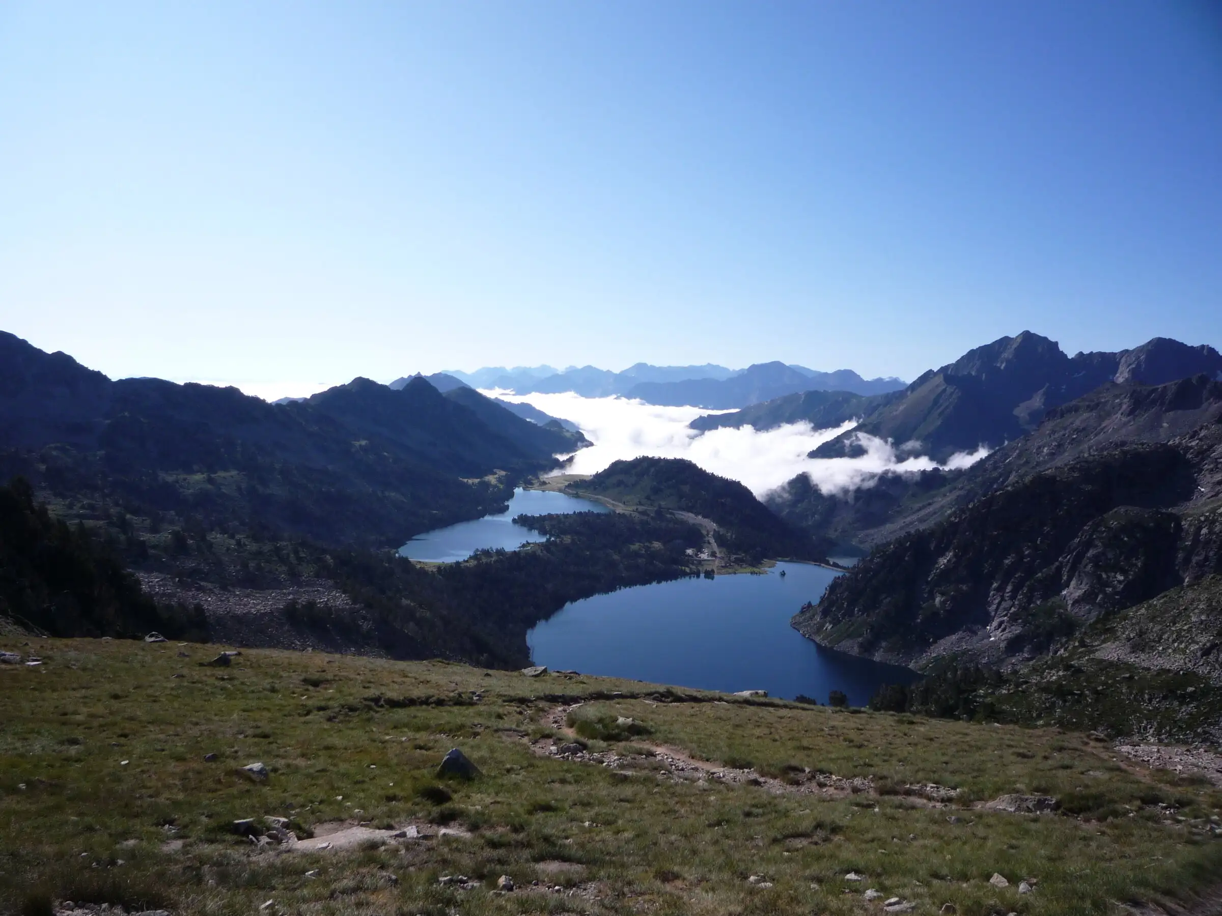
Néouvielle lakes via the Col d'Estoudou
Pyrenees, Saint-Lary-Soulan / Aragnouet (65) · LoopOfficial rating by Office de tourisme de Piau-Engaly (fiche Geotrek Hautes-Pyrénées)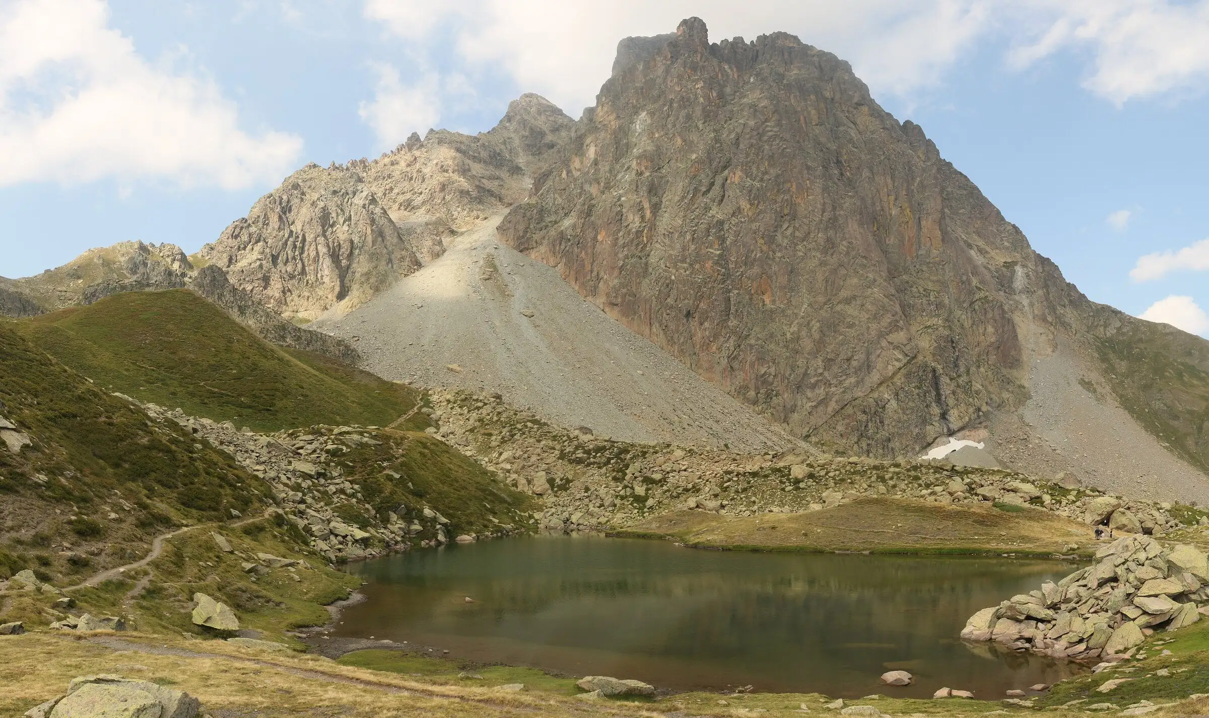
Pic du Midi d'Ossau loop
Pyrenees, Laruns (64) · LoopOfficial rating by Béarn Pyrénées, tourisme64 (site touristique départemental des Pyrénées-Atlantiques)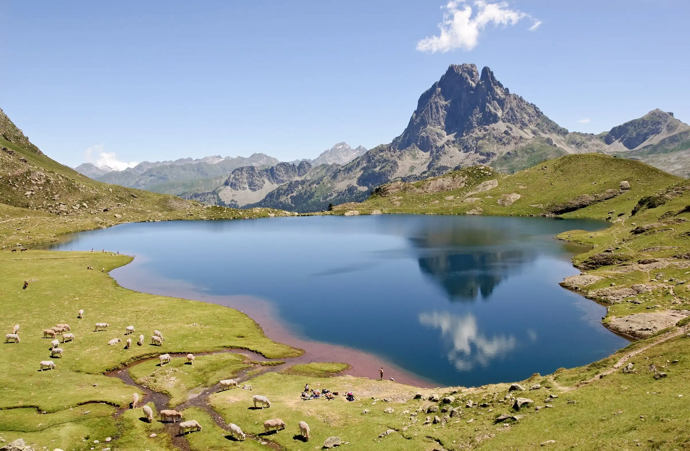
Ayous lakes from Bious-Artigues
Pyrenees, Laruns (64) · Out and backOfficial rating by Béarn Pyrénées, tourisme64 (site touristique départemental des Pyrénées-Atlantiques)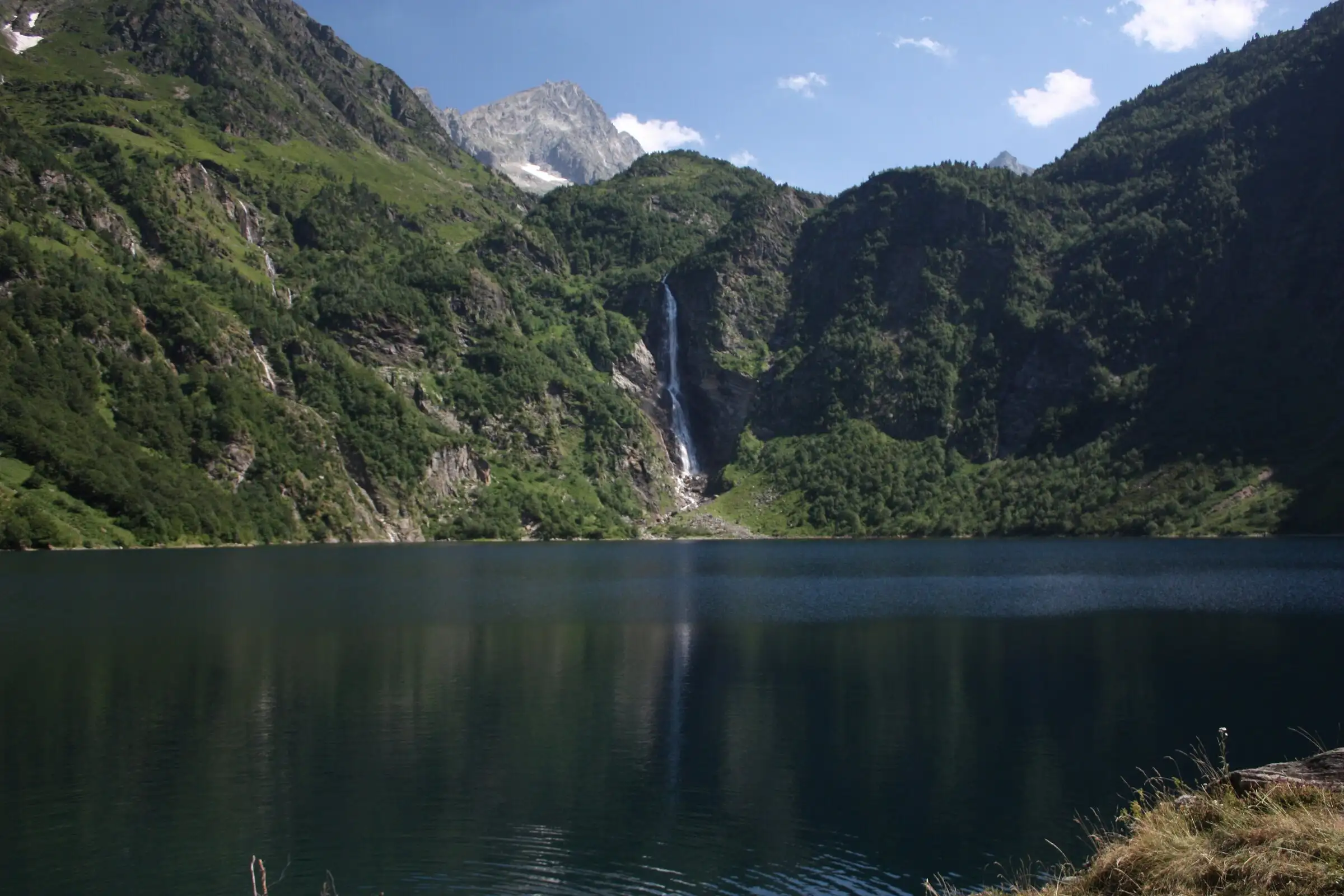
Lac d'Oô from Granges d'Astau
Pyrenees, Oô (31) · Out and backOfficial rating by Haute-Garonne Tourisme (fiche 41, le lac d'Oô)