
Lac d'Oô from Granges d'Astau

Key facts
- Distance
- 6.6 km
- Ascent
- +448 m
- Descent
- −375 m
- Estimated time
- 2 hr 20
- hiking
- Difficulty
- Moderate
- official rating
- Route
- Out and back
- same way back
Official time: 3 hr
Profile and gradient
- under 10%
- 10 to 20%
- over 20%
Gradient along the route: 2.3 km under 10%, 4.0 km at 10 to 20% and 0.3 km over 20%. Elevation from 1,140 m to 1,509 m over 6.6 km.

Description
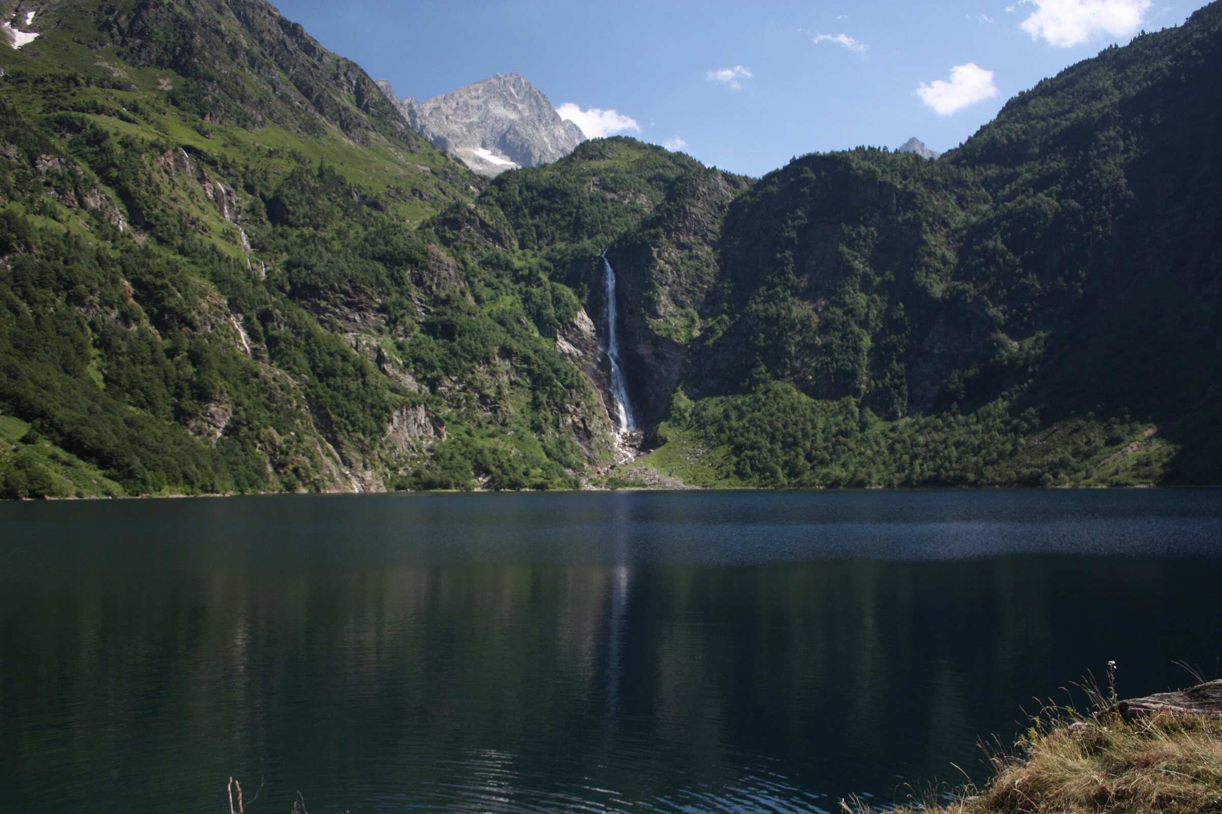
From the Granges d'Astau car park above Luchon, a wide forest track and then a stony path waymarked in white and red climb to Lac d'Oô, at 1,507 m. On the way, the Chevelure de Madeleine waterfall drops on your right; you pass the sulphur rock at about 1,300 m, then a small stone bridge before the dam. From the hut on the shore you face the Lac d'Oô waterfall, 275 m high according to Haute-Garonne Tourisme. You return the same way. Our track measures 6.6 km round trip with 378 m of ascent. The official sheets give 6.5 to 6.6 km and 448 m: the gap in ascent comes from the calculation, since our method applied to the official track also gives 379 m. The hut is open from early May to late October, and dogs are allowed on a lead. Swimming is banned in the mountain lakes. In winter the route is not advised because of icy sections and avalanche gullies.
Difficulty
Official rating: moderate, by Haute-Garonne Tourisme (fiche 41, le lac d'Oô).
Before you go
- In winter: icy sections and avalanche gullies, route not advised.
- Swimming is banned in the mountain lakes.
- Dogs allowed on a lead.
Getting there
Start: Granges d'Astau car park, just past the restaurants, Oô (31).
By car: From Bagnères-de-Luchon, D618 then D76 through Oô village to Granges d'Astau.
By public transport: Luchon station, then the Lipy 1 bus in July and August.
Season
1 April to 30 November depending on snow (Haute-Garonne Tourisme). The hut is open from early May to late October. Not advised in winter.
Sources
- Track: © OpenStreetMap contributors, ODbL 1.0 (www.openstreetmap.org/copyright). Time estimated by GPX Path with the Mac app rule, breaks not included.
- Official time: 3 hr, tourisme-occitanie.com
- Official elevation gain: 448 m, CRT Occitanie
- 41, le lac d'OôHaute-Garonne Tourisme, accessed 27 October 2026
- Randonnée au lac d'OôCRT Occitanie, accessed 27 October 2026
- Lac d'Oô (site naturel, 1 507 m)CRT Occitanie, accessed 27 October 2026
Nearby tracks
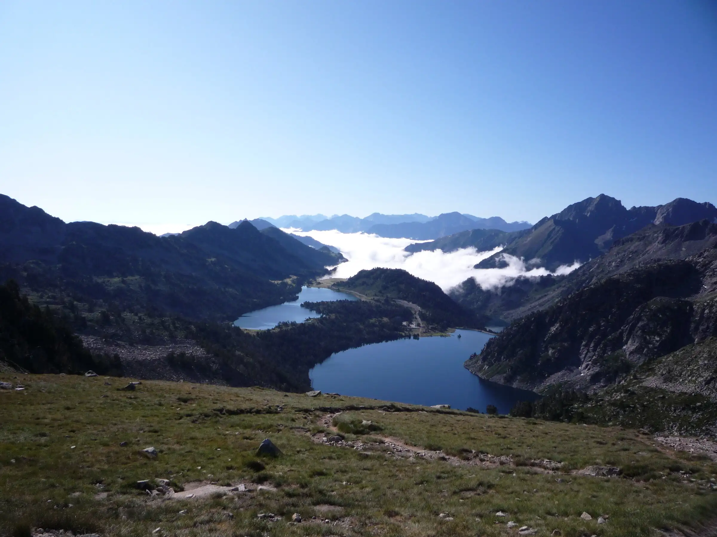

Néouvielle lakes via the Col d'Estoudou
Pyrenees, Saint-Lary-Soulan / Aragnouet (65) · LoopOfficial rating by Office de tourisme de Piau-Engaly (fiche Geotrek Hautes-Pyrénées)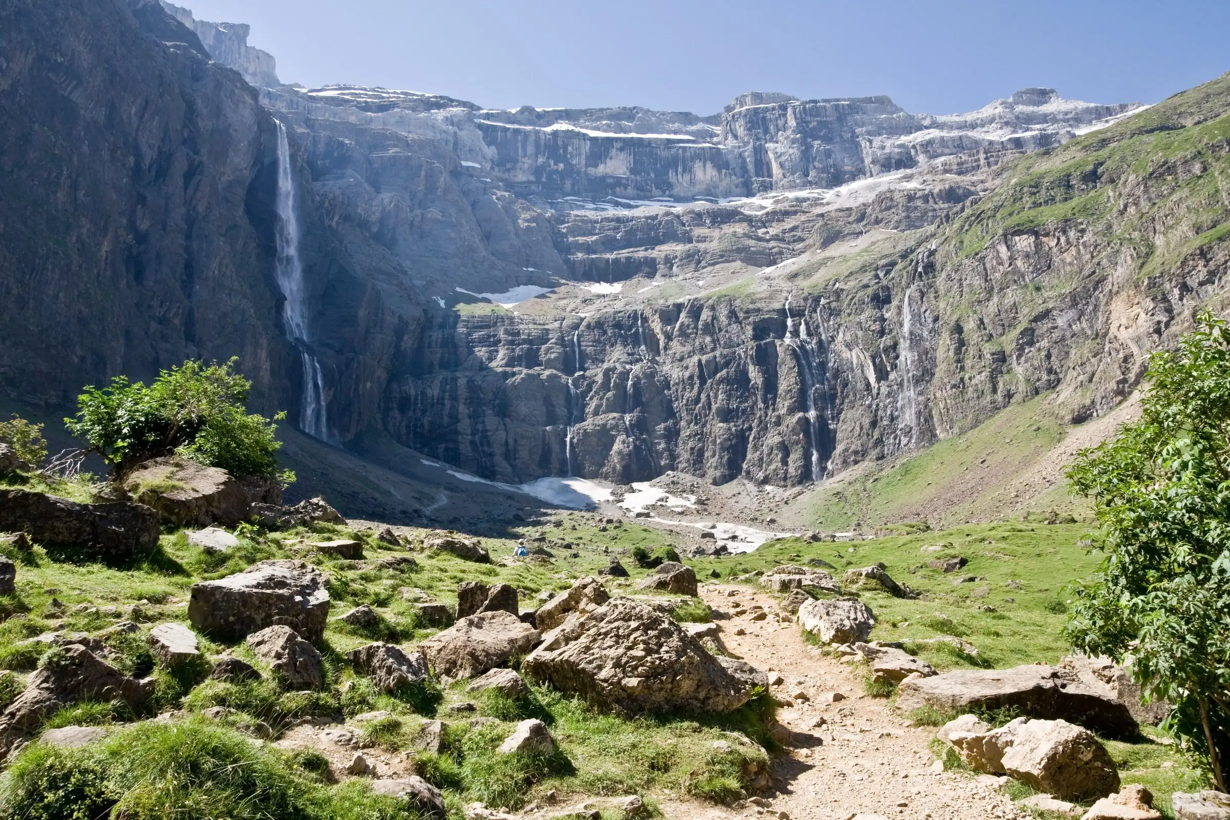
Cirque de Gavarnie via the Espugues ledge path
Pyrenees, Gavarnie-Gèdre (65) · LoopOfficial rating by Vallées de Gavarnie (fiche Geotrek de la CC Pyrénées Vallées des Gaves)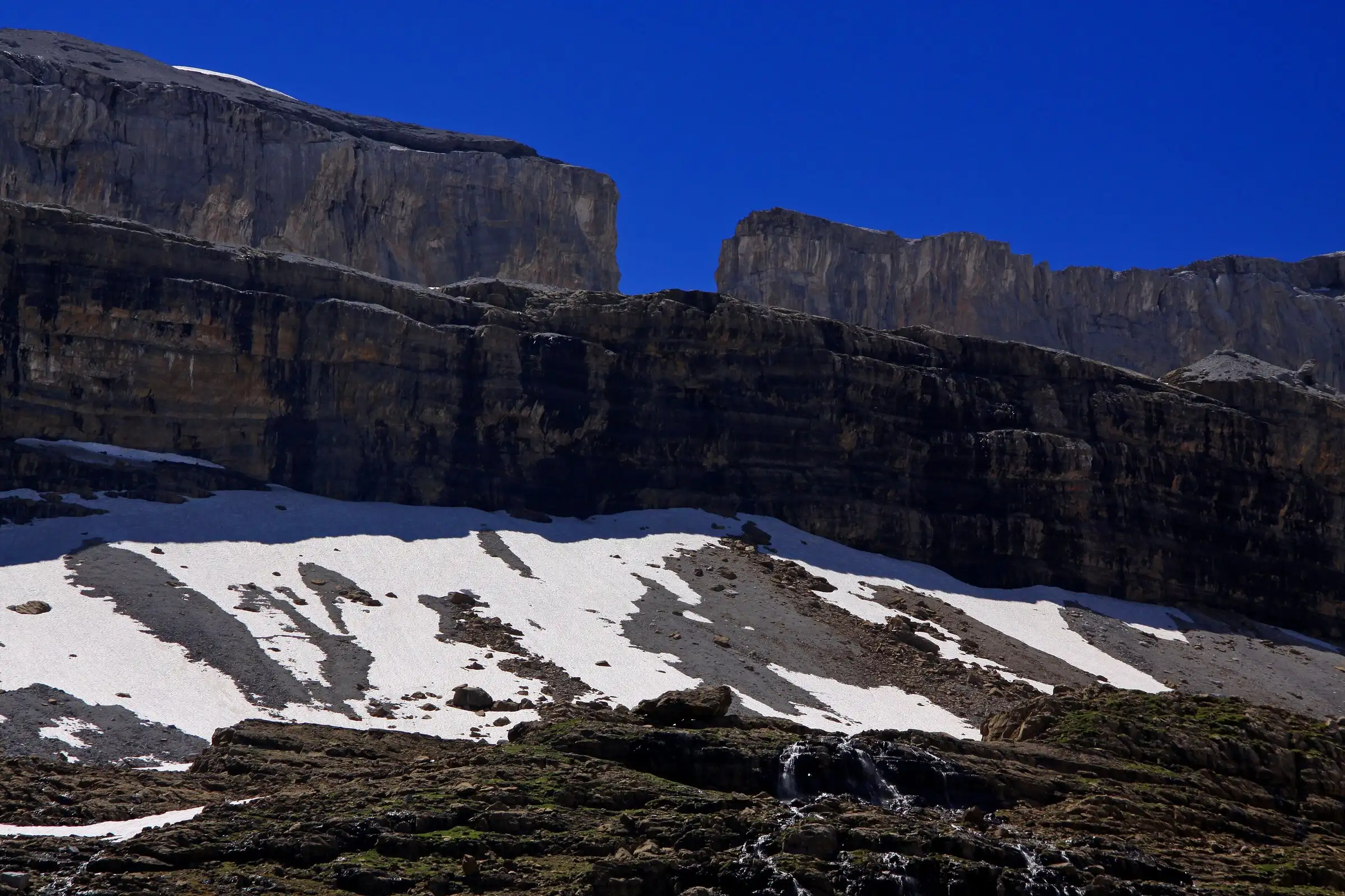
Brèche de Roland from the Col des Tentes
Pyrenees, Gavarnie-Gèdre (65) · Out and backOfficial rating by Vallées de Gavarnie (fiche Geotrek de la CC Pyrénées Vallées des Gaves)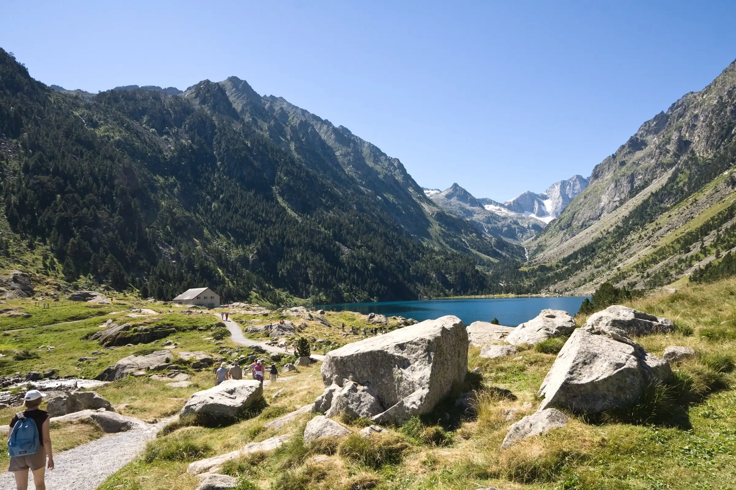
Lac de Gaube from Pont d'Espagne
Pyrenees, Cauterets (65) · Out and backOfficial rating by Vallées de Gavarnie (fiche Geotrek de la CC Pyrénées Vallées des Gaves)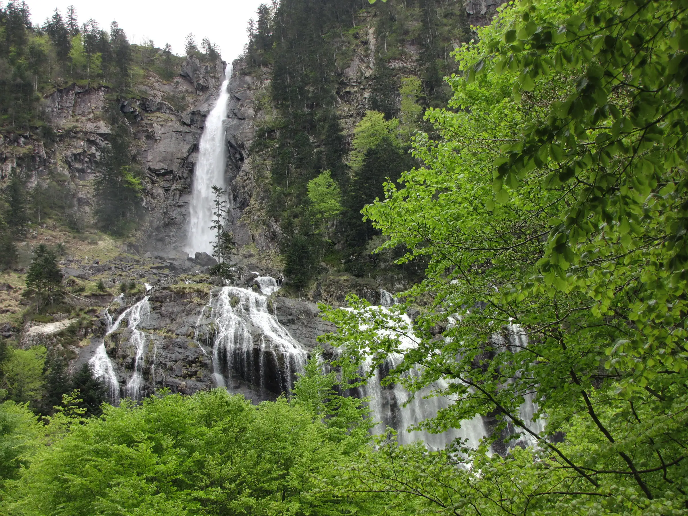
Cascade d'Ars from Aulus-les-Bains
Pyrenees, Aulus-les-Bains (09) · Out and backOfficial rating by CRT Occitanie (seule fiche randonnée officielle trouvée ; la fiche de l'office du Couserans est une fiche trail sans cotation)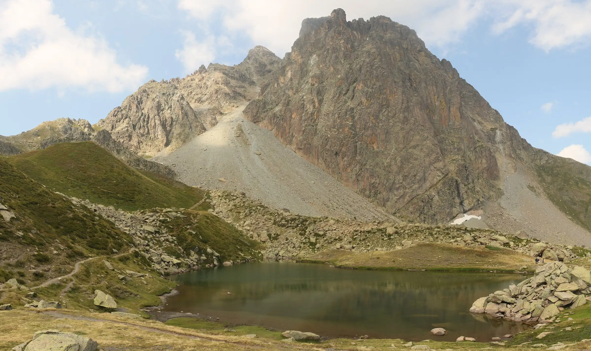
Pic du Midi d'Ossau loop
Pyrenees, Laruns (64) · LoopOfficial rating by Béarn Pyrénées, tourisme64 (site touristique départemental des Pyrénées-Atlantiques)