
Néouvielle lakes via the Col d'Estoudou
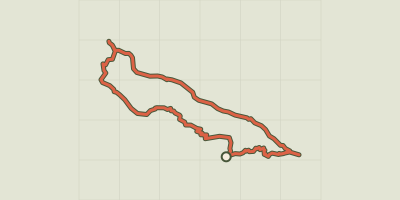
Key facts
- Distance
- 10.7 km
- Ascent
- +572 m
- Descent
- −523 m
- Estimated time
- 3 hr 30
- hiking
- Difficulty
- Hard
- official rating
- Route
- Loop
- back to the start
Official time: 5 hr 30
Profile and gradient
- under 10%
- 10 to 20%
- over 20%
Gradient along the route: 6.7 km under 10%, 2.7 km at 10 to 20% and 1.3 km over 20%. Elevation from 1,856 m to 2,251 m over 10.7 km.

Description
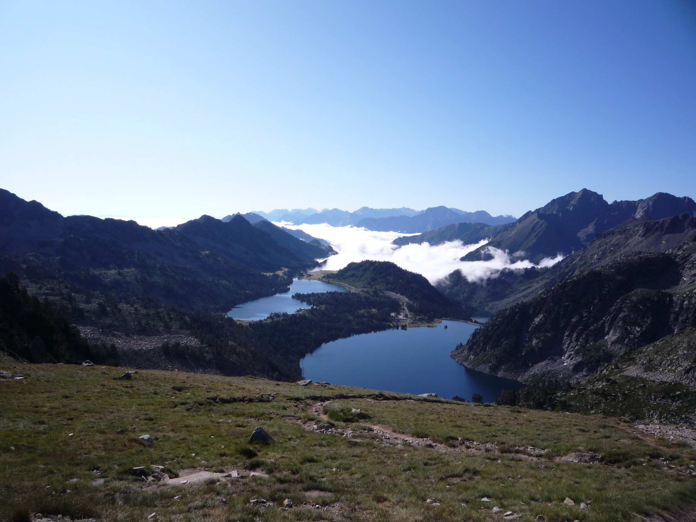
From the Lac d'Orédon car park (1,860 m), this loop from the Piau-Engaly tourist office links four lakes of the Néouvielle massif: Orédon, the Laquettes, Aubert and Aumar. You climb to the Aubert dam on the Laquettes path, then reach Lac d'Aumar and follow its south shore before crossing the pine wood of the Passades d'Aumar. The path then climbs to the Col d'Estoudou (2,260 m), with a view of Lac de l'Oule, and drops back to Orédon in many zigzags, a steady 410 m descent. Our track measures 10.7 km with 528 m of ascent; the official sheet gives 10.7 km, 572 m and 5 hr 30, and rates the walk as difficult. Applied to the official track, our calculation method gives 561 m, so the rest of the gap comes from small differences in the line. The route lies in the Néouvielle nature reserve, where dogs are not allowed and swimming should be avoided. The sheet advises carrying at least 1.5 litres of water per person.
Difficulty
Official rating: hard, by Office de tourisme de Piau-Engaly (fiche Geotrek Hautes-Pyrénées).
Before you go
- Néouvielle nature reserve: dogs not allowed.
- No swimming, to protect a fragile habitat.
- Steady 410 m descent from the Col d'Estoudou to Orédon.
- Carry at least 1.5 litres of water per person.
Getting there
Start: Lac d'Orédon car park, Saint-Lary-Soulan / Aragnouet (65).
By car: D929 to the Lac d'Orédon turn-off, then D117 to the car park.
By public transport: No public transport listed on the official sheet.
Season
Snow-free months only. The paths sit between 1,850 and 2,260 m: check snow cover and whether the Orédon road is open with the tourist office.
Sources
- Track: © OpenStreetMap contributors, ODbL 1.0 (www.openstreetmap.org/copyright). Time estimated by GPX Path with the Mac app rule, breaks not included.
- Official time: 5 hr 30, geotrek65admin.openig.org
- Official elevation gain: 572 m, Office de tourisme de Piau-Engaly (Geotrek Hautes-Pyrénées)
- Les lacs du Néouvielle (fiche PDF officielle)Office de tourisme de Piau-Engaly (Geotrek Hautes-Pyrénées), accessed 27 October 2026
Nearby tracks
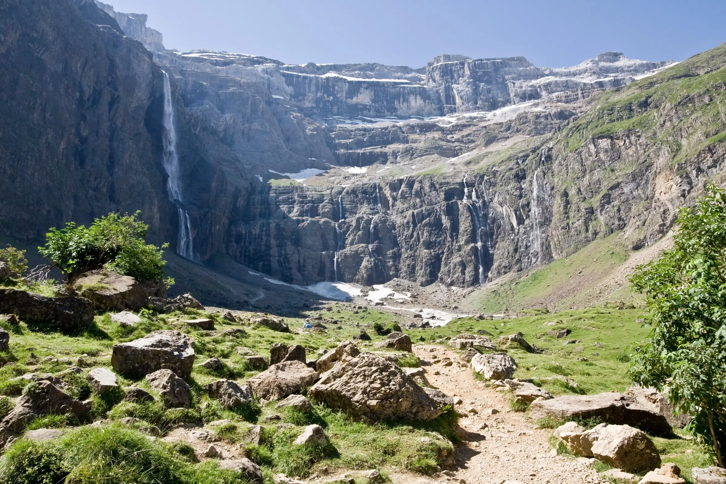

Cirque de Gavarnie via the Espugues ledge path
Pyrenees, Gavarnie-Gèdre (65) · LoopOfficial rating by Vallées de Gavarnie (fiche Geotrek de la CC Pyrénées Vallées des Gaves)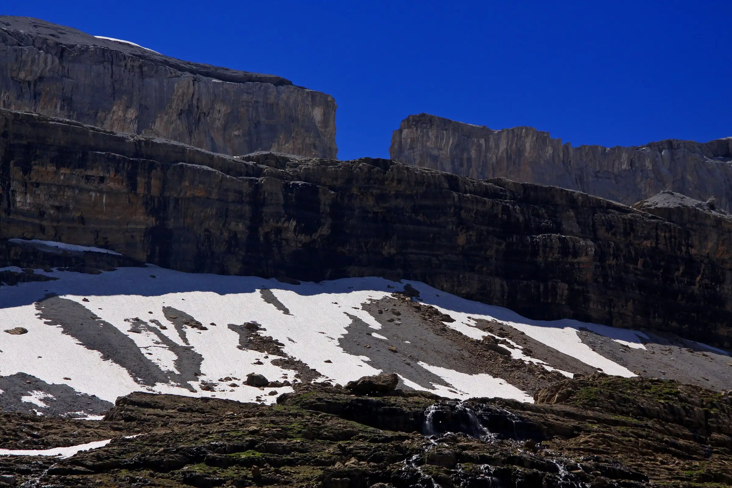
Brèche de Roland from the Col des Tentes
Pyrenees, Gavarnie-Gèdre (65) · Out and backOfficial rating by Vallées de Gavarnie (fiche Geotrek de la CC Pyrénées Vallées des Gaves)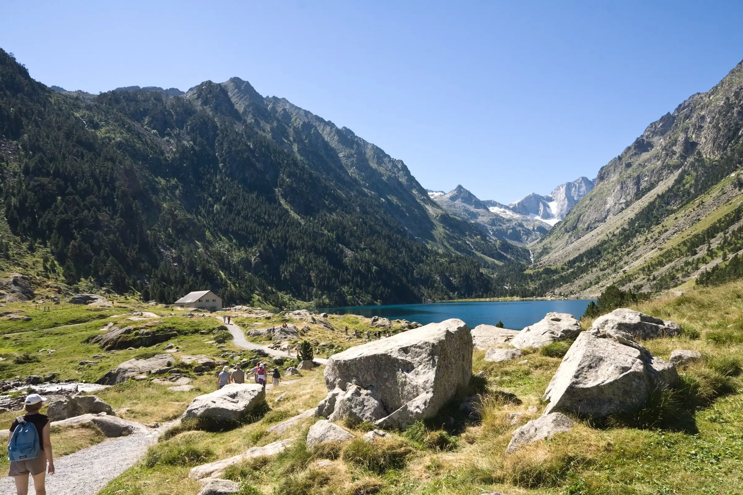
Lac de Gaube from Pont d'Espagne
Pyrenees, Cauterets (65) · Out and backOfficial rating by Vallées de Gavarnie (fiche Geotrek de la CC Pyrénées Vallées des Gaves)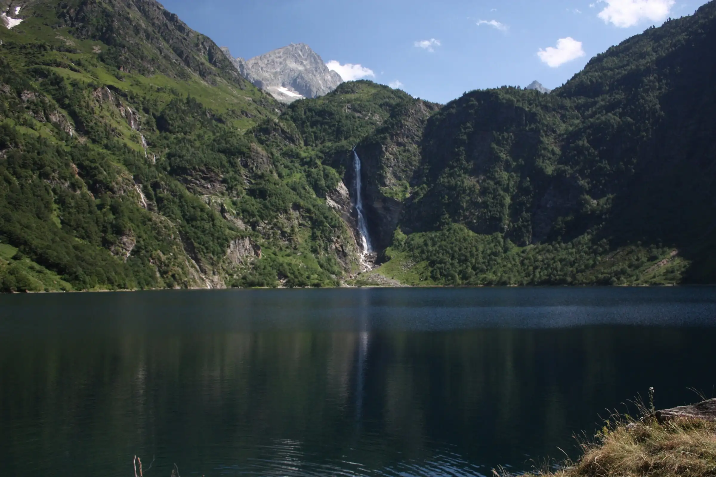
Lac d'Oô from Granges d'Astau
Pyrenees, Oô (31) · Out and backOfficial rating by Haute-Garonne Tourisme (fiche 41, le lac d'Oô)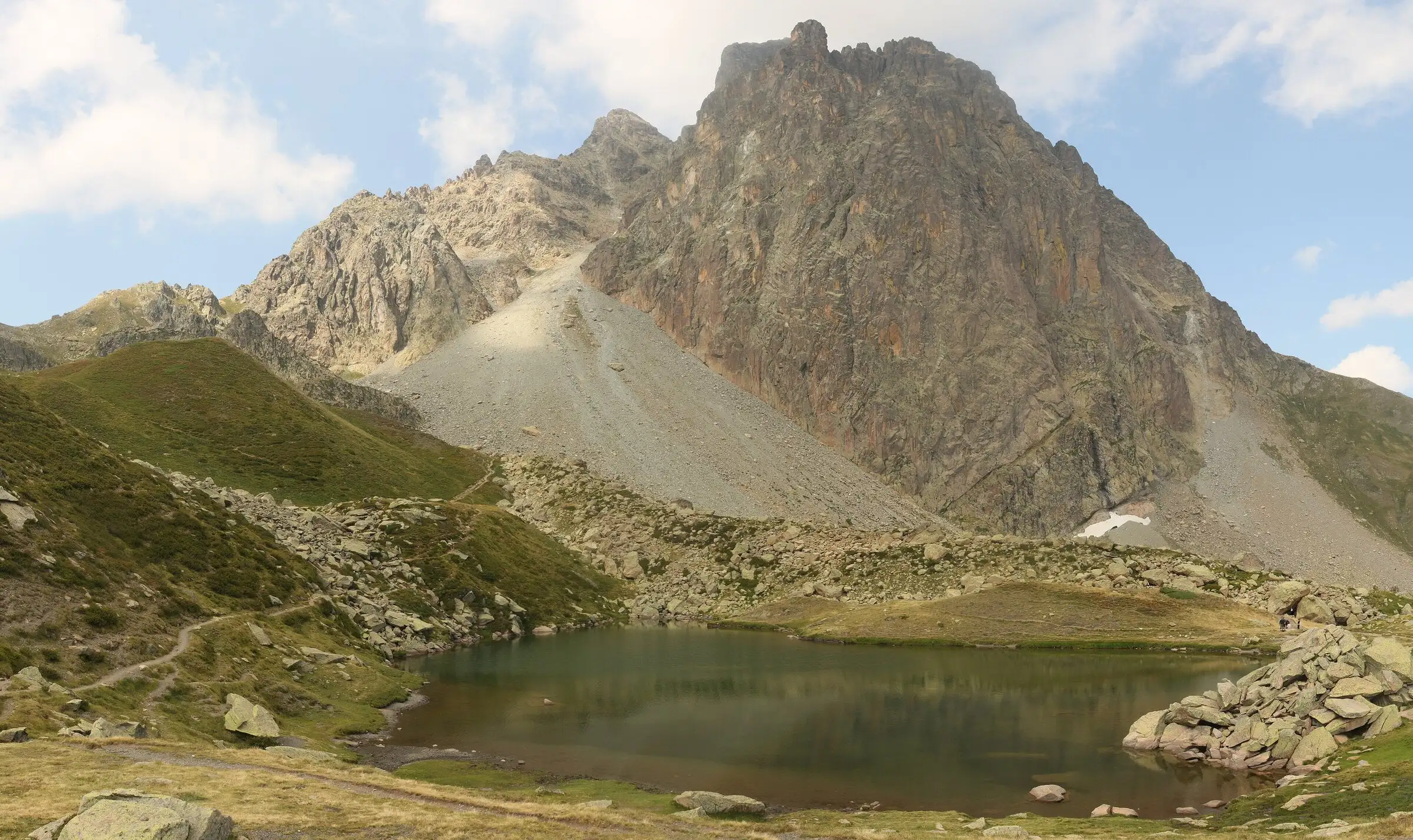
Pic du Midi d'Ossau loop
Pyrenees, Laruns (64) · LoopOfficial rating by Béarn Pyrénées, tourisme64 (site touristique départemental des Pyrénées-Atlantiques)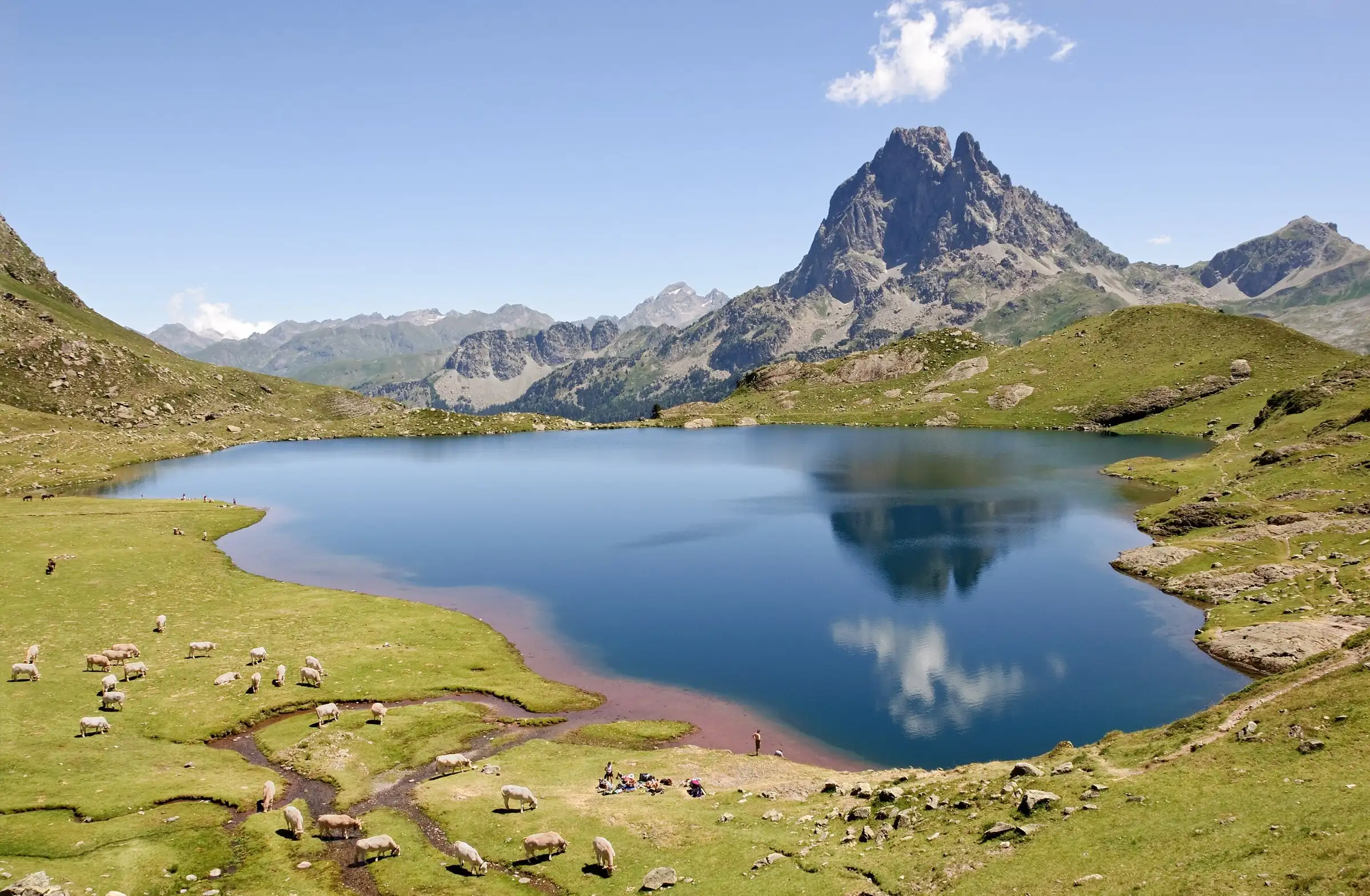
Ayous lakes from Bious-Artigues
Pyrenees, Laruns (64) · Out and backOfficial rating by Béarn Pyrénées, tourisme64 (site touristique départemental des Pyrénées-Atlantiques)