
Cirque de Gavarnie via the Espugues ledge path

Key facts
- Distance
- 9.4 km
- Ascent
- +406 m
- Descent
- −402 m
- Estimated time
- 3 hr
- hiking
- Difficulty
- Moderate
- official rating
- Route
- Loop
- back to the start
Official time: 3 hr 45
Profile and gradient
- under 10%
- 10 to 20%
- over 20%
Gradient along the route: 5.9 km under 10%, 2.8 km at 10 to 20% and 0.7 km over 20%. Elevation from 1,366 m to 1,758 m over 9.4 km.

Description
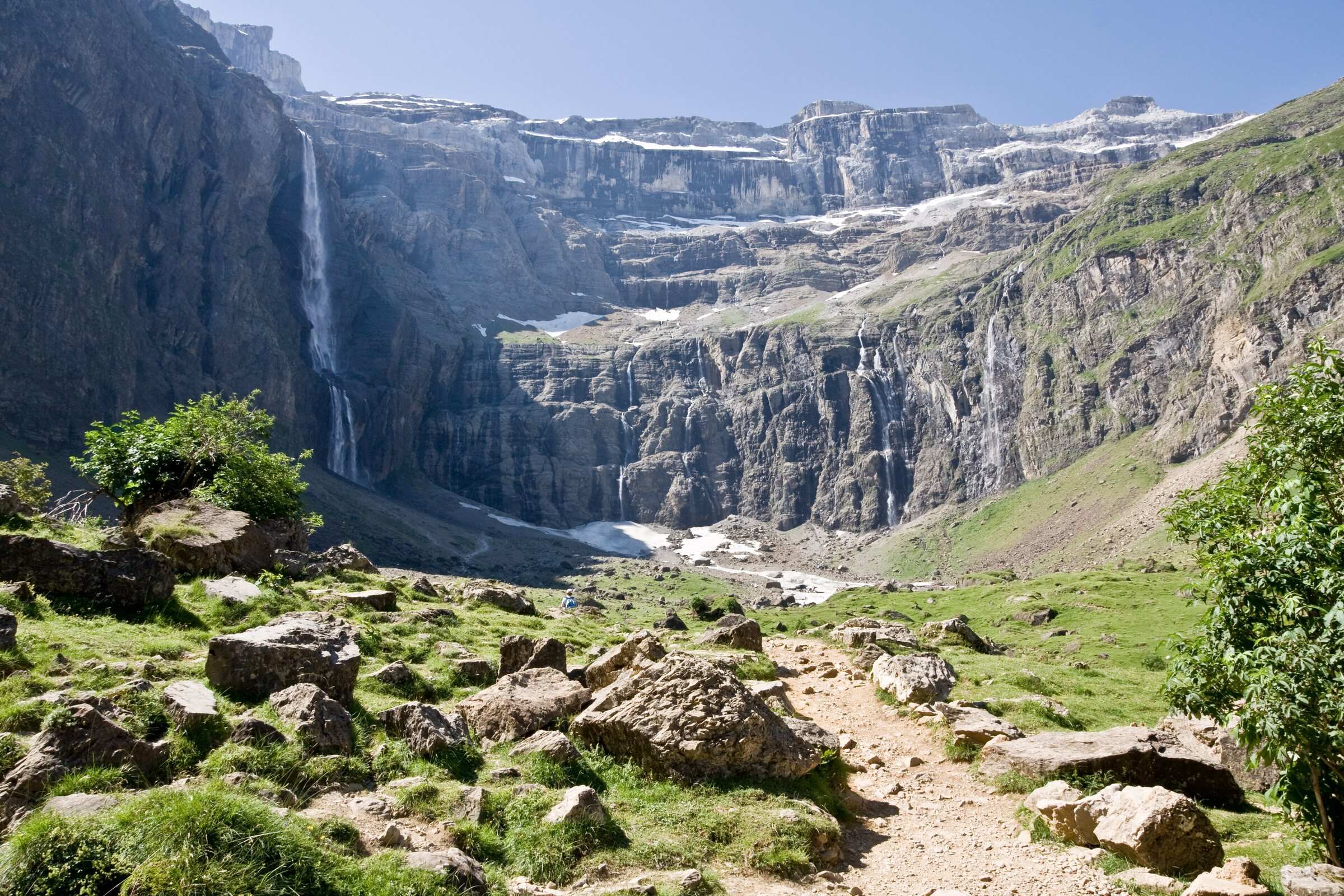
This loop starts at the Gavarnie tourist office (1,365 m) and reaches the head of the cirque along the Espugues ledge path, instead of the wide track most visitors take. After the bridge by La Bergerie campsite, you follow the opposite bank of the river, then the zigzags of a wooded slope up to the Pailla hut, at about 1,740 m. The ledge then crosses the whole slope beneath dripping cliffs, slowly losing height, down to the Hôtellerie du Cirque (1,560 m). The way back follows the main track across the Prade plateau. Our track measures 9.4 km with 404 m of ascent; the official sheet gives 9.4 km, 406 m and 3 hr 45. From the Hôtellerie, the foot of the Grande Cascade, the highest waterfall in mainland France according to the Occitanie tourist board, takes about 45 more minutes up. The ledge has two narrow, slightly exposed passages: avoid it with snow or ice. Part of the route lies in the National Park core zone, where dogs are not allowed.
Difficulty
Official rating: moderate, by Vallées de Gavarnie (fiche Geotrek de la CC Pyrénées Vallées des Gaves).
Before you go
- The Espugues ledge path is narrow and exposed in places: take care with children, avoid it with snow or ice.
- Part of the route is in the National Park core zone: dogs not allowed.
- The side trip to the foot of the Grande Cascade (about 45 min up, 35 min down, nearly 200 m extra ascent) ends very steep, with frequent rockfall.
Getting there
Start: Gavarnie tourist office (paid car parks at the village entrance), Gavarnie-Gèdre (65).
By car: From Luz-Saint-Sauveur, D921 south for 20 km to Gavarnie.
By public transport: Lourdes railway station, then summer bus 968 Lourdes to Gavarnie (June to September), stop Gavarnie tourist office.
Season
June to October. Strongly advised against in winter and spring: avalanche debris often blocks the ledge path until late (ask the tourist office).
Sources
- Track: © OpenStreetMap contributors, ODbL 1.0 (www.openstreetmap.org/copyright). Time estimated by GPX Path with the Mac app rule, breaks not included.
- Official time: 3 hr 45, rando.valleesdegavarnie.com
- Official elevation gain: 406 m, Vallées de Gavarnie (Geotrek, CC Pyrénées Vallées des Gaves)
- Le cirque de Gavarnie par la corniche des Espugues (fiche officielle)Vallées de Gavarnie (Geotrek, CC Pyrénées Vallées des Gaves), accessed 27 October 2026
- Le cirque de GavarnieCRT Occitanie, accessed 27 October 2026
- Animaux domestiques (réglementation du cœur)Parc national des Pyrénées, accessed 27 October 2026
Nearby tracks
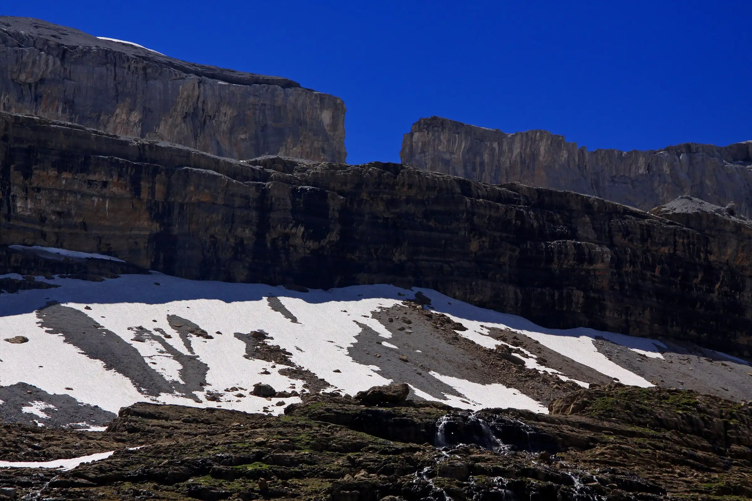

Brèche de Roland from the Col des Tentes
Pyrenees, Gavarnie-Gèdre (65) · Out and backOfficial rating by Vallées de Gavarnie (fiche Geotrek de la CC Pyrénées Vallées des Gaves)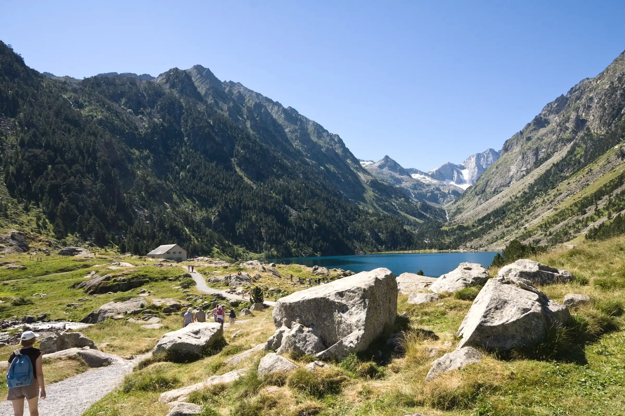
Lac de Gaube from Pont d'Espagne
Pyrenees, Cauterets (65) · Out and backOfficial rating by Vallées de Gavarnie (fiche Geotrek de la CC Pyrénées Vallées des Gaves)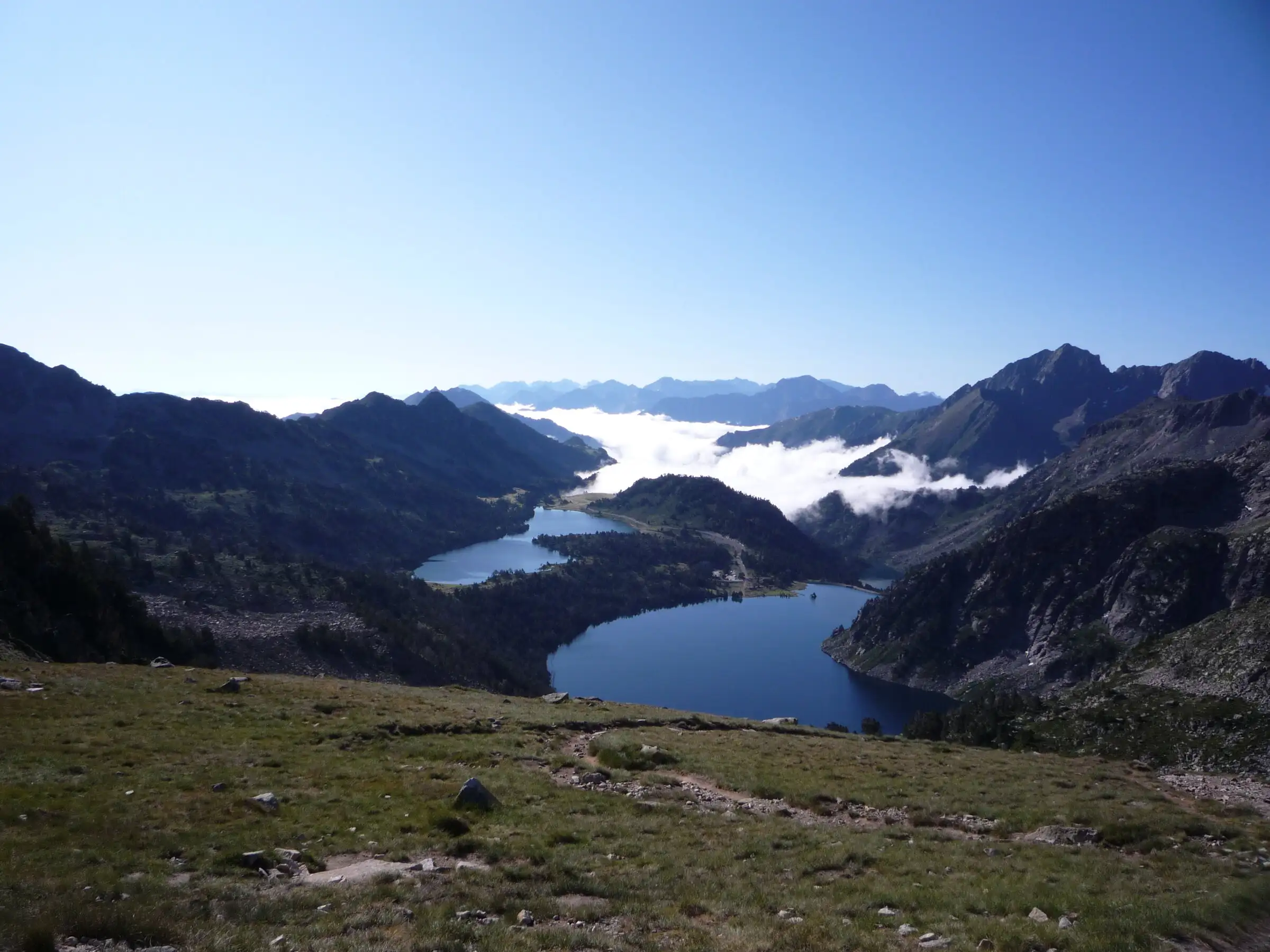
Néouvielle lakes via the Col d'Estoudou
Pyrenees, Saint-Lary-Soulan / Aragnouet (65) · LoopOfficial rating by Office de tourisme de Piau-Engaly (fiche Geotrek Hautes-Pyrénées)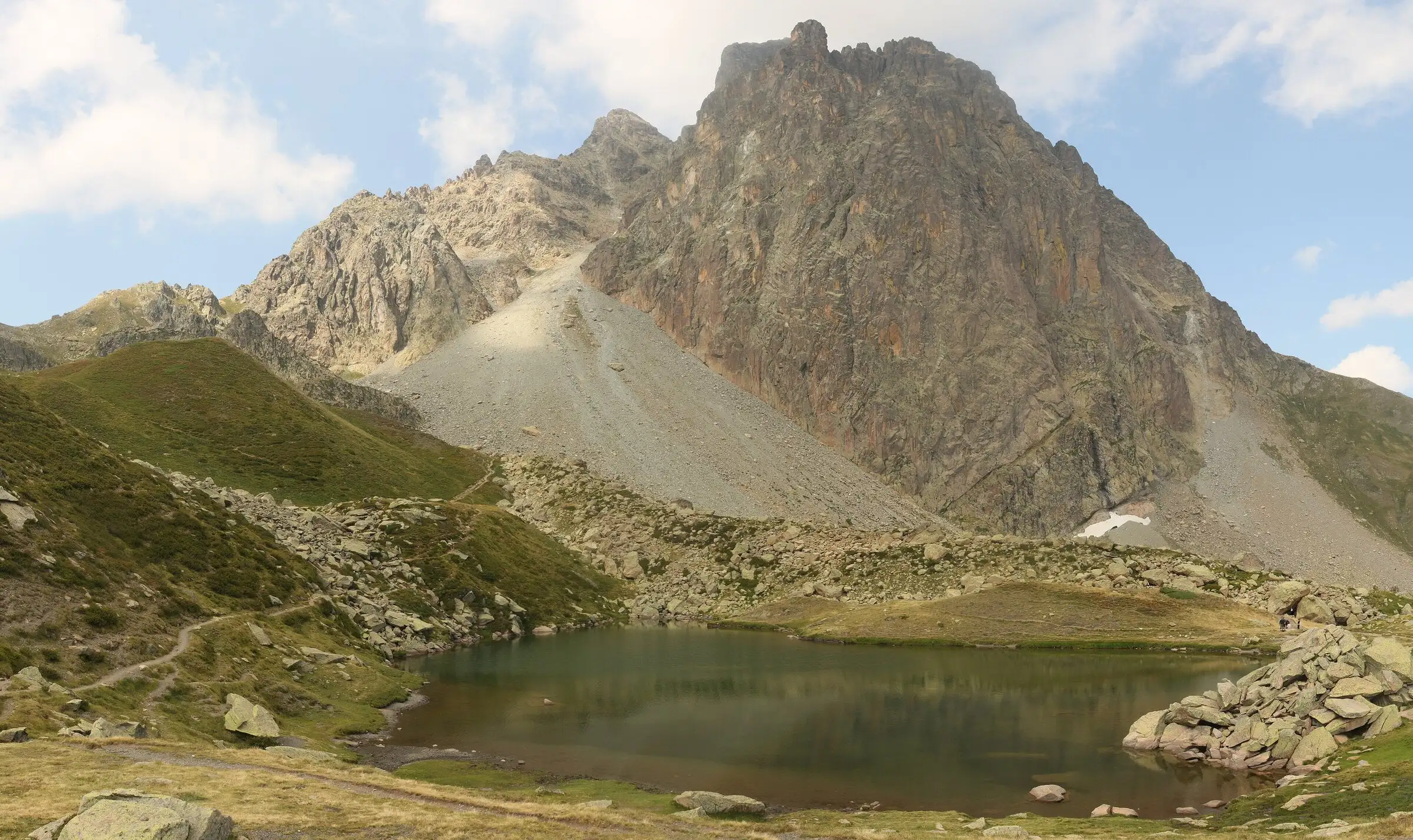
Pic du Midi d'Ossau loop
Pyrenees, Laruns (64) · LoopOfficial rating by Béarn Pyrénées, tourisme64 (site touristique départemental des Pyrénées-Atlantiques)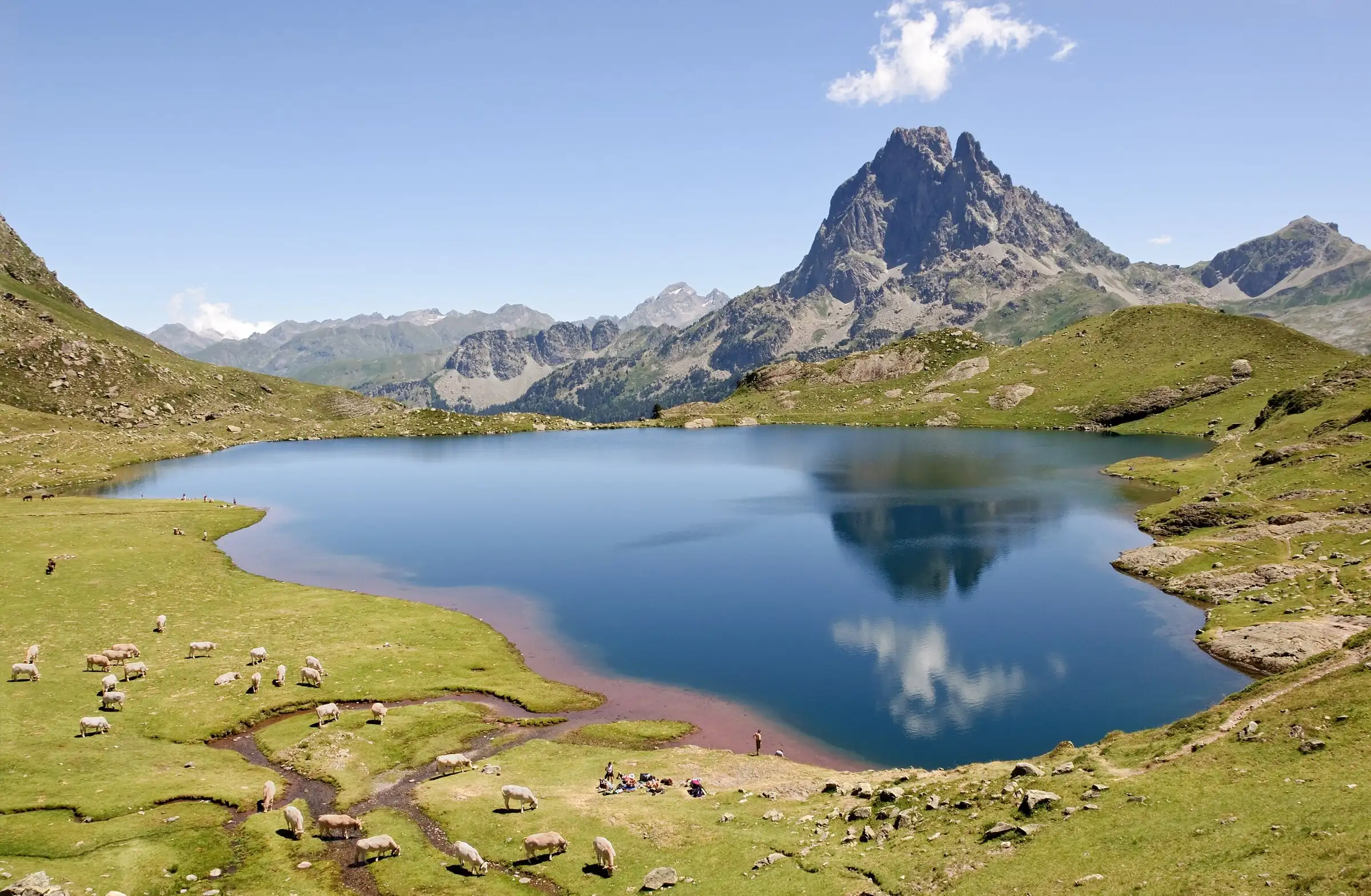
Ayous lakes from Bious-Artigues
Pyrenees, Laruns (64) · Out and backOfficial rating by Béarn Pyrénées, tourisme64 (site touristique départemental des Pyrénées-Atlantiques)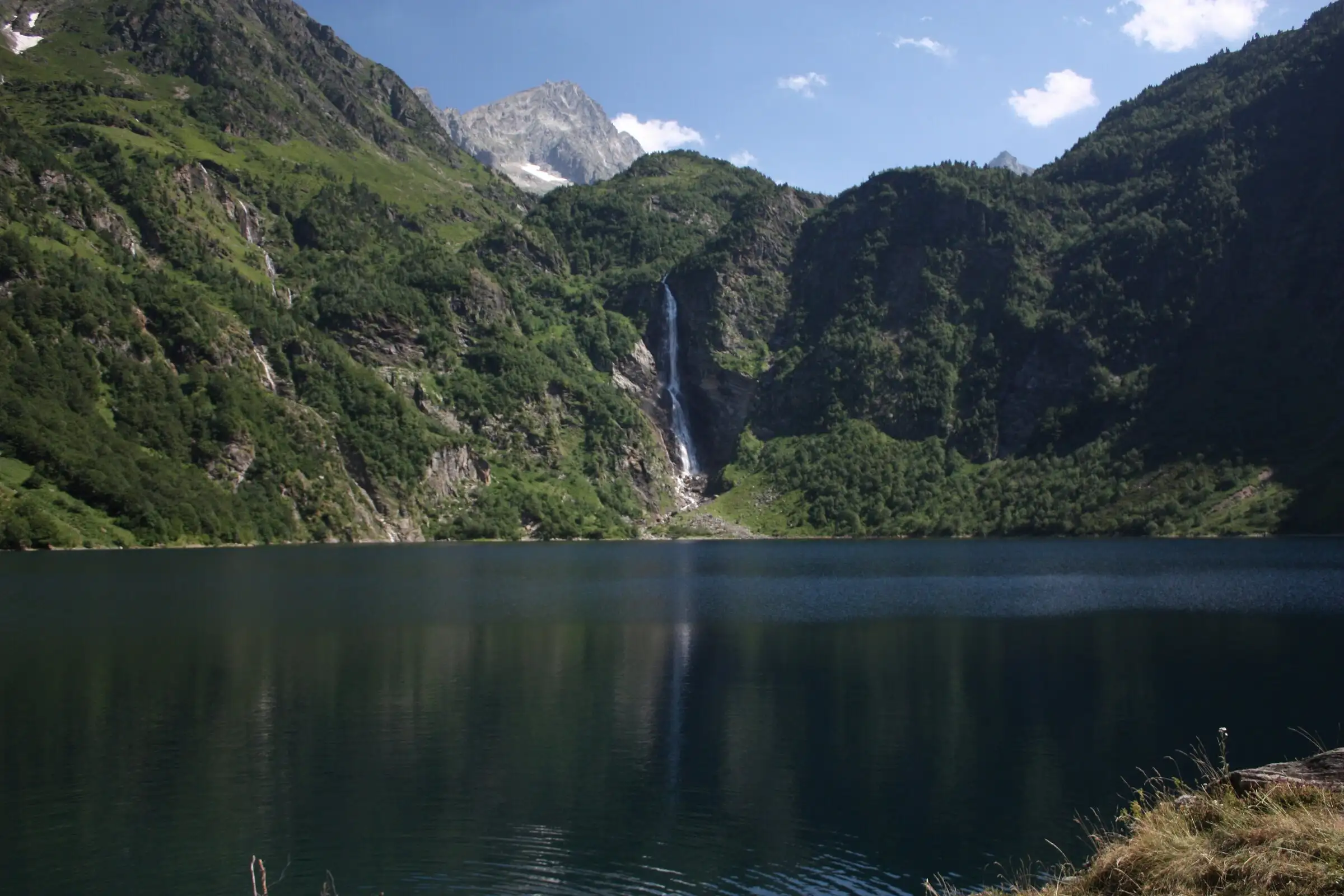
Lac d'Oô from Granges d'Astau
Pyrenees, Oô (31) · Out and backOfficial rating by Haute-Garonne Tourisme (fiche 41, le lac d'Oô)