
Brèche de Roland from the Col des Tentes
Key facts
- Distance
- 11.0 km
- Ascent
- +584 m
- Descent
- −603 m
- Estimated time
- 3 hr 50
- hiking
- Difficulty
- Hard
- official rating
- Route
- Out and back
- same way back
Official time: 5 hr 30
Profile and gradient
- under 10%
- 10 to 20%
- over 20%
Gradient along the route: 6.0 km under 10%, 2.7 km at 10 to 20% and 2.2 km over 20%. Elevation from 2,207 m to 2,788 m over 11.0 km.

Description
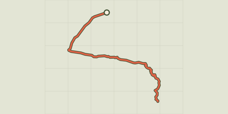
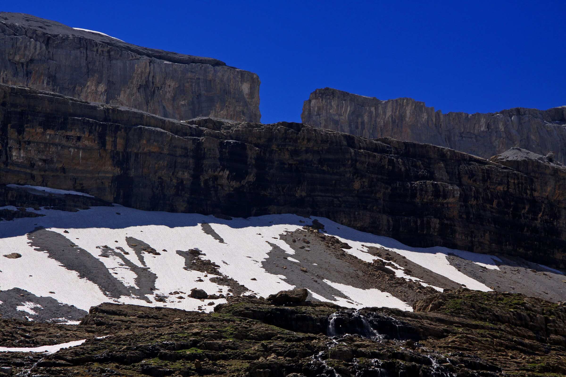
From the Col des Tentes (2,207 m), at the end of the Gavarnie-Gèdre ski resort road, an almost level path leads to the Port de Boucharo, a border pass. Without crossing into Spain, the trail runs along the foot of the Gabiétous and the Taillon, climbs a side valley and fords the stream from the Taillon glacier, a crossing that can be tricky depending on conditions. Zigzags through the rocks lead to the Col des Sarradets and the Brèche de Roland hut (2,587 m). Then comes a steep moraine step, often under snow, and a short scramble on loose ground up to the gap itself (2,807 m), which looks out over Spain's Ordesa y Monte Perdido National Park. Our out-and-back track measures 11.0 km with 605 m of ascent; the official sheet gives 11 km, 584 m and 5 hr 30. Without snow gear, the window usually runs from early August to mid-September, and crampons are often advised outside it. In autumn, overnight refreezing makes the ford awkward. The route lies in the National Park core zone, where dogs are not allowed.
Difficulty
Official rating: hard, by Vallées de Gavarnie (fiche Geotrek de la CC Pyrénées Vallées des Gaves).
Before you go
- The Taillon waterfall ford can be tricky: snow bridges in early summer, high flow, overnight refreezing in autumn.
- Steep moraine step below the gap, often snow-covered: crampons are often advised, check conditions first.
- A short scramble on loose ground just below the gap.
- National Park core zone: dogs not allowed, bivouac more than an hour's walk from any road and from 7 pm to 9 am.
Getting there
Start: Col des Tentes, end of the Gavarnie-Gèdre ski resort road, Gavarnie-Gèdre (65).
By car: From Luz-Saint-Sauveur, D921 to Gavarnie, then D923 towards the Gavarnie-Gèdre ski resort up to the Col des Tentes.
By public transport: No public transport access.
Season
Usually early August to mid-September for walkers without snow gear; snow often lingers until late July. The Col des Tentes road is closed in winter and well into spring.
Sources
- Track: © OpenStreetMap contributors, ODbL 1.0 (www.openstreetmap.org/copyright). Time estimated by GPX Path with the Mac app rule, breaks not included.
- Official time: 5 hr 30, rando.valleesdegavarnie.com
- Official elevation gain: 584 m, Vallées de Gavarnie (Geotrek, CC Pyrénées Vallées des Gaves)
- La Brèche de Roland (fiche officielle)Vallées de Gavarnie (Geotrek, CC Pyrénées Vallées des Gaves), accessed 27 October 2026
- Animaux domestiques (réglementation du cœur)Parc national des Pyrénées, accessed 27 October 2026
- Campement et bivouac (réglementation du cœur)Parc national des Pyrénées, accessed 27 October 2026
Nearby tracks
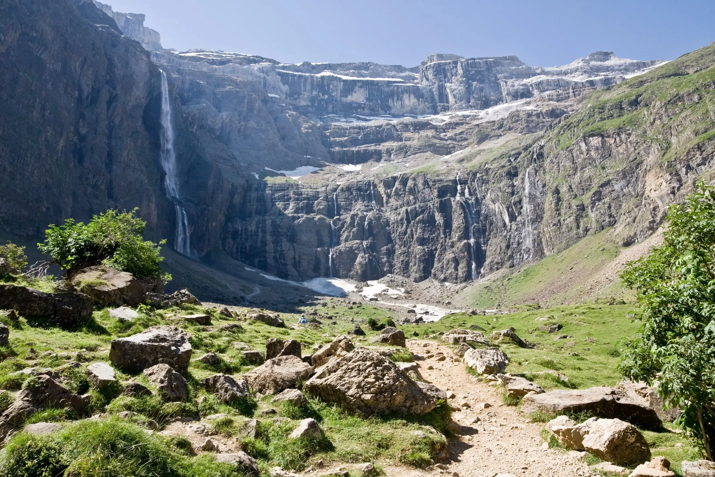

Cirque de Gavarnie via the Espugues ledge path
Pyrenees, Gavarnie-Gèdre (65) · LoopOfficial rating by Vallées de Gavarnie (fiche Geotrek de la CC Pyrénées Vallées des Gaves)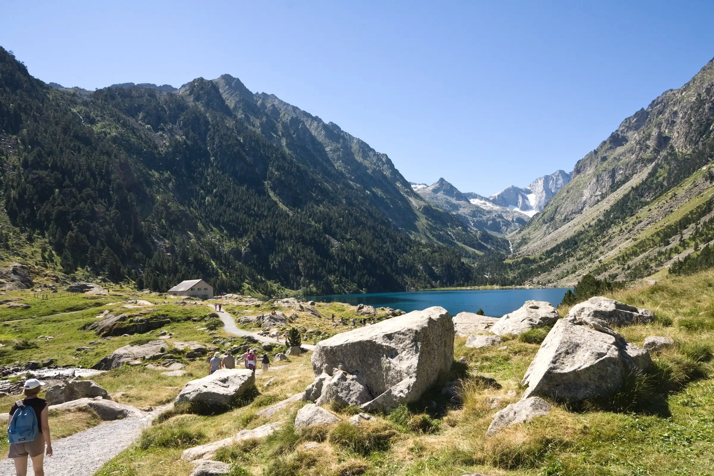
Lac de Gaube from Pont d'Espagne
Pyrenees, Cauterets (65) · Out and backOfficial rating by Vallées de Gavarnie (fiche Geotrek de la CC Pyrénées Vallées des Gaves)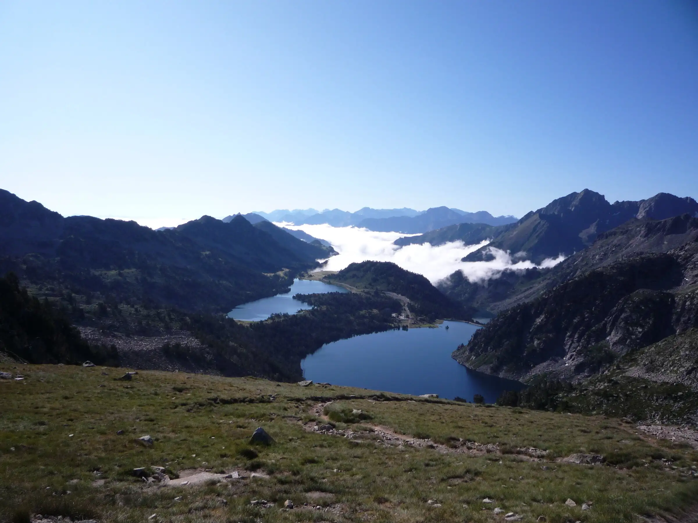
Néouvielle lakes via the Col d'Estoudou
Pyrenees, Saint-Lary-Soulan / Aragnouet (65) · LoopOfficial rating by Office de tourisme de Piau-Engaly (fiche Geotrek Hautes-Pyrénées)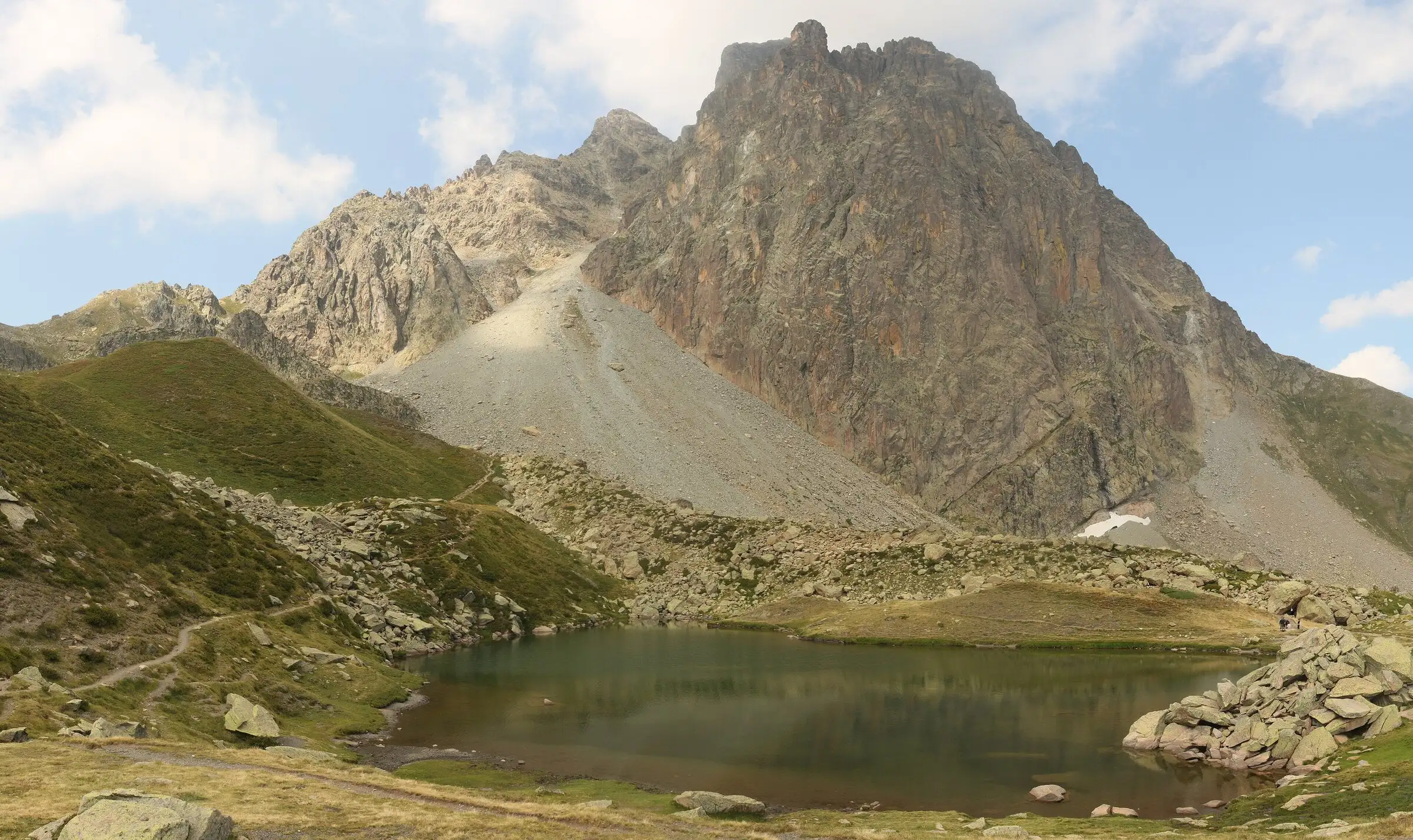
Pic du Midi d'Ossau loop
Pyrenees, Laruns (64) · LoopOfficial rating by Béarn Pyrénées, tourisme64 (site touristique départemental des Pyrénées-Atlantiques)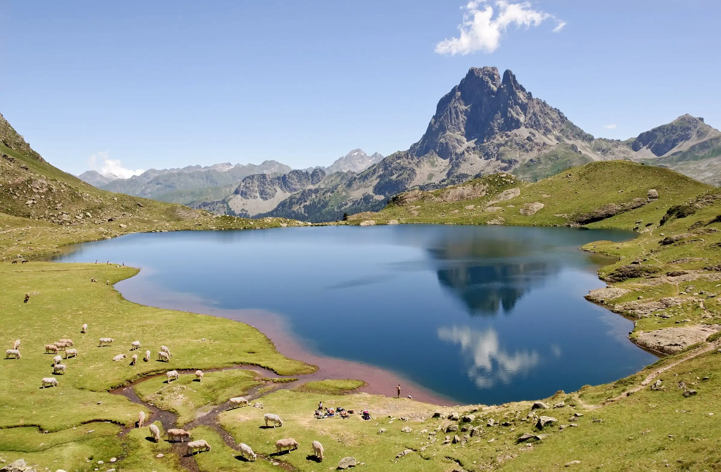
Ayous lakes from Bious-Artigues
Pyrenees, Laruns (64) · Out and backOfficial rating by Béarn Pyrénées, tourisme64 (site touristique départemental des Pyrénées-Atlantiques)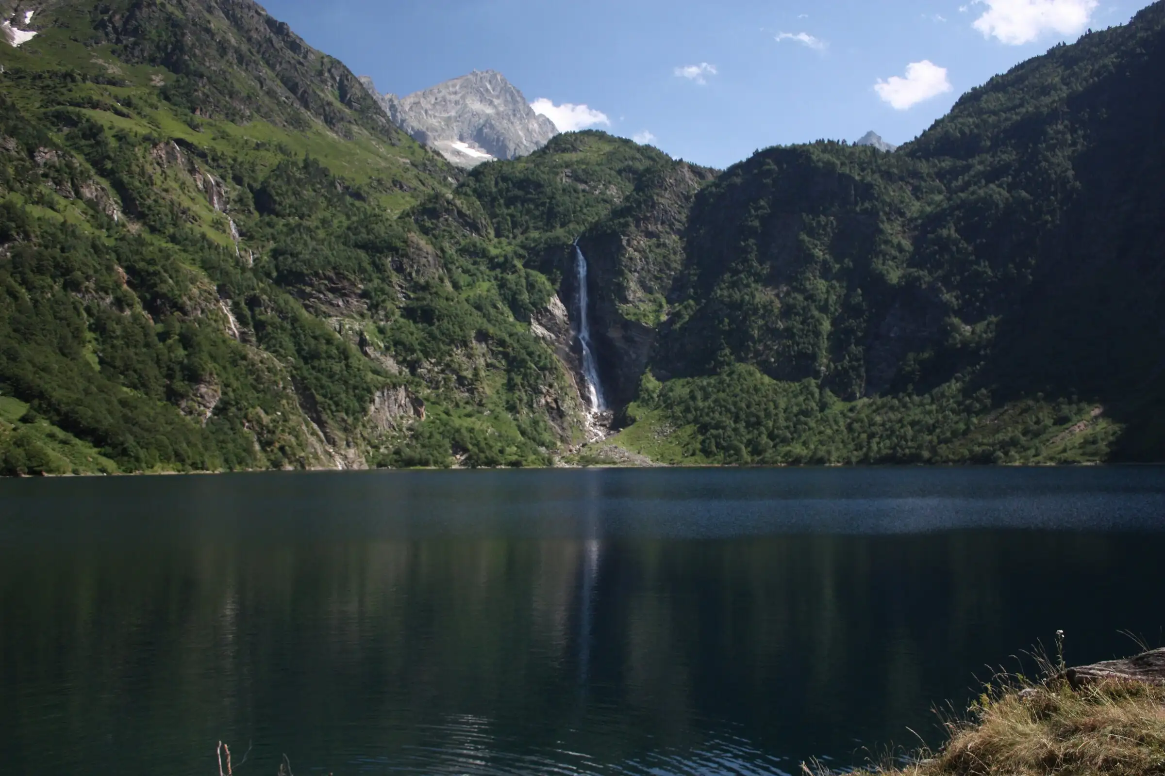
Lac d'Oô from Granges d'Astau
Pyrenees, Oô (31) · Out and backOfficial rating by Haute-Garonne Tourisme (fiche 41, le lac d'Oô)