
Cascade d'Ars from Aulus-les-Bains

Key facts
- Distance
- 9.3 km
- Ascent
- +663 m
- Descent
- −594 m
- Estimated time
- 3 hr 35
- hiking
- Difficulty
- Moderate
- official rating
- Route
- Out and back
- same way back
Official time: 3 hr 30
Profile and gradient
- under 10%
- 10 to 20%
- over 20%
Gradient along the route: 3.3 km under 10%, 4.7 km at 10 to 20% and 1.4 km over 20%. Elevation from 770 m to 1,362 m over 9.3 km.

Description
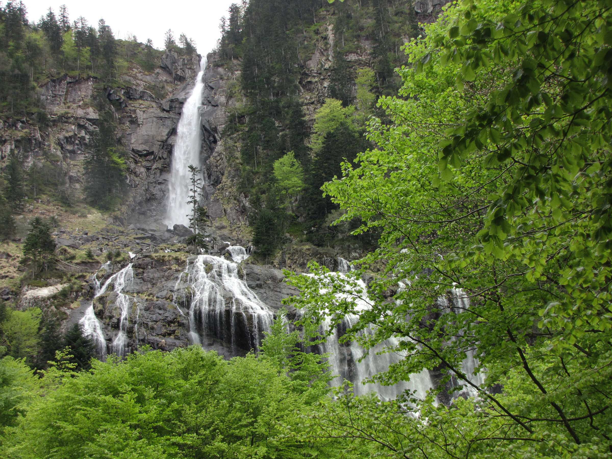
From Aulus-les-Bains, follow the Col de Latrape road (D8) to the first hairpin, then a forest track that climbs gently through woods and pastures. It runs along the Pas d'Enfer, a narrow gorge, and past gullies cut by avalanches, before a path takes over and crosses the Artigous footbridge (1,060 m). The route then climbs the right bank of the Ars stream through beech forest to the foot of the main drop, 110 m high. According to the Occitanie tourist board, the waterfall has three tiers totalling 246 m. You return the same way. Our track, from the tourist office, measures 9.3 km with 595 m of ascent; the official sheet gives 10 km, 663 m and 3 hr 30. Our method applied to the official track gives 588 m, so the gap comes mostly from the calculation. The falls are at their strongest during snowmelt in May and June, but avalanche gullies delay the opening of the path early in the season, so check with the tourist office.
Difficulty
Official rating: moderate, by CRT Occitanie (seule fiche randonnée officielle trouvée ; la fiche de l'office du Couserans est une fiche trail sans cotation).
Before you go
- Avalanche gullies above the track: the path opens late in the season.
- Keep away from the falls when the flow is high.
- The final climb beside the waterfall is steep.
Getting there
Start: Aulus-les-Bains tourist office (free parking in front), Aulus-les-Bains (09).
By car: 33 km south-east of Saint-Girons via the D618, D3 and D32.
By public transport: liO bus 457, stop Aulus-les-Bains centre, 6 minutes' walk from the start.
Season
The waterfall is at its strongest during snowmelt, in May and June. Avalanche gullies delay the opening of the path early in the season: ask at the tourist office.
Sources
- Track: © OpenStreetMap contributors, ODbL 1.0 (www.openstreetmap.org/copyright). Time estimated by GPX Path with the Mac app rule, breaks not included.
- Official time: 3 hr 30, tourisme-occitanie.com
- Official elevation gain: 663 m, CRT Occitanie
- La cascade d'ArsCRT Occitanie, accessed 27 October 2026
- Cascade d'Ars (fiche Espace trail : couloirs d'avalanche, ouverture tardive)Office de tourisme Couserans Pyrénées, accessed 27 October 2026
Nearby tracks
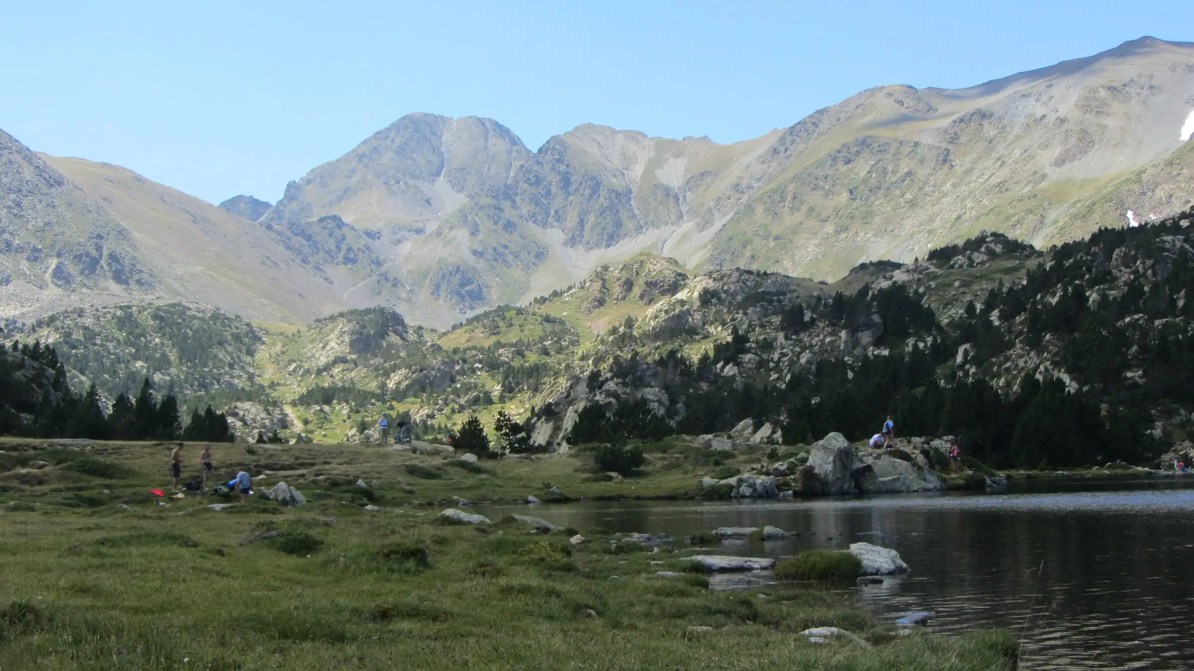

Carlit lakes loop (9 lakes)
Pyrenees, Font-Romeu-Odeillo-Via (66) · LoopOfficial rating by Département des Pyrénées-Orientales (brochure des Bouillouses)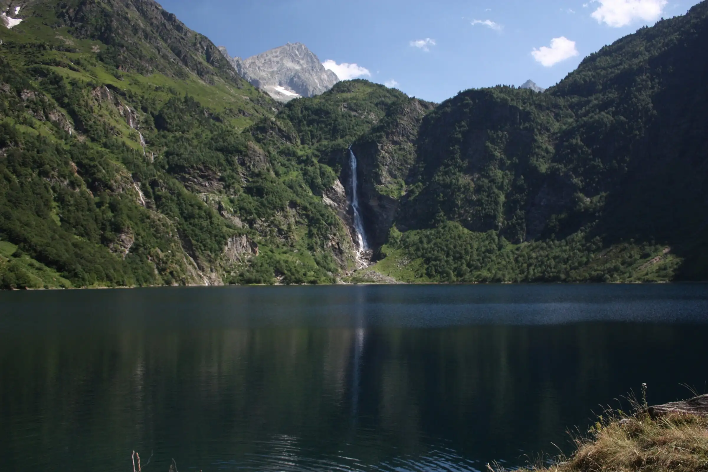
Lac d'Oô from Granges d'Astau
Pyrenees, Oô (31) · Out and backOfficial rating by Haute-Garonne Tourisme (fiche 41, le lac d'Oô)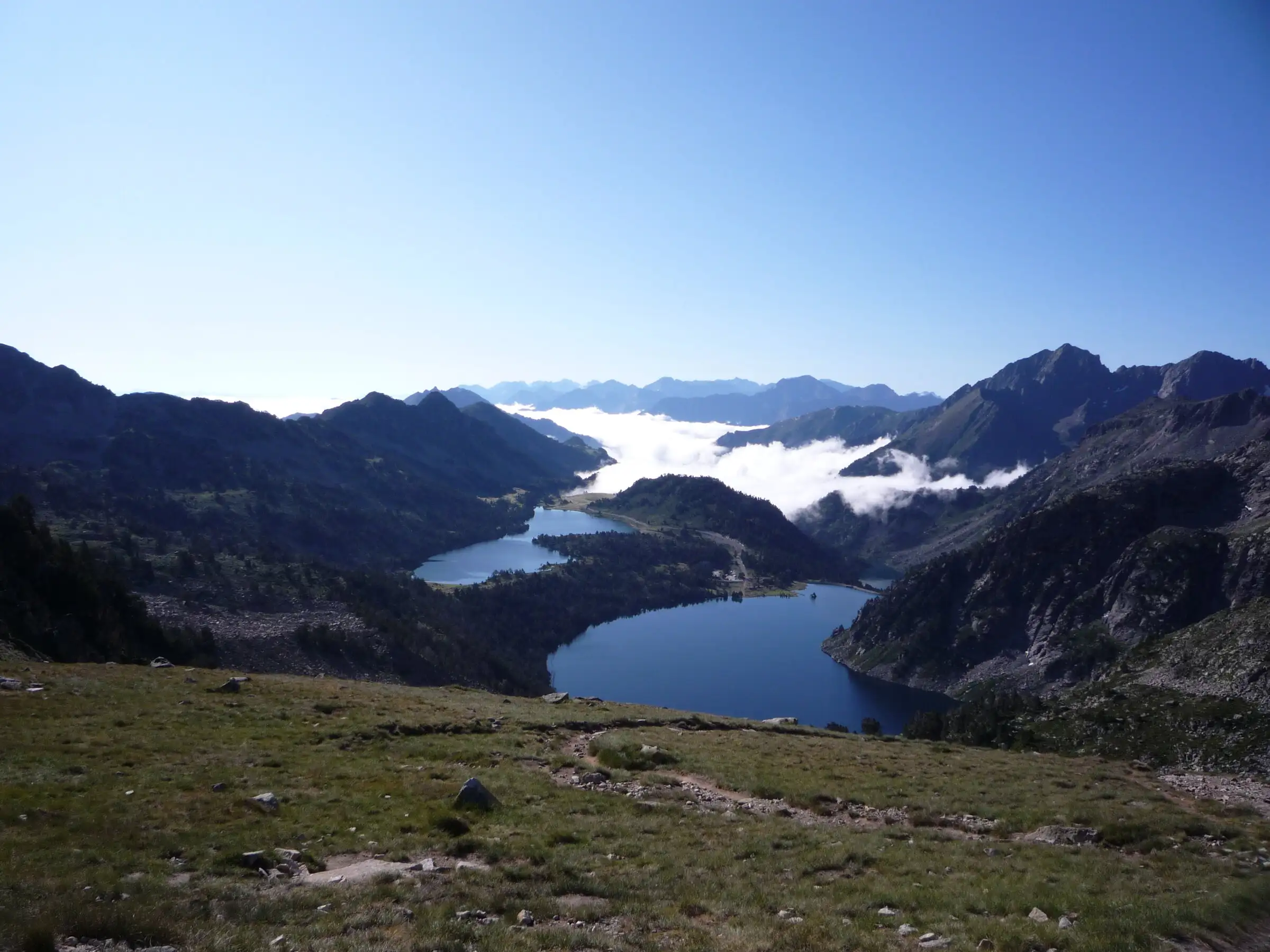
Néouvielle lakes via the Col d'Estoudou
Pyrenees, Saint-Lary-Soulan / Aragnouet (65) · LoopOfficial rating by Office de tourisme de Piau-Engaly (fiche Geotrek Hautes-Pyrénées)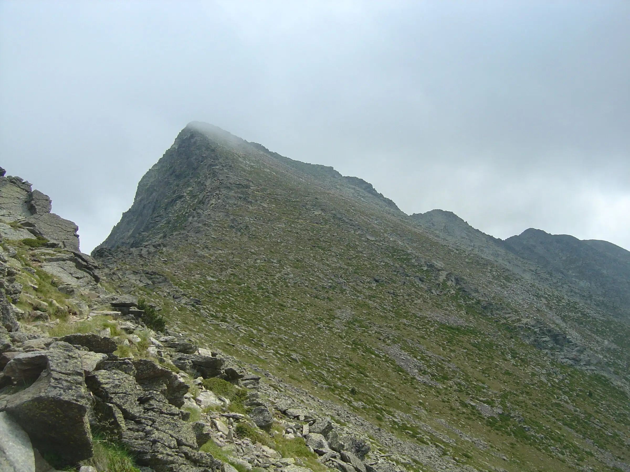
Pic du Canigou via the Cortalets
Pyrenees, Villerach (accès), sommet sur Vernet-les-Bains et Casteil (66) · Out and backOfficial rating by Office de tourisme Conflent Canigó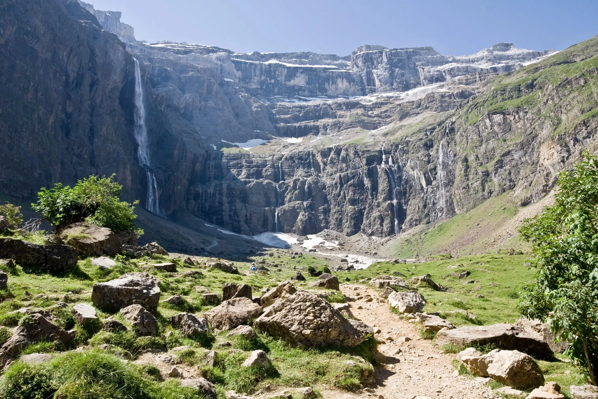
Cirque de Gavarnie via the Espugues ledge path
Pyrenees, Gavarnie-Gèdre (65) · LoopOfficial rating by Vallées de Gavarnie (fiche Geotrek de la CC Pyrénées Vallées des Gaves)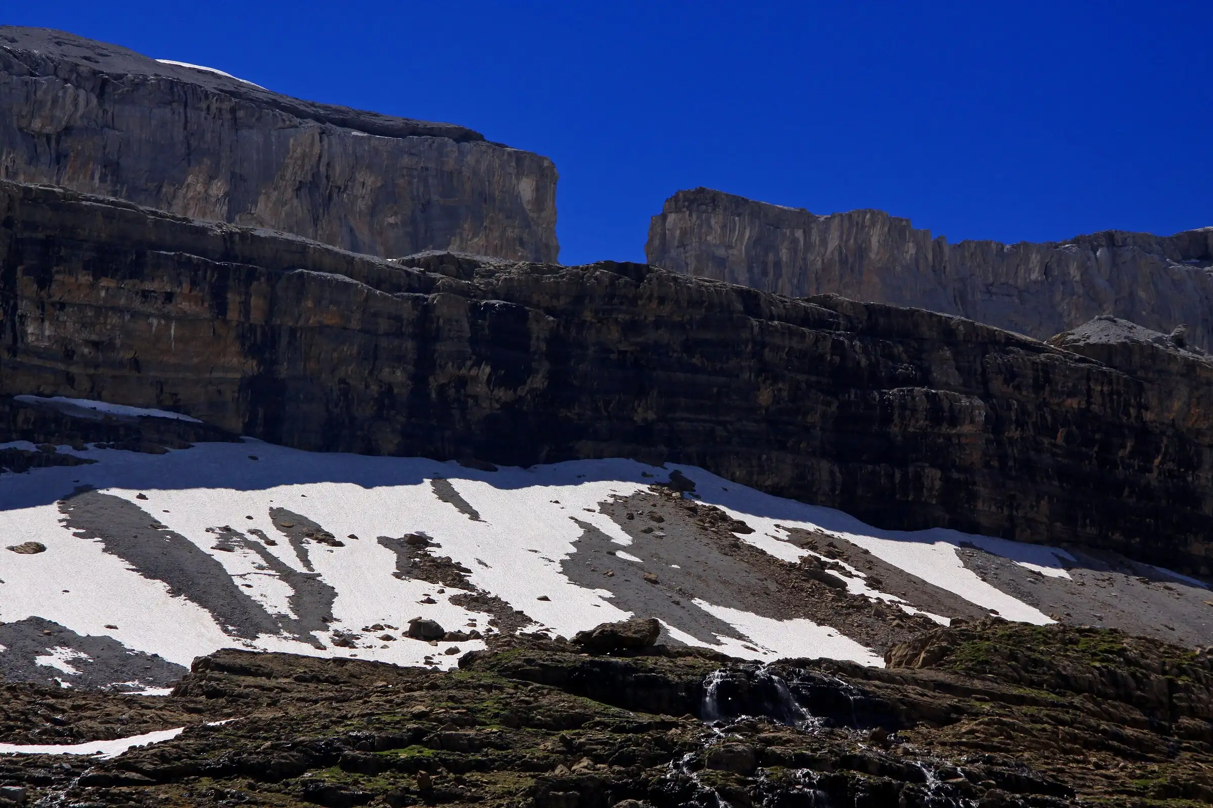
Brèche de Roland from the Col des Tentes
Pyrenees, Gavarnie-Gèdre (65) · Out and backOfficial rating by Vallées de Gavarnie (fiche Geotrek de la CC Pyrénées Vallées des Gaves)