
Le petit bois

Key facts
- Distance
- 9.4 km
- Ascent
- +388 m
- Descent
- −374 m
- Estimated time
- 1 hr 20
- trail running
- Difficulty
- Very easy
- official rating
- Route
- Loop
- back to the start
Profile and gradient
- under 10%
- 10 to 20%
- over 20%
Gradient along the route: 5.9 km under 10% and 3.5 km at 10 to 20%. Elevation from 851 m to 1,082 m over 9.4 km.
Description
Come and explore the area around Chorges and the hamlet of Les Olliviers on the slopes of Grand Châtelard. This wooded route, starting in Chorges, winds along the northern slopes of Grand Châtelard, where the presence of pine trees will give your outing a touch of Provence. The hamlet of Les Olliviers and the peaks of Le Piolit as far as the Aiguilles de Chabrières unfold, a treat for the eyes. - From the station, head towards the Intermarché and cross at the level crossing. Turn left and follow the railway line. - After 100 m turn left onto the track. Stay on the main track heading to the right, then at the next junction continue straight ahead on the uphill track as far as the forest. - At the crossroads, leave the path on the left and continue on the flat path straight ahead. At the junction, continue uphill to the left, then left again until you come to a track. - Take it downhill to reach the hamlet of Olliviers. Take the road downhill, pass the farm building and then take a left fork onto the grassy path. - At the "ravin des Sallières" post continue right downhill then right again. From there, the return journey takes the same route
Difficulty
Official rating: very easy, by Parc national des Écrins.
Getting there
Start: Gare SNCF, Chorges, Chorges (05).
Sources
- Track: Parc national des Écrins, Licence Ouverte 2.0, Licence Ouverte 2.0 (Etalab) (destination.ecrins-parcnational.fr/trek/995638-Le-petit-bois). Time estimated by GPX Path with the Mac app rule, breaks not included.
- Official elevation gain: 388 m, Parc national des Écrins
Nearby tracks

 © OpenStreetMap, SRTM · OpenTopoMap (CC-BY-SA)
The banks of the lake
Provence-Alpes-Côte d'Azur, Chorges (05) · LoopOfficial rating by Parc national des Écrins © OpenStreetMap, SRTM · OpenTopoMap (CC-BY-SA)
Le Piolit vertical kilometre
Provence-Alpes-Côte d'Azur, Chorges (05) · Out and backOfficial rating by Parc national des Écrins © OpenStreetMap, SRTM · OpenTopoMap (CC-BY-SA)
The chalets of Vaucluse
Écrins, Réallon (05) · LoopOfficial rating by Parc national des Écrins © OpenStreetMap, SRTM · OpenTopoMap (CC-BY-SA)
Saint-Apollinaire lake
Écrins, Réallon (05) · LoopOfficial rating by Parc national des Écrins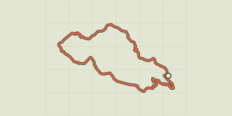 © OpenStreetMap, SRTM · OpenTopoMap (CC-BY-SA)
Aiguilles de Chabrières
Écrins, Réallon (05) · LoopOfficial rating by Parc national des Écrins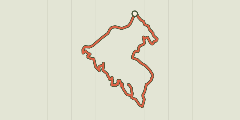 © OpenStreetMap, SRTM · OpenTopoMap (CC-BY-SA)
Pierre-Arnoux
Écrins, Savines-le-Lac (05) · LoopOfficial rating by Parc national des Écrins