
Saint Remy de Provence - Between valley and plateau
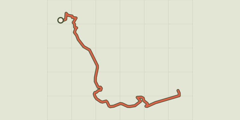
Key facts
- Distance
- 10.5 km
- Ascent
- +337 m
- Descent
- −286 m
- Estimated time
- 2 hr 55
- hiking
- Difficulty
- Easy
- official rating
- Route
- Out and back
- same way back
Profile and gradient
- under 10%
- 10 to 20%
- over 20%
Gradient along the route: 8.9 km under 10% and 1.6 km at 10 to 20%. Elevation from 100 m to 390 m over 10.5 km.
Description
A walk between a shaded valley and the sunny plateau, to listen and discover the birds of the Alpilles. « The forest is a heritage, mixed with history and architecture. It is also useful, playing the role of lungs, where villagers cross each other at the corner of a path, the difference can no longer be told amidst the boundary between construction and nature. True playground for naturalists as for residents, it is above all, a familiar forest, to which each generation of the residents of the Alpilles has gotten attached to deeply. » Jonathan Baudel, Assignment Manager responsible for the sustainable management of the forest at the Alpilles RNP. At the Antiques car park, go along the D5 towards Saint-Rémy-de-Provence and turn right to reach the Saint-PaulCloister at the end of the path surrounded by trees. 1, Opposite of the Cloister, follow the road on the right to bypass it and take the path on the right at the RIS panel (Relais Information Service) of the Alpilles Regional Park. Therefore, follow the RP marked trail (yellow), which runs through the valley and forest. 2 At the crossroads with the small paved road, turn left and follow it. Continue on the road at the next junction before the next crossroads. 3, Continue straight on the road that rises towards the plateau of Caume. At the telecommunication tower, go left towards the GR6 for about 400m. 4, The return begins from this point, by the same route.
Difficulty
Official rating: easy, by Parcs naturels régionaux de Provence-Alpes-Côte d'Azur.
Before you go
- The Cloisterof Saint Paul and the Glanum site are paid sites.
- Come rather early in the morning (7.00 / 7am) or late afternoon (18.00 / 6pm) to enjoy the tranquillity of the area and to see and hear the birds sing.
- Bring a pair of binoculars.
- Bivouacs and dogs (even on leash) are prohibited in the prefectural decree of the biotope protection.
Getting there
Start: Parking des Antiques, Saint-Rémy-de-Provence, Saint-Rémy-de-Provence (13).
Sources
- Track: Parcs naturels régionaux de Provence-Alpes-Côte d'Azur (Chemins des Parcs), Licence Ouverte 2.0, Licence Ouverte 2.0 (Etalab) (www.cheminsdesparcs.fr/trek/39578-SAINT-REMY-DE-PROVENCE---Entre-vallon-et-plateau). Time estimated by GPX Path with the Mac app rule, breaks not included.
- Official elevation gain: 337 m, Parcs naturels régionaux de Provence-Alpes-Côte d'Azur
Nearby tracks

 © OpenStreetMap, SRTM · OpenTopoMap (CC-BY-SA)
Saint Remy de Provence - The Alpilles ridge
Provence-Alpes-Côte d'Azur, Saint-Rémy-de-Provence (13) · LoopOfficial rating by Parcs naturels régionaux de Provence-Alpes-Côte d'Azur © OpenStreetMap, SRTM · OpenTopoMap (CC-BY-SA)
Saint Remy de Provence - La Grosse Galine
Provence-Alpes-Côte d'Azur, Saint-Rémy-de-Provence (13) · LoopOfficial rating by Parcs naturels régionaux de Provence-Alpes-Côte d'Azur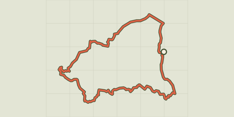 © OpenStreetMap, SRTM · OpenTopoMap (CC-BY-SA)
Saint Remy de Provence - From Saint Rémy to Les Baux
Provence-Alpes-Côte d'Azur, Saint-Rémy-de-Provence (13) · LoopOfficial rating by Parcs naturels régionaux de Provence-Alpes-Côte d'Azur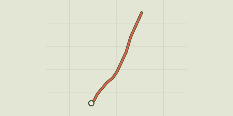 © OpenStreetMap, SRTM · OpenTopoMap (CC-BY-SA)
Saint Remy de Provence - À la rencontre des oiseaux de la Petite Crau
Provence-Alpes-Côte d'Azur, Saint-Rémy-de-Provence (13) · Out and backOfficial rating by Parcs naturels régionaux de Provence-Alpes-Côte d'Azur © OpenStreetMap, SRTM · OpenTopoMap (CC-BY-SA)
Les Baux de Provence - The Baumayrane ridges
Provence-Alpes-Côte d'Azur, Les Baux-de-Provence (13) · LoopOfficial rating by Parcs naturels régionaux de Provence-Alpes-Côte d'Azur © OpenStreetMap, SRTM · OpenTopoMap (CC-BY-SA)
Les Baux de Provence - Chemin des Trémaïé
Provence-Alpes-Côte d'Azur, Les Baux-de-Provence (13) · LoopOfficial rating by Parcs naturels régionaux de Provence-Alpes-Côte d'Azur