
Saint Remy de Provence - La Grosse Galine
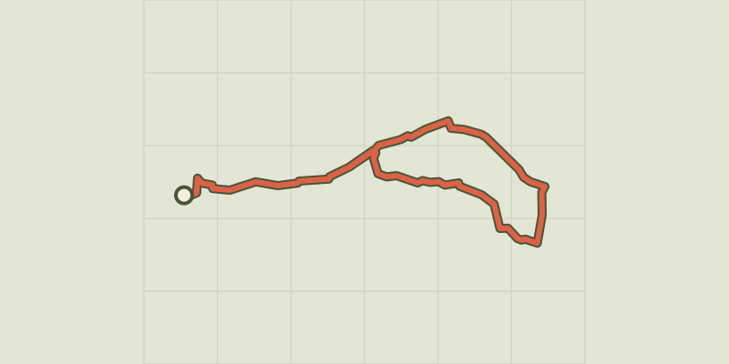
Key facts
- Distance
- 8.3 km
- Ascent
- +98 m
- Descent
- −52 m
- Estimated time
- 2 hr
- hiking
- Difficulty
- Easy
- official rating
- Route
- Loop
- back to the start
Profile and gradient
- under 10%
- 10 to 20%
- over 20%
Gradient along the route: 8.3 km under 10%. Elevation from 77 m to 116 m over 8.3 km.
Description
A breath of fresh air, in the shade of the oaks and pines! "A calming walk, two minutes away from the center of Saint-Rémy-de-Provence. I enjoy passing under the triumphal arch of the Antiques, before getting lost in the undergrowth present along the way, before finally regaining the ridge of the Alpilles enthroned above the vineyards." says Vincent Salaun, Ambassador of the Alpilles RNP. Go down slightly on St Rémy (Caution!) to turn right on the pine track leading to St Paul de Mausole. Continue left on the paved road "Chemin des Carrières". 1 Stay on your left at the crow's feet. 150m away, switch to the left path at the sight of a dead end sign. 300m further, cut across the GR6 path and continue on the GR653D path towards Eygalières. 2 - Continue straight until a fork. Turn right and leave behind to the left return route. Continue on 200m and after a clearing, turn left along the properties (follow the GR and RP markings) to a small road. 3 - Take a right for 600m. Go along a cypress hedge on your left, followed by a marked dirt road by the GR and RP. 4 - Turn left on the dirt road leading to a large perpendicular path. 5 - Take a left onto the large perpendicular path. Go down this path for 500m. 6 - After a large olive grove, turn left onto the path marked by the RP and leave behind to the right the path marked by the GR. 7 - After a vineyard on the right, come out on a road, the Voie Aurélia. Follow it to the left. 8 - Turn left 60m further and keep on the road until the next turn. Continue left on the dirt road which leads to a mas (Provençal farmhouse) that you can bypass by going up a small hillock. 400m further, reach the fork to get to and from the point already used on the opposite route.
Difficulty
Official rating: easy, by Parcs naturels régionaux de Provence-Alpes-Côte d'Azur.
Before you go
- For your safety and for the preservation of forests, access to natural areas is regulated from June to September. For more information during the summer, call 08 11 20 13 13 (cost of a local call) or go to www.bouches-du-rhone.pref.gouv.fr or download the free application MYPROVENCE ENVIE DE BALADE (available on Appstore and Android Market)
Getting there
Start: Parking des Antiques, Saint-Rémy-de-Provence, Saint-Rémy-de-Provence (13).
Sources
- Track: Parcs naturels régionaux de Provence-Alpes-Côte d'Azur (Chemins des Parcs), Licence Ouverte 2.0, Licence Ouverte 2.0 (Etalab) (www.cheminsdesparcs.fr/trek/52456-SAINT-REMY-DE-PROVENCE---La-grosse-Galine). Time estimated by GPX Path with the Mac app rule, breaks not included.
- Official elevation gain: 98 m, Parcs naturels régionaux de Provence-Alpes-Côte d'Azur
Nearby tracks

 © OpenStreetMap, SRTM · OpenTopoMap (CC-BY-SA)
Saint Remy de Provence - Between valley and plateau
Provence-Alpes-Côte d'Azur, Saint-Rémy-de-Provence (13) · Out and backOfficial rating by Parcs naturels régionaux de Provence-Alpes-Côte d'Azur © OpenStreetMap, SRTM · OpenTopoMap (CC-BY-SA)
Saint Remy de Provence - The Alpilles ridge
Provence-Alpes-Côte d'Azur, Saint-Rémy-de-Provence (13) · LoopOfficial rating by Parcs naturels régionaux de Provence-Alpes-Côte d'Azur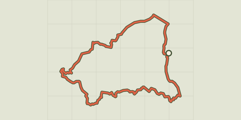 © OpenStreetMap, SRTM · OpenTopoMap (CC-BY-SA)
Saint Remy de Provence - From Saint Rémy to Les Baux
Provence-Alpes-Côte d'Azur, Saint-Rémy-de-Provence (13) · LoopOfficial rating by Parcs naturels régionaux de Provence-Alpes-Côte d'Azur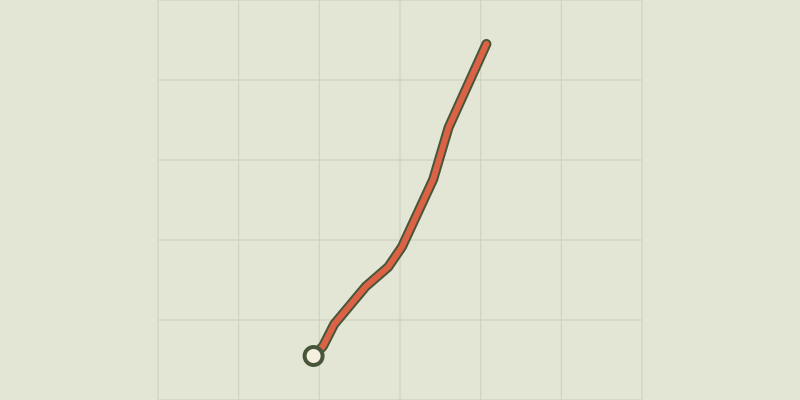 © OpenStreetMap, SRTM · OpenTopoMap (CC-BY-SA)
Saint Remy de Provence - À la rencontre des oiseaux de la Petite Crau
Provence-Alpes-Côte d'Azur, Saint-Rémy-de-Provence (13) · Out and backOfficial rating by Parcs naturels régionaux de Provence-Alpes-Côte d'Azur © OpenStreetMap, SRTM · OpenTopoMap (CC-BY-SA)
Les Baux de Provence - The Baumayrane ridges
Provence-Alpes-Côte d'Azur, Les Baux-de-Provence (13) · LoopOfficial rating by Parcs naturels régionaux de Provence-Alpes-Côte d'Azur © OpenStreetMap, SRTM · OpenTopoMap (CC-BY-SA)
Les Baux de Provence - Chemin des Trémaïé
Provence-Alpes-Côte d'Azur, Les Baux-de-Provence (13) · LoopOfficial rating by Parcs naturels régionaux de Provence-Alpes-Côte d'Azur