
Saint Remy de Provence - The Alpilles ridge

Key facts
- Distance
- 16.5 km
- Ascent
- +466 m
- Descent
- −386 m
- Estimated time
- 4 hr 30
- hiking
- Difficulty
- Difficult
- official rating
- Route
- Loop
- back to the start
Profile and gradient
- under 10%
- 10 to 20%
- over 20%
Gradient along the route: 14.8 km under 10%, 1.2 km at 10 to 20% and 0.4 km over 20%. Elevation from 91 m to 390 m over 16.5 km.
Description
Take full view, during this sensational circuit that will take you to discover the Alpilles in all their facets! "A really nice hike, which offers us beautiful and varied views of the interior of the Alpilles, as well as the Avignon and Crau lowlands. I really liked some passages of a surprising beauty, like the vaults of green oaks, a gentle slope between rock faces and of course the ridge of the Alpilles. In any case, thrills guaranteed! "Clement Surun, Alpilles RNP. The burial works of the High Voltage line of the Caume, Saint-Rémy-de-Provence will take place between 18/09/2017 and 22/12/2017, down from the telecommunication relay to the Plaines car park. Diversion routes will be set up except for the portion between Vallon de Valrugues and the plateau, on the route of Gr6, which will be completely closed for a few weeks. Consult the map of the works on the Park's website for more details. From the Antiques car park, along the D5 towards Saint-Rémy-de-Provence, and turn right to join the Cloister of Saint Paul Mausole, at the end of the path lined with plane trees. 1- Facing the Cloister, follow the road on the right to bypass it. At the Relais Information Service panel of the Alpilles Regional Nature Park, take Chemin des Carrières on the right. Follow the marked path PR (in yellow), which crosses valley and forest. 2- At the crossroads with the small paved road, follow it to the left. Continue on the road to the telecommunication tower of the Caume plateau. At the tower, turn left towards GR®6. After the sign of "Biotope", follow the ridge line to the right by a series of rocky steps. 3- After 2 km, turn to the right following the GR®6 and join the foot of the peaks. Continue between rocky passages and undergrowth to the Vallongue pass and its rocky gorge. Go down to the left to a road near the airfield (some passages require the hands). 4- Take the path on the left. From this point the circuit will be double marked PR (yellow) and GR® (red / white) until arrival. Continue for 3 km, remaining attentive to the marking, until a junction of marked paths and a property lined with walls. 5- Turn left and walk 500 m. Take a track on the right and then a small asphalt road. At the hairpin bend, turn left onto the path lined with properties. 6- At the fork stay on the right, further pass a barrier then continue to a stone cottage. After the shed, turn left. Cut the path where the GR®6 passes, go up between two wooden barriers and continue to the right on the path that joins the starting point.
Difficulty
Official rating: difficult, by Parcs naturels régionaux de Provence-Alpes-Côte d'Azur.
Before you go
- For your safety, and for the preservation of forest areas, access to natural areas is regulated from June to September. Inquire during the summer period on 08 11 20 13 13 (price of a local call) or on www.bouches-du-rhone.pref.gouv.fr Download the application for free MYPROVENCE ENVIE DE BALADE (available on Appstore and Android Market).
Getting there
Start: Parking des Antiques, Saint-Rémy-de-Provence, Saint-Rémy-de-Provence (13).
Sources
- Track: Parcs naturels régionaux de Provence-Alpes-Côte d'Azur (Chemins des Parcs), Licence Ouverte 2.0, Licence Ouverte 2.0 (Etalab) (www.cheminsdesparcs.fr/trek/52460-SAINT-REMY-DE-PROVENCE---La-crete-des-Alpilles). Time estimated by GPX Path with the Mac app rule, breaks not included.
- Official elevation gain: 466 m, Parcs naturels régionaux de Provence-Alpes-Côte d'Azur
Nearby tracks

 © OpenStreetMap, SRTM · OpenTopoMap (CC-BY-SA)
Saint Remy de Provence - Between valley and plateau
Provence-Alpes-Côte d'Azur, Saint-Rémy-de-Provence (13) · Out and backOfficial rating by Parcs naturels régionaux de Provence-Alpes-Côte d'Azur © OpenStreetMap, SRTM · OpenTopoMap (CC-BY-SA)
Saint Remy de Provence - La Grosse Galine
Provence-Alpes-Côte d'Azur, Saint-Rémy-de-Provence (13) · LoopOfficial rating by Parcs naturels régionaux de Provence-Alpes-Côte d'Azur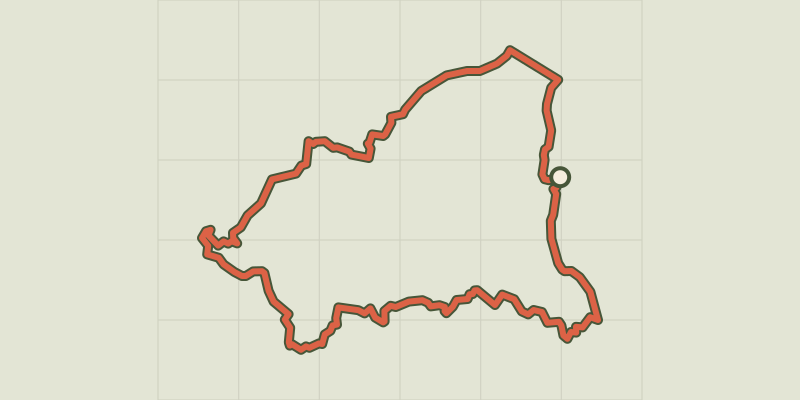 © OpenStreetMap, SRTM · OpenTopoMap (CC-BY-SA)
Saint Remy de Provence - From Saint Rémy to Les Baux
Provence-Alpes-Côte d'Azur, Saint-Rémy-de-Provence (13) · LoopOfficial rating by Parcs naturels régionaux de Provence-Alpes-Côte d'Azur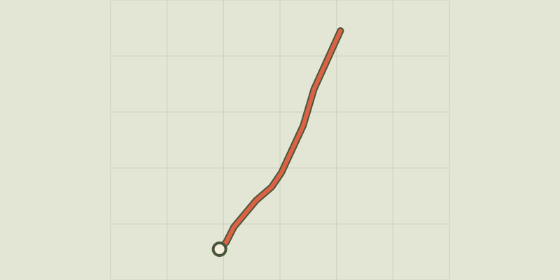 © OpenStreetMap, SRTM · OpenTopoMap (CC-BY-SA)
Saint Remy de Provence - À la rencontre des oiseaux de la Petite Crau
Provence-Alpes-Côte d'Azur, Saint-Rémy-de-Provence (13) · Out and backOfficial rating by Parcs naturels régionaux de Provence-Alpes-Côte d'Azur © OpenStreetMap, SRTM · OpenTopoMap (CC-BY-SA)
Les Baux de Provence - The Baumayrane ridges
Provence-Alpes-Côte d'Azur, Les Baux-de-Provence (13) · LoopOfficial rating by Parcs naturels régionaux de Provence-Alpes-Côte d'Azur © OpenStreetMap, SRTM · OpenTopoMap (CC-BY-SA)
Les Baux de Provence - Chemin des Trémaïé
Provence-Alpes-Côte d'Azur, Les Baux-de-Provence (13) · LoopOfficial rating by Parcs naturels régionaux de Provence-Alpes-Côte d'Azur