
Carlit lakes loop (9 lakes)

Key facts
- Distance
- 6.3 km
- Ascent
- +227 m
- Descent
- −222 m
- Estimated time
- 1 hr 55
- hiking
- Difficulty
- Moderate to hard
- official rating
- Route
- Loop
- back to the start
Official time: 2 hr 20
Profile and gradient
- under 10%
- 10 to 20%
- over 20%
Gradient along the route: 4.4 km under 10% and 1.9 km at 10 to 20%. Elevation from 2,032 m to 2,241 m over 6.3 km.

Description
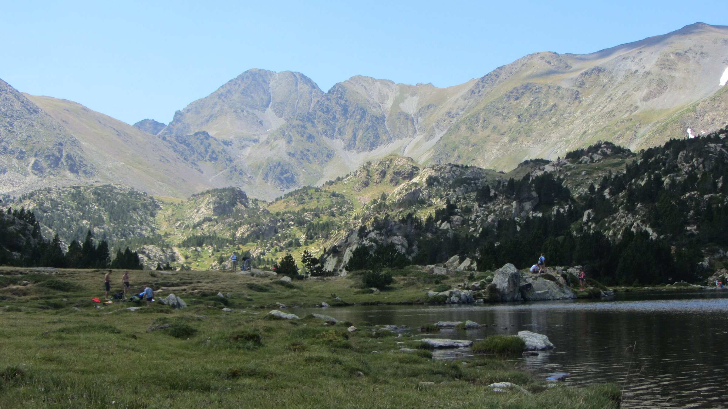
Starting from the Bouillouses dam, by the Bones Hores hotel, this yellow-waymarked loop takes in the lakes of the Carlit massif, whose summit (2,921 m) is the highest in the Pyrénées-Orientales. The département describes two versions, with 9 or 12 lakes: our track follows the 9-lake version as it is mapped in OpenStreetMap. It runs past the Estany del Viver, Estany Sec, Estany de la Comassa, the Estanys de les Dugues and the Estany de Vallell. The effort is mostly in the first half hour, on rough ground; after that the path rolls from one lake to the next. Our track measures 6.3 km with 227 m of ascent, and the département's sheet gives 6.5 km, 227 m and 2 hr 20. In July and August the lake road is restricted: park at Pla de Barrès and take the shuttle, or ride the Font-Romeu chairlift and walk about 30 minutes. This is a protected site: dogs on a lead, no fires, and bivouac only between 7 pm and 9 am.
Difficulty
Official rating: moderate to hard, by Département des Pyrénées-Orientales (brochure des Bouillouses).
Before you go
- The first half hour is on rough, rocky ground.
- Protected site: dogs on a lead, no fires, no camping, overnight bivouac allowed from 7 pm to 9 am.
- No camper vans on the site; no parking at the dam car parks from 9 pm to 7 am.
Getting there
Start: Bouillouses dam, by the Bones Hores hotel, Font-Romeu-Odeillo-Via (66).
By car: D60 from Mont-Louis to the Pla de Barrès car park. In July and August, shuttle from Pla de Barrès to the dam; the rest of the year, road to the dam.
By public transport: Summer shuttle from Pla de Barrès, or the chairlift from La Calme (Font-Romeu) then about 30 minutes on foot to the dam.
Season
Snow-free months, summer and early autumn. In July and August the lake road is restricted: shuttle from the Pla de Barrès car park, or the Font-Romeu chairlift.
Sources
- Track: © OpenStreetMap contributors, ODbL 1.0 (www.openstreetmap.org/copyright). Time estimated by GPX Path with the Mac app rule, breaks not included.
- Official time: 2 hr 20, ledepartement66.fr
- Official elevation gain: 227 m, Département des Pyrénées-Orientales
- Les Bouillouses, un site exceptionnel et fragile (brochure, variantes 9 et 12 lacs)Département des Pyrénées-Orientales, accessed 27 October 2026
- Site classé des Bouillouses (accès réglementé, navette, télésiège)CRT Occitanie, accessed 27 October 2026
- Boucle des étangs du Carlit (variante 9 lacs), relation 3330788OpenStreetMap, accessed 27 October 2026
Nearby tracks
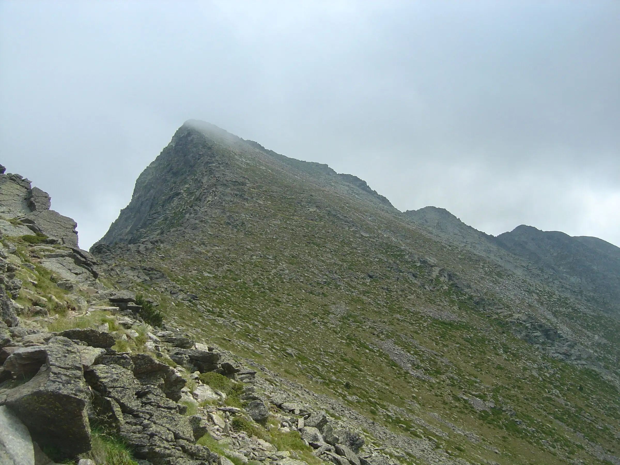

Pic du Canigou via the Cortalets
Pyrenees, Villerach (accès), sommet sur Vernet-les-Bains et Casteil (66) · Out and backOfficial rating by Office de tourisme Conflent Canigó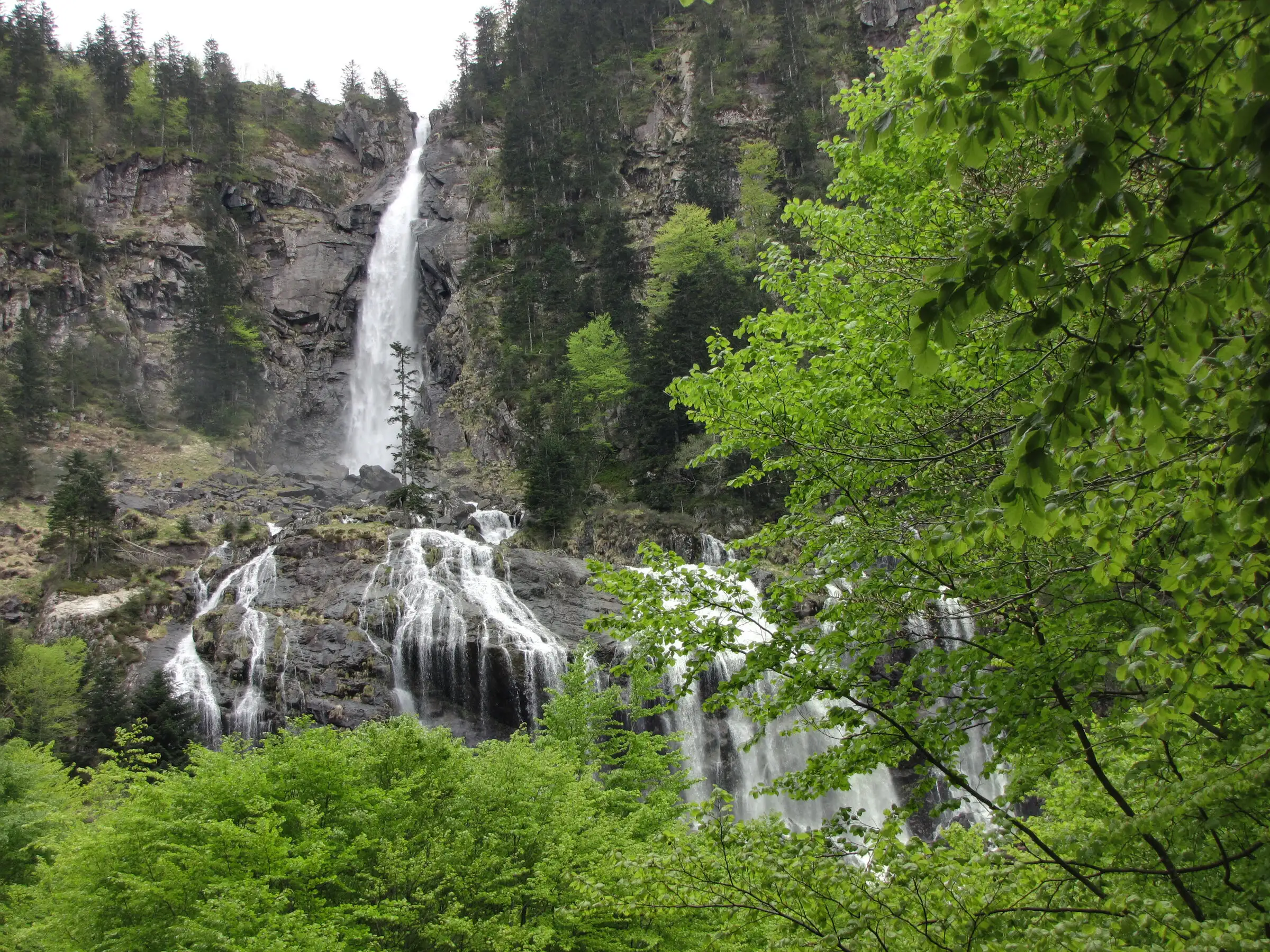
Cascade d'Ars from Aulus-les-Bains
Pyrenees, Aulus-les-Bains (09) · Out and backOfficial rating by CRT Occitanie (seule fiche randonnée officielle trouvée ; la fiche de l'office du Couserans est une fiche trail sans cotation)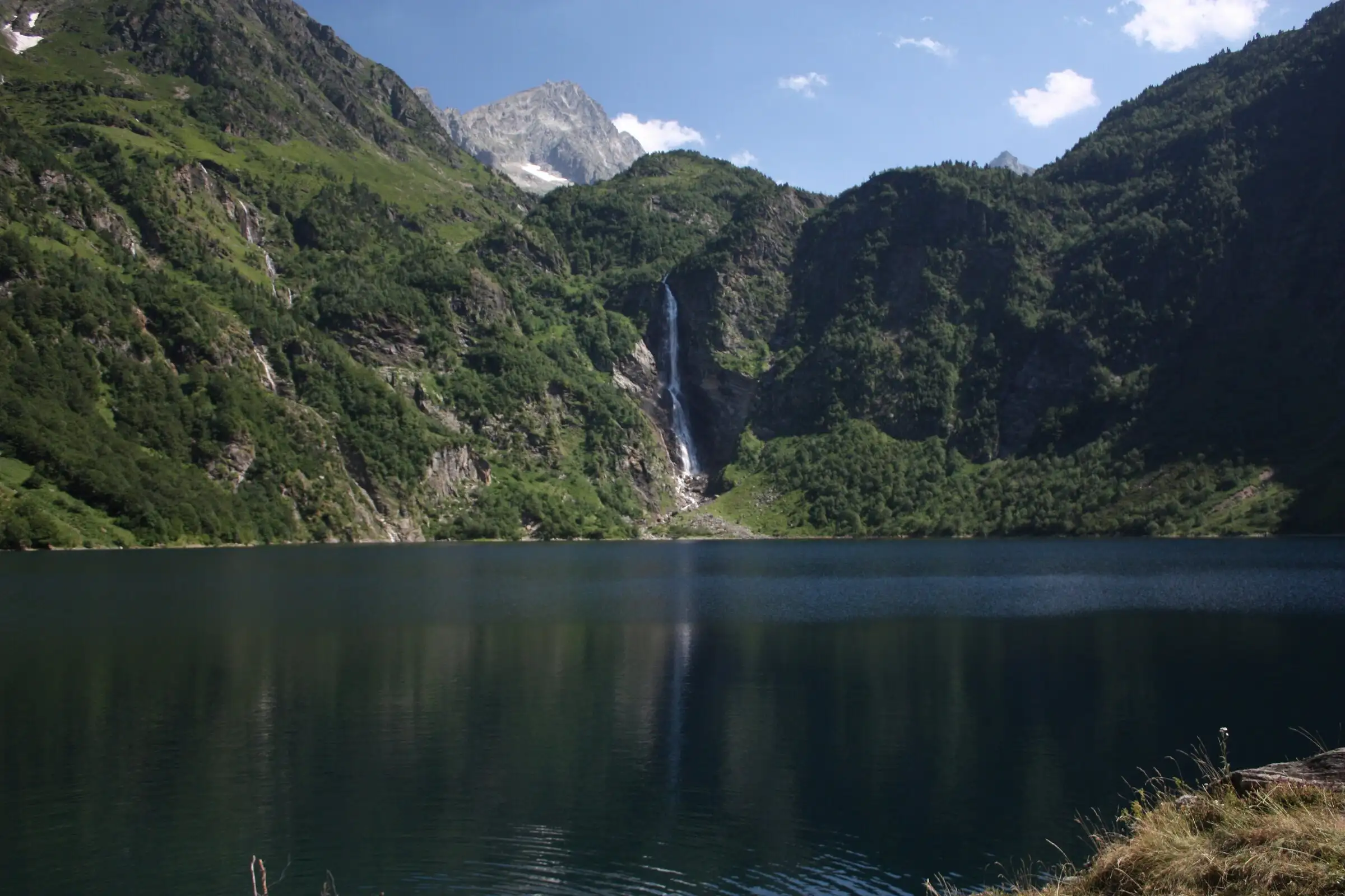
Lac d'Oô from Granges d'Astau
Pyrenees, Oô (31) · Out and backOfficial rating by Haute-Garonne Tourisme (fiche 41, le lac d'Oô)
Néouvielle lakes via the Col d'Estoudou
Pyrenees, Saint-Lary-Soulan / Aragnouet (65) · LoopOfficial rating by Office de tourisme de Piau-Engaly (fiche Geotrek Hautes-Pyrénées)
Cirque de Gavarnie via the Espugues ledge path
Pyrenees, Gavarnie-Gèdre (65) · LoopOfficial rating by Vallées de Gavarnie (fiche Geotrek de la CC Pyrénées Vallées des Gaves)
Brèche de Roland from the Col des Tentes
Pyrenees, Gavarnie-Gèdre (65) · Out and backOfficial rating by Vallées de Gavarnie (fiche Geotrek de la CC Pyrénées Vallées des Gaves)