
Pic du Canigou via the Cortalets
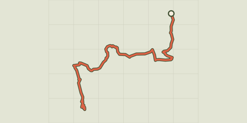
Key facts
- Distance
- 19.2 km
- Ascent
- +1,440 m
- Descent
- −1,398 m
- Estimated time
- 8 hr 10
- hiking
- Difficulty
- Hard
- official rating
- Route
- Out and back
- same way back
Official time: 8 hr 30
Profile and gradient
- under 10%
- 10 to 20%
- over 20%
Gradient along the route: 4.8 km under 10%, 12.5 km at 10 to 20% and 1.9 km over 20%. Elevation from 1,383 m to 2,776 m over 19.2 km.

Description
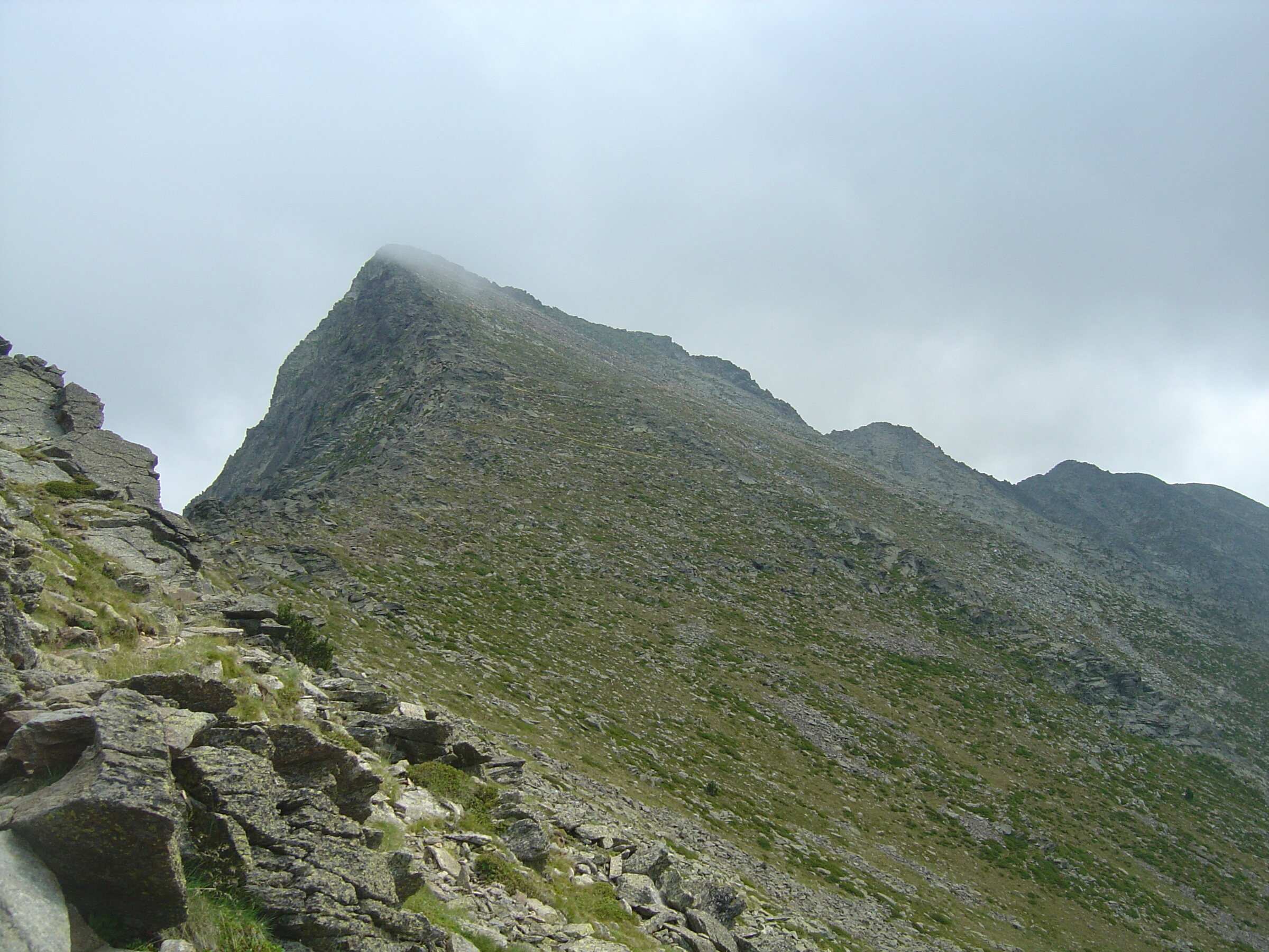
Canigou (2,784 m) is the easternmost high peak of the Pyrenees; from its viewpoint table you look along the range, over the coastal plains and out to the Mediterranean. Our track follows the Conflent Canigó tourist office route from the Esquena d'Ase car park (1,380 m), on the Llec track above Villerach. The path passes the Prat Cabrera hut, climbs through forest to the Ras dels Cortalets (2,050 m), then reaches the Cortalets refuge (2,150 m). You then leave the white and red waymarks for a yellow-marked path past the Font de la Perdiu and Pic Joffre to La Portella, a small notch at about 2,600 m, from where zigzags through the boulders lead to the summit. You return the same way. Our track measures 19.2 km with 1,400 m of ascent; the tourist office gives 19 km, 1,440 m and 8 hr 30. The Llec track is usually closed to vehicles from October to May. Works are announced at the Cortalets refuge from 2026 to 2028, so check that it is open before you set off.
Difficulty
Official rating: hard, by Office de tourisme Conflent Canigó.
Before you go
- The Llec track is usually closed to vehicles from October to May, and sometimes after heavy rain.
- Works are announced at the Cortalets hut from 2026 to 2028: check it is open before relying on it.
- The final zigzag climb through boulders, above 2,600 m, is exposed to wind and storms.
- Do not confuse this with the route from Mariailles via the chimney: since 2023 that passage is no longer waymarked and the tourist office cannot vouch for it (notice relayed by Visorando).
Getting there
Start: Esquena d'Ase car park (1,380 m), on the Llec track above Villerach, Villerach (accès), sommet sur Vernet-les-Bains et Casteil (66).
By car: From Villerach, south-east of Prades: mostly unsurfaced track to the Col del Forn, then the Llec track for about 8 km. The track may not suit low cars and closes after heavy rain.
By public transport: No public transport to the start.
Season
Snow-free months, when the Llec track is open: it is usually closed to vehicles from October to May.
Sources
- Track: © OpenStreetMap contributors, ODbL 1.0 (www.openstreetmap.org/copyright). Time estimated by GPX Path with the Mac app rule, breaks not included.
- Official time: 8 hr 30, walks-vernetlesbains-canigou.eu
- Official elevation gain: 1,440 m, Office de tourisme Conflent Canigó (fiche traduite, 2019)
- Parking de l'Esquena d'Ase (au-dessus de Villerach) : Pic du CanigóOffice de tourisme Conflent Canigó (fiche traduite, 2019), accessed 27 October 2026
- Refuge des Cortalets : travaux annoncés 2026 à 2028Visorando (relais d'information, à confirmer auprès de l'office), accessed 27 October 2026
Nearby tracks
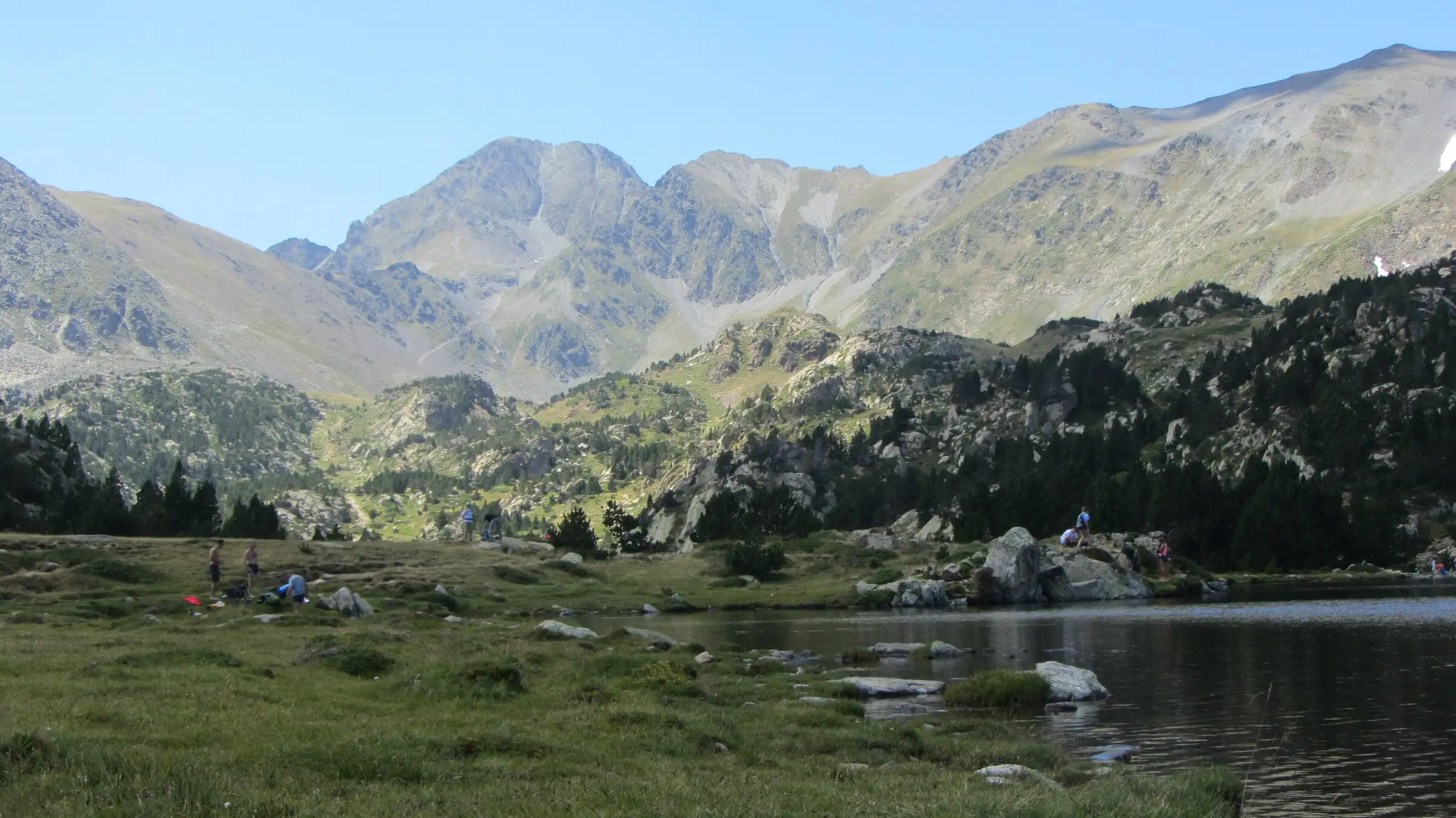

Carlit lakes loop (9 lakes)
Pyrenees, Font-Romeu-Odeillo-Via (66) · LoopOfficial rating by Département des Pyrénées-Orientales (brochure des Bouillouses)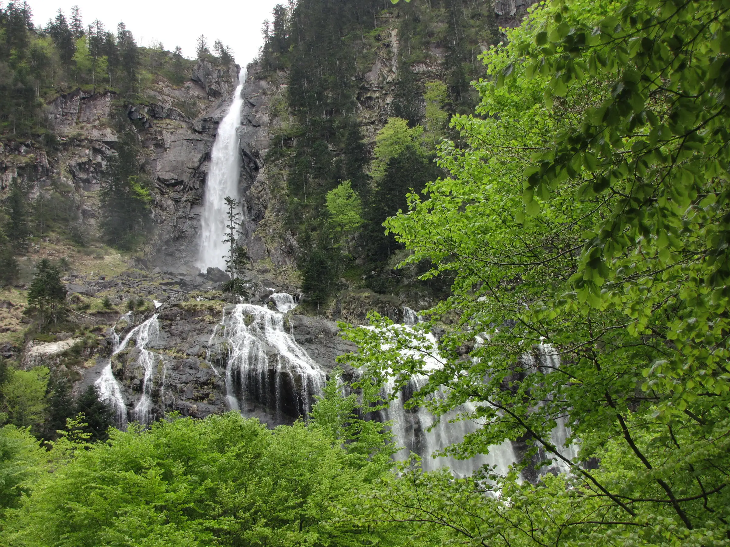
Cascade d'Ars from Aulus-les-Bains
Pyrenees, Aulus-les-Bains (09) · Out and backOfficial rating by CRT Occitanie (seule fiche randonnée officielle trouvée ; la fiche de l'office du Couserans est une fiche trail sans cotation)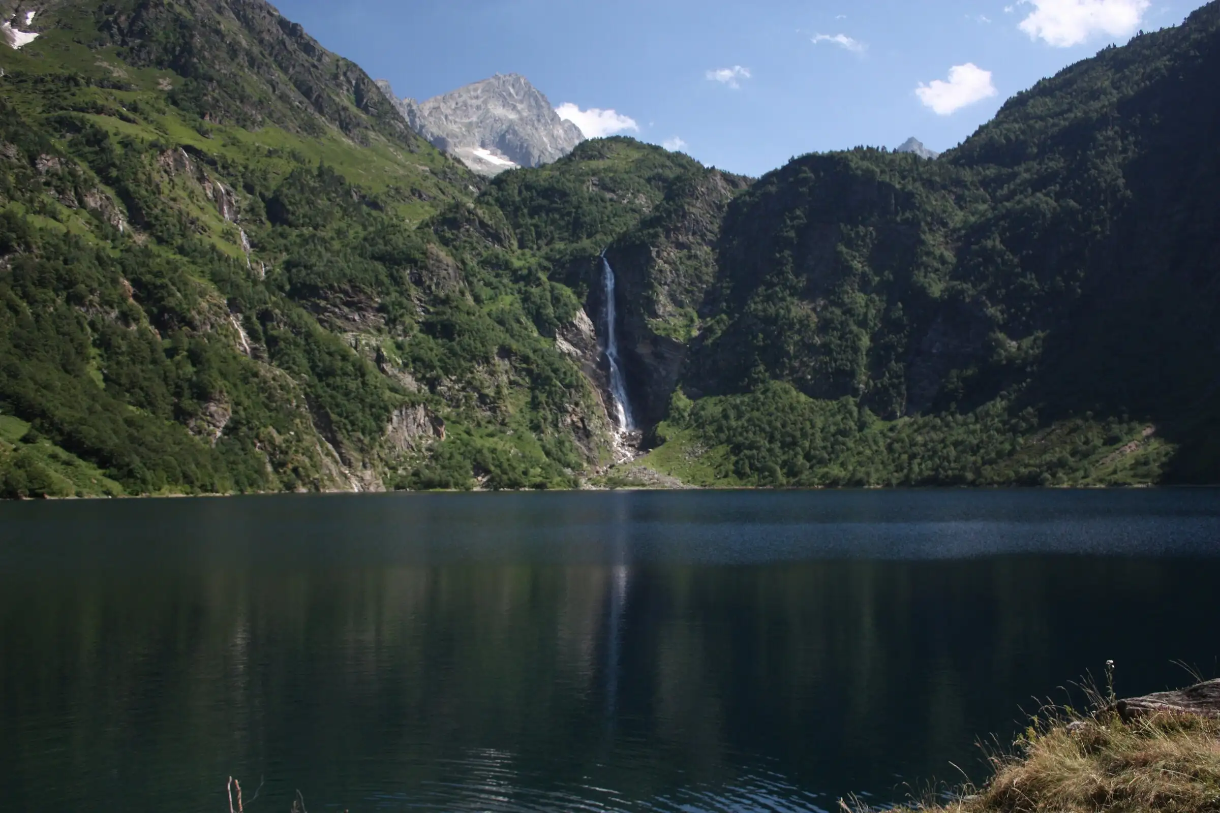
Lac d'Oô from Granges d'Astau
Pyrenees, Oô (31) · Out and backOfficial rating by Haute-Garonne Tourisme (fiche 41, le lac d'Oô)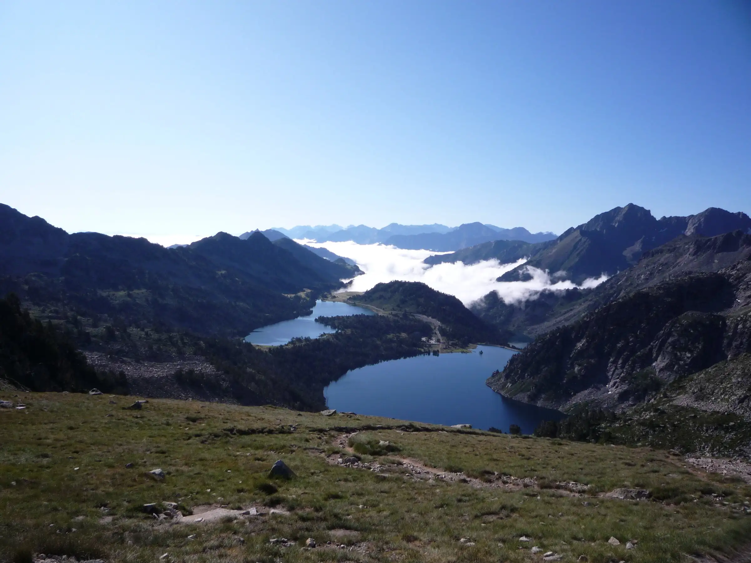
Néouvielle lakes via the Col d'Estoudou
Pyrenees, Saint-Lary-Soulan / Aragnouet (65) · LoopOfficial rating by Office de tourisme de Piau-Engaly (fiche Geotrek Hautes-Pyrénées)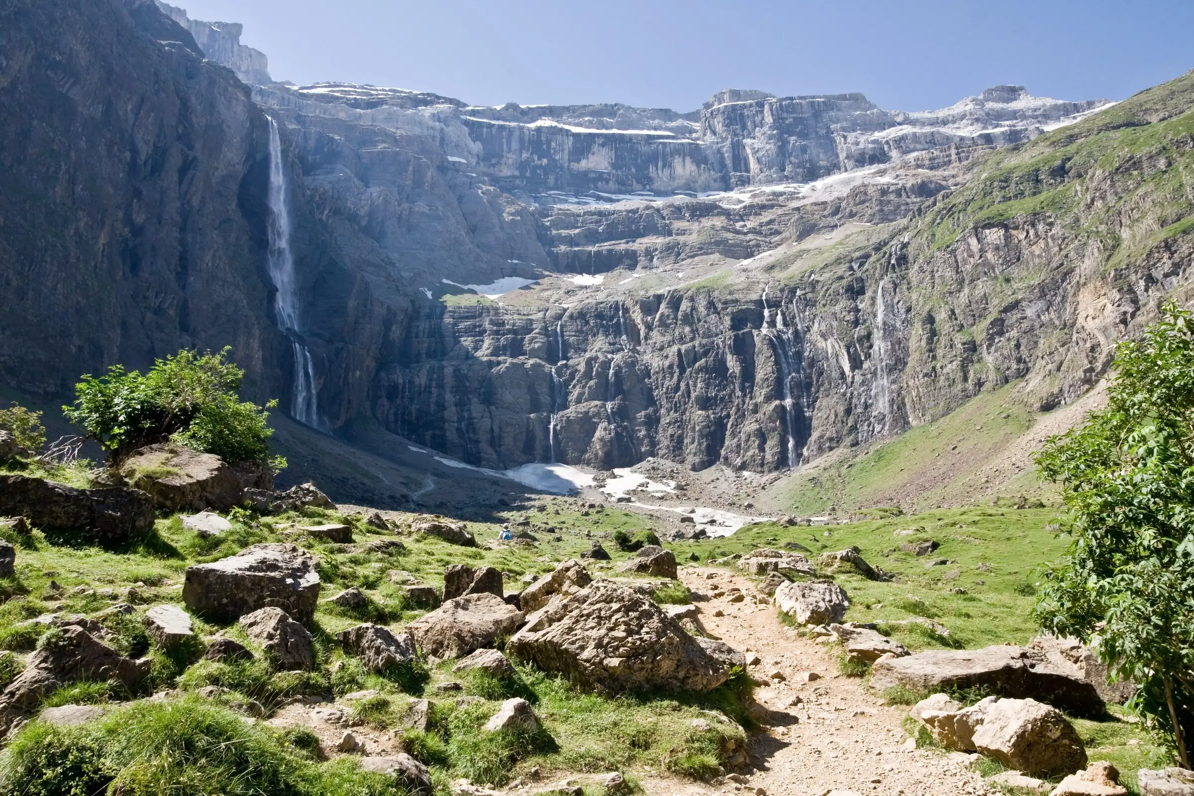
Cirque de Gavarnie via the Espugues ledge path
Pyrenees, Gavarnie-Gèdre (65) · LoopOfficial rating by Vallées de Gavarnie (fiche Geotrek de la CC Pyrénées Vallées des Gaves)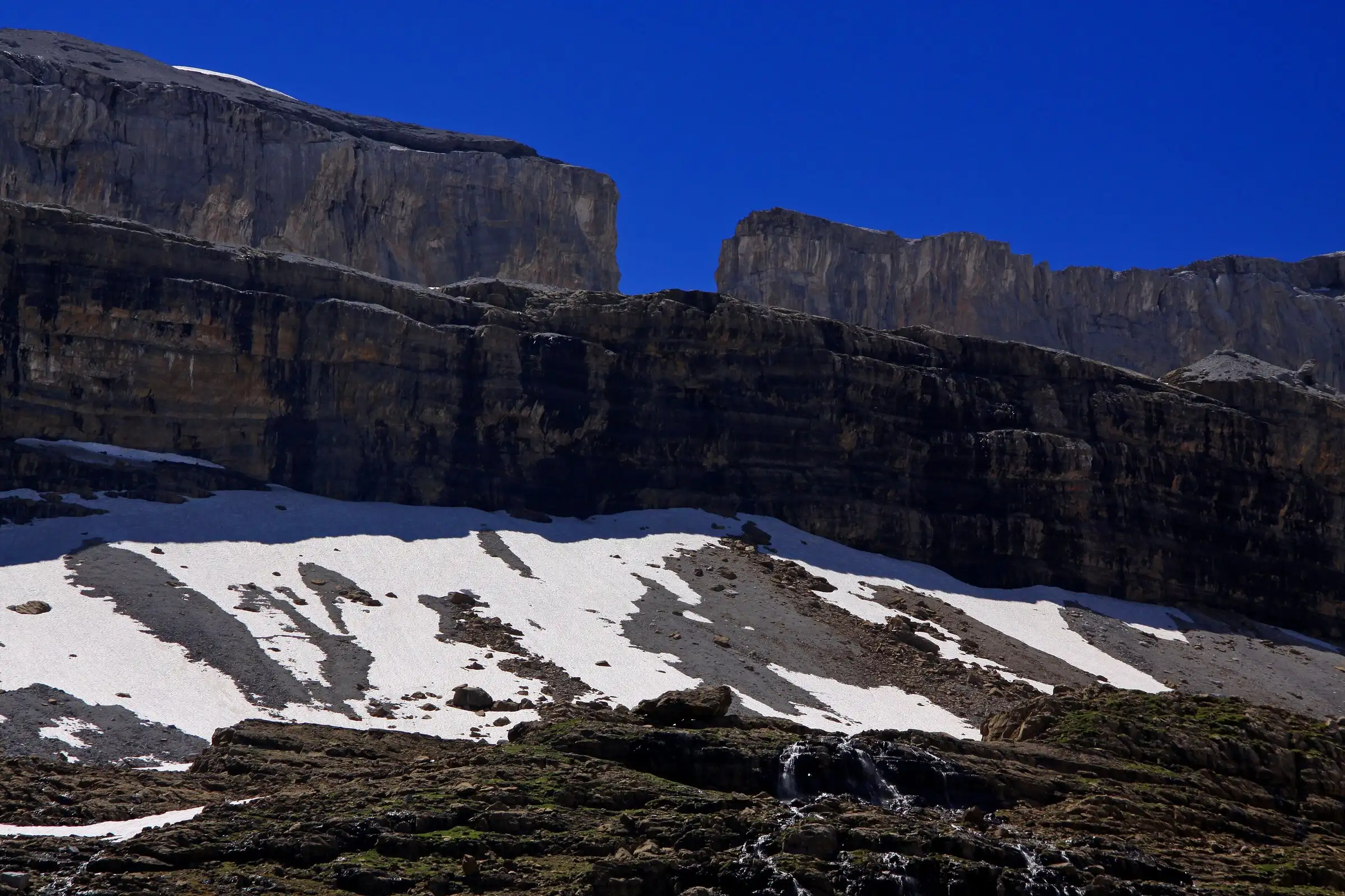
Brèche de Roland from the Col des Tentes
Pyrenees, Gavarnie-Gèdre (65) · Out and backOfficial rating by Vallées de Gavarnie (fiche Geotrek de la CC Pyrénées Vallées des Gaves)