
Hiking GPX tracks in Provence-Alpes-Côte d'Azur (page 30)
743 GPX tracks in Provence-Alpes-Côte d'Azur, with distance, elevation gain and time for each track. Filter by department, sport, distance, elevation gain and time.
All GPX tracks in Provence-Alpes-Côte d'Azur
 © OpenStreetMap, SRTM · OpenTopoMap (CC-BY-SA)
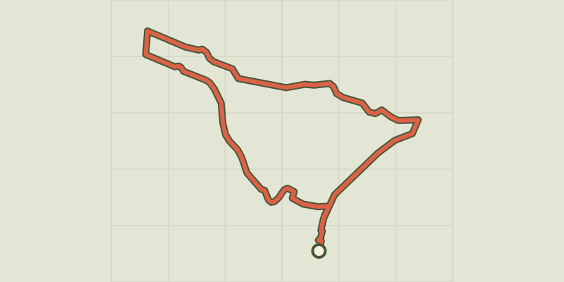
ST-TRINIT, Les chênes séculaires des bois de la Caviote
Mont Ventoux, Saint-Trinit (84) · LoopOfficial rating by Parcs naturels régionaux de Provence-Alpes-Côte d'Azur © OpenStreetMap, SRTM · OpenTopoMap (CC-BY-SA)
Saint-Michel de Frigolet Abbey
Provence-Alpes-Côte d'Azur, Tarascon (13) · LoopOfficial rating by Parcs naturels régionaux de Provence-Alpes-Côte d'Azur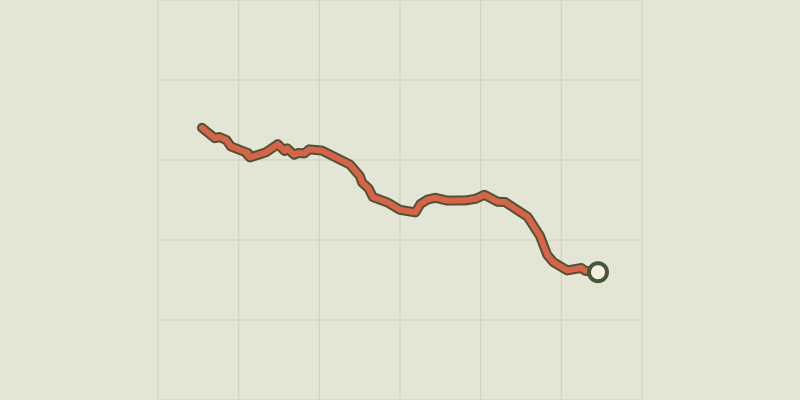 © OpenStreetMap, SRTM · OpenTopoMap (CC-BY-SA)
La Tête de Vautisse
Écrins, Réotier (05) · Out and backOfficial rating by Parc national des Écrins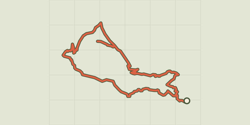 © OpenStreetMap, SRTM · OpenTopoMap (CC-BY-SA)
Toudon - Cime des Collettes
Provence-Alpes-Côte d'Azur, Toudon (06) · LoopOfficial rating by Parcs naturels régionaux de Provence-Alpes-Côte d'Azur © OpenStreetMap, SRTM · OpenTopoMap (CC-BY-SA)
Tour d’Emparis par la Buffe
Écrins, La Grave (05) · LoopOfficial rating by Parc national des Écrins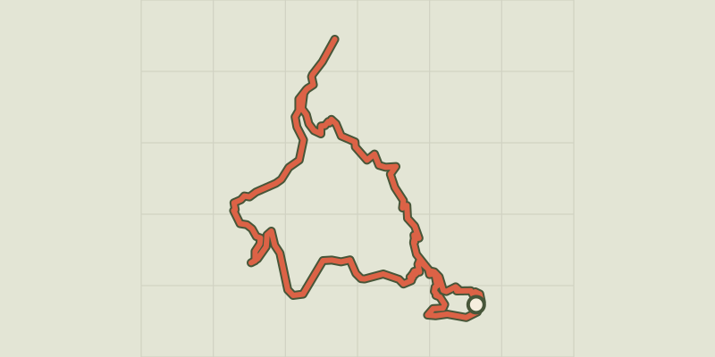 © OpenStreetMap, SRTM · OpenTopoMap (CC-BY-SA)
Tour from La Grave to the Plateau d'Emperis via the Pic du Mas de la Grave
Écrins, La Grave (05) · Point to pointOfficial rating by Parc national des Écrins © OpenStreetMap, SRTM · OpenTopoMap (CC-BY-SA)
Les Aiguilles de Chabrières
Écrins, Réallon (05) · LoopOfficial rating by Parc national des Écrins © OpenStreetMap, SRTM · OpenTopoMap (CC-BY-SA)
Tour des Cerces
Provence-Alpes-Côte d'Azur, Névache (05) · LoopOfficial rating by Parc national des Écrins © OpenStreetMap, SRTM · OpenTopoMap (CC-BY-SA)
Tour des Forts de Briançon depuis La Vachette
Provence-Alpes-Côte d'Azur, Val-des-Prés (05) · LoopOfficial rating by Parc national des Écrins © OpenStreetMap, SRTM · OpenTopoMap (CC-BY-SA)
Tour des refuges en Valgaudemar en 4 jours
Écrins, La Chapelle-en-Valgaudémar (05) · Point to pointOfficial rating by Parc national des Écrins © OpenStreetMap, SRTM · OpenTopoMap (CC-BY-SA)
Valgaudemar refuges
Écrins, Villar-Loubière (05) · Point to pointOfficial rating by Parc national des Écrins © OpenStreetMap, SRTM · OpenTopoMap (CC-BY-SA)
Tour des refuges en Vallouise en 4 jours
Écrins, Vallouise-Pelvoux (05) · Point to pointOfficial rating by Parc national des Écrins © OpenStreetMap, SRTM · OpenTopoMap (CC-BY-SA)
Tour des refuges en Vallouise en 5 jours
Écrins, Vallouise-Pelvoux (05) · Point to pointOfficial rating by Parc national des Écrins © OpenStreetMap, SRTM · OpenTopoMap (CC-BY-SA)
Tour of the Combeynot Peaks in three days
Écrins, Le Monêtier-les-Bains (05) · Point to pointOfficial rating by Parc national des Écrins © OpenStreetMap, SRTM · OpenTopoMap (CC-BY-SA)
4-day Tour du Combeynot
Écrins, Le Monêtier-les-Bains (05) · Point to pointOfficial rating by Parc national des Écrins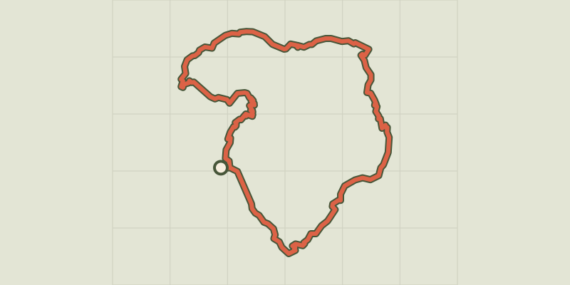 © OpenStreetMap, SRTM · OpenTopoMap (CC-BY-SA)
Tour du Grand Pinier
Écrins, Orcières (05) · Point to pointOfficial rating by Parc national des Écrins © OpenStreetMap, SRTM · OpenTopoMap (CC-BY-SA)
Tour of the Pays des Ecrins in 3 days
Écrins, L'Argentière-la-Bessée (05) · Point to pointOfficial rating by Parc national des Écrins © OpenStreetMap, SRTM · OpenTopoMap (CC-BY-SA)
Tour of the Pays des Ecrins in 6 days
Écrins, L'Argentière-la-Bessée (05) · Point to pointOfficial rating by Parc national des Écrins © OpenStreetMap, SRTM · OpenTopoMap (CC-BY-SA)
Tour du Pays des Ecrins en 7 jours
Écrins, L'Argentière-la-Bessée (05) · Point to pointOfficial rating by Parc national des Écrins © OpenStreetMap, SRTM · OpenTopoMap (CC-BY-SA)
Tour du Signal de La Grave, du Pic du Mas de la Grave au Goléon
Écrins, La Grave (05) · Point to pointOfficial rating by Parc national des Écrins © OpenStreetMap, SRTM · OpenTopoMap (CC-BY-SA)
Tour du Vieux Chaillol in 5 days
Écrins, Saint-Jacques-en-Valgodemard (05) · Point to pointOfficial rating by Parc national des Écrins © OpenStreetMap, SRTM · OpenTopoMap (CC-BY-SA)
Tour du Vieux Chaillol par le Tourond en 6 jours
Écrins, Saint-Jacques-en-Valgodemard (05) · Point to pointOfficial rating by Parc national des Écrins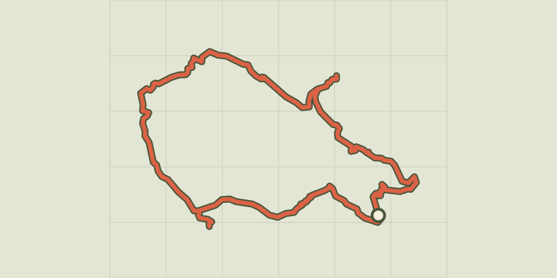 © OpenStreetMap, SRTM · OpenTopoMap (CC-BY-SA)
Tour entre Cerces et Ecrins (sans voiture)
Écrins, Le Monêtier-les-Bains (05) · LoopOfficial rating by Parc national des Écrins © OpenStreetMap, SRTM · OpenTopoMap (CC-BY-SA)
6-day tour between Écrins and Clarée
Écrins, Le Monêtier-les-Bains (05) · Point to pointOfficial rating by Parc national des Écrins