
GPX tracks in Provence-Alpes-Côte d'Azur (page 2)
1,053 GPX tracks in Provence-Alpes-Côte d'Azur, with distance, elevation gain and time for each track. Filter by department, sport, distance, elevation gain and time.
All GPX tracks in Provence-Alpes-Côte d'Azur
 © OpenStreetMap, SRTM · OpenTopoMap (CC-BY-SA)
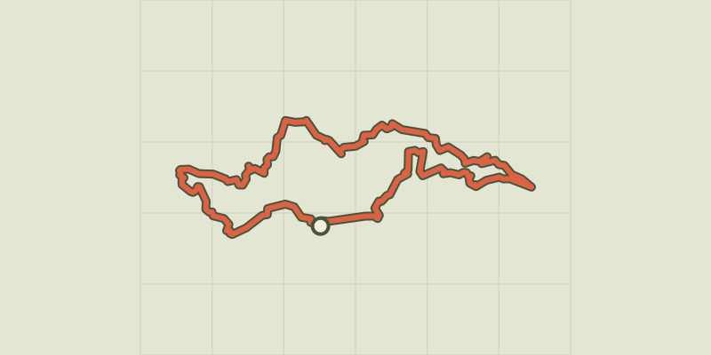
Apt - Tour des ocres du Luberon en 4 jours
Luberon, Apt (84) · Point to pointOfficial rating by Parcs naturels régionaux de Provence-Alpes-Côte d'Azur
 © OpenStreetMap, SRTM · OpenTopoMap (CC-BY-SA)
Discovering Vaccarès by bike
Provence-Alpes-Côte d'Azur, Arles (13) · LoopOfficial rating by Parcs naturels régionaux de Provence-Alpes-Côte d'Azur © OpenStreetMap, SRTM · OpenTopoMap (CC-BY-SA)
Walk in the heart of the Verdier marshes
Provence-Alpes-Côte d'Azur, Arles (13) · LoopOfficial rating by Parcs naturels régionaux de Provence-Alpes-Côte d'Azur © OpenStreetMap, SRTM · OpenTopoMap (CC-BY-SA)
Rice bike ride and Camargue horses
Provence-Alpes-Côte d'Azur, Arles (13) · LoopOfficial rating by Parcs naturels régionaux de Provence-Alpes-Côte d'Azur © OpenStreetMap, SRTM · OpenTopoMap (CC-BY-SA)
Cycling from Crau to the Vigueirat marshes.
Provence-Alpes-Côte d'Azur, Arles (13) · LoopOfficial rating by Parcs naturels régionaux de Provence-Alpes-Côte d'Azur © OpenStreetMap, SRTM · OpenTopoMap (CC-BY-SA)
The Petit-Rhône dike
Provence-Alpes-Côte d'Azur, Arles (13) · Out and backOfficial rating by Parcs naturels régionaux de Provence-Alpes-Côte d'Azur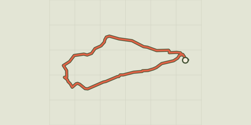 © OpenStreetMap, SRTM · OpenTopoMap (CC-BY-SA)
The bulls and the vine bath by bike
Provence-Alpes-Côte d'Azur, Arles (13) · LoopOfficial rating by Parcs naturels régionaux de Provence-Alpes-Côte d'Azur © OpenStreetMap, SRTM · OpenTopoMap (CC-BY-SA)
Cycling along the ViaRhôna
Provence-Alpes-Côte d'Azur, Arles (13) · Point to pointOfficial rating by Parcs naturels régionaux de Provence-Alpes-Côte d'Azur © OpenStreetMap, SRTM · OpenTopoMap (CC-BY-SA)
The Albaron marsh in Saliers by bike
Provence-Alpes-Côte d'Azur, Arles (13) · LoopOfficial rating by Parcs naturels régionaux de Provence-Alpes-Côte d'Azur © OpenStreetMap, SRTM · OpenTopoMap (CC-BY-SA)
Between rice fields and reed beds on the Pont de Rousty trail
Provence-Alpes-Côte d'Azur, Arles (13) · LoopOfficial rating by Parcs naturels régionaux de Provence-Alpes-Côte d'Azur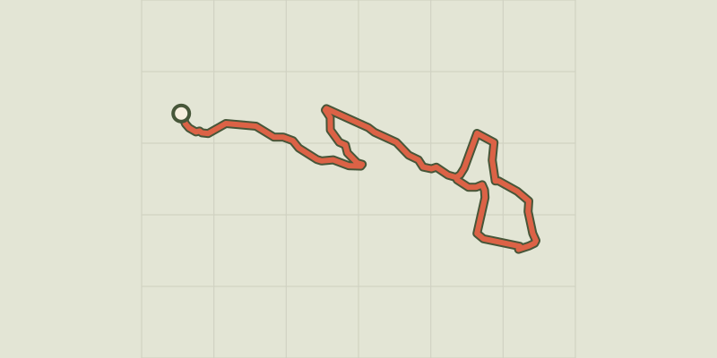 © OpenStreetMap, SRTM · OpenTopoMap (CC-BY-SA)
Arvieux - Belvédères du lac de Roue
Queyras, Arvieux (05) · LoopOfficial rating by Parcs naturels régionaux de Provence-Alpes-Côte d'Azur © OpenStreetMap, SRTM · OpenTopoMap (CC-BY-SA)
Arvieux - La Saga de l'herbe
Queyras, Arvieux (05) · LoopOfficial rating by Parcs naturels régionaux de Provence-Alpes-Côte d'Azur © OpenStreetMap, SRTM · OpenTopoMap (CC-BY-SA)
Lac de Souliers
Queyras, Arvieux (05) · Out and backOfficial rating by Parcs naturels régionaux de Provence-Alpes-Côte d'Azur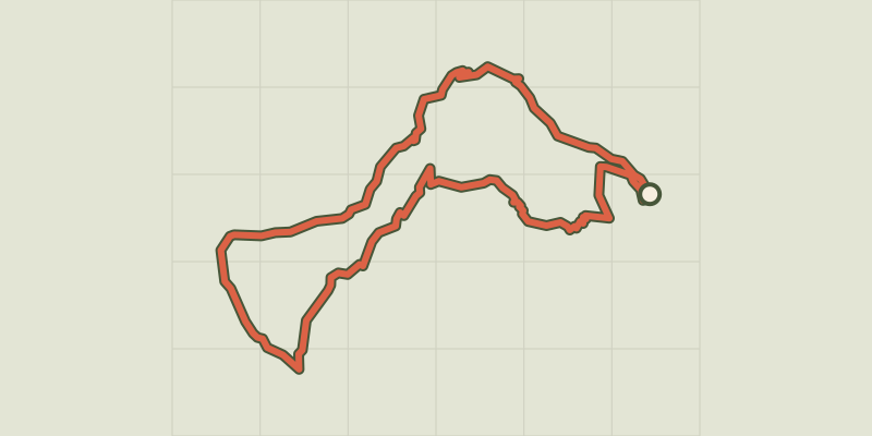 © OpenStreetMap, SRTM · OpenTopoMap (CC-BY-SA)
Arvieux - Les chalets de Clapeyto et le col de Néal
Queyras, Arvieux (05) · LoopOfficial rating by Parcs naturels régionaux de Provence-Alpes-Côte d'Azur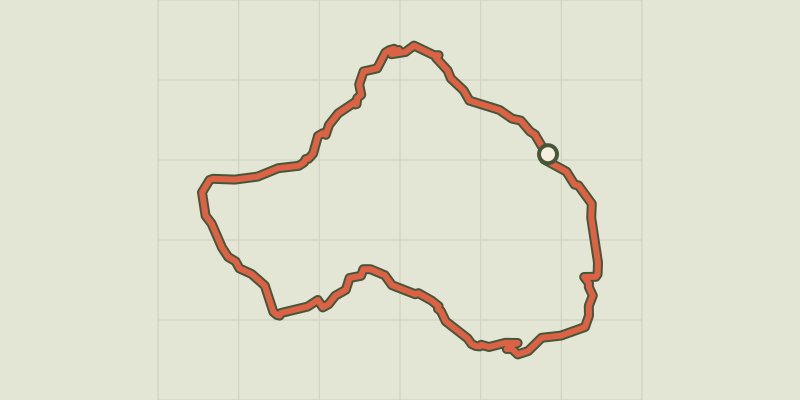 © OpenStreetMap, SRTM · OpenTopoMap (CC-BY-SA)
Tour du Cros et Jalleït par les Chalets de Clapeyto - Arvieux
Queyras, Arvieux (05) · LoopOfficial rating by Parcs naturels régionaux de Provence-Alpes-Côte d'Azur © OpenStreetMap, SRTM · OpenTopoMap (CC-BY-SA)
Ascension du Col de l'Échelle depuis La Vachette
Provence-Alpes-Côte d'Azur, Val-des-Prés (05) · Out and backOfficial rating by Parc national des Écrins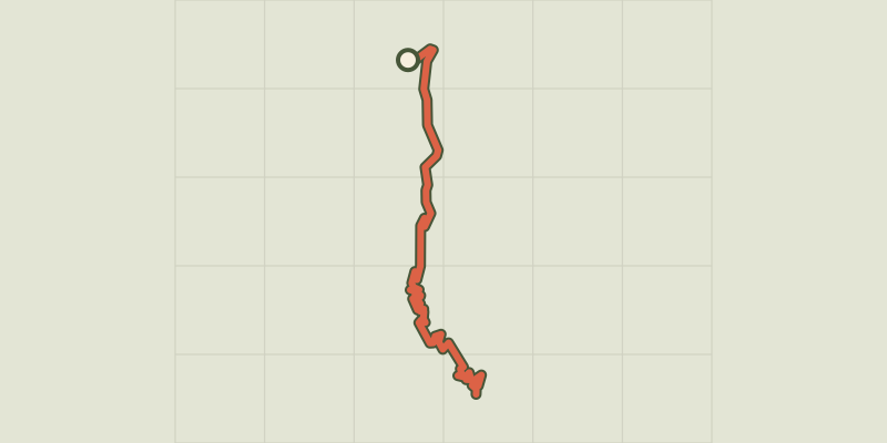 © OpenStreetMap, SRTM · OpenTopoMap (CC-BY-SA)
Ascension du Col de l'Izoard
Provence-Alpes-Côte d'Azur, Cervières (05) · Point to pointOfficial rating by Parc national des Écrins
 © OpenStreetMap, SRTM · OpenTopoMap (CC-BY-SA)
Au fil de la Romanche
Écrins, La Grave (05) · Out and backOfficial rating by Parc national des Écrins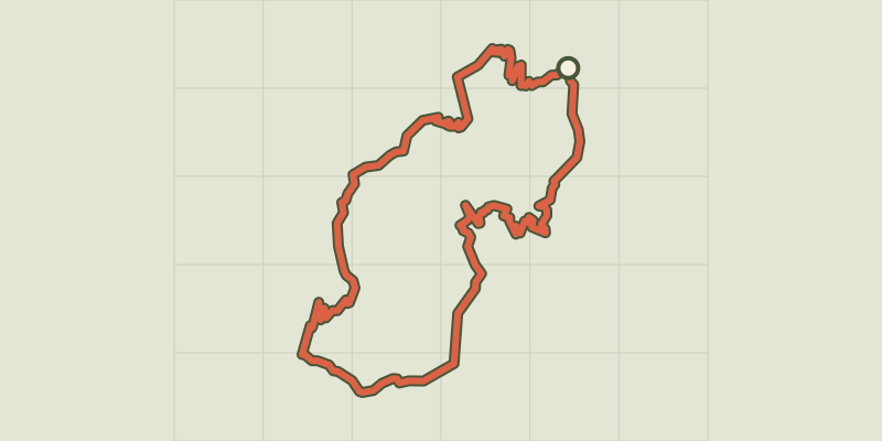 © OpenStreetMap, SRTM · OpenTopoMap (CC-BY-SA)
Au-dessus des Drac
Provence-Alpes-Côte d'Azur, Champoléon (05) · LoopOfficial rating by Parc national des Écrins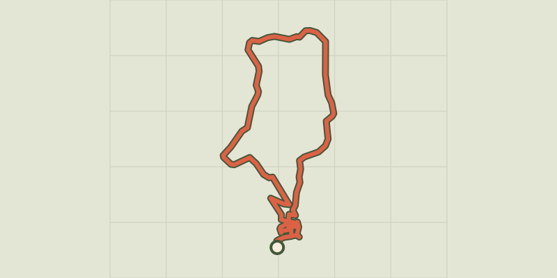 © OpenStreetMap, SRTM · OpenTopoMap (CC-BY-SA)
Aubignan - Cœur de ville et berges du canal
Provence-Alpes-Côte d'Azur, Aubignan (84) · LoopOfficial rating by Parcs naturels régionaux de Provence-Alpes-Côte d'Azur © OpenStreetMap, SRTM · OpenTopoMap (CC-BY-SA)
Aubignan - Le plateau de Gargamiane
Provence-Alpes-Côte d'Azur, Aubignan (84) · LoopOfficial rating by Parcs naturels régionaux de Provence-Alpes-Côte d'Azur © OpenStreetMap, SRTM · OpenTopoMap (CC-BY-SA)
AUBIGNAN, Cultures du Comtat et Chapelle Saint-Martin
Mont Ventoux, Aubignan (84) · LoopOfficial rating by Parcs naturels régionaux de Provence-Alpes-Côte d'Azur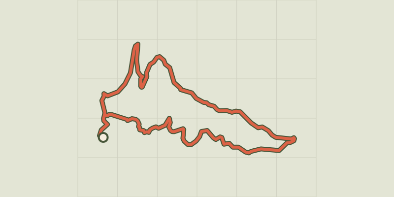 © OpenStreetMap, SRTM · OpenTopoMap (CC-BY-SA)
La Croix des Pins
Verdon, Aups (83) · LoopOfficial rating by Parcs naturels régionaux de Provence-Alpes-Côte d'Azur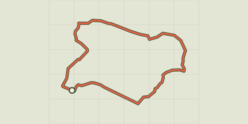 © OpenStreetMap, SRTM · OpenTopoMap (CC-BY-SA)
The cave path
Verdon, Aups (83) · LoopOfficial rating by Parcs naturels régionaux de Provence-Alpes-Côte d'Azur