
Road cycling GPX tracks in Provence-Alpes-Côte d'Azur (page 3)
89 GPX tracks in Provence-Alpes-Côte d'Azur, with distance, elevation gain and time for each track. Filter by department, sport, distance, elevation gain and time.
All GPX tracks in Provence-Alpes-Côte d'Azur

 © OpenStreetMap, SRTM · OpenTopoMap (CC-BY-SA)
The balconies of Chorges
Provence-Alpes-Côte d'Azur, Chorges (05) · LoopOfficial rating by Parc national des Écrins © OpenStreetMap, SRTM · OpenTopoMap (CC-BY-SA)
The balconies of Saint-André d'Embrun
Provence-Alpes-Côte d'Azur, Saint-André-d'Embrun (05) · LoopOfficial rating by Parc national des Écrins © OpenStreetMap, SRTM · OpenTopoMap (CC-BY-SA)
The hamlets of Les Orres
Provence-Alpes-Côte d'Azur, Les Orres (05) · LoopOfficial rating by Parc national des Écrins © OpenStreetMap, SRTM · OpenTopoMap (CC-BY-SA)
Les Trois Rivières
Écrins, Savines-le-Lac (05) · LoopOfficial rating by Parc national des Écrins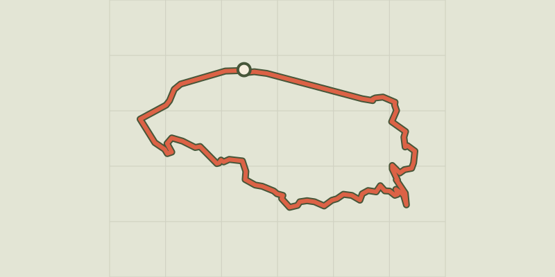 © OpenStreetMap, SRTM · OpenTopoMap (CC-BY-SA)
Perched villages by bike
Luberon, Maubec (84) · LoopOfficial rating by Parcs naturels régionaux de Provence-Alpes-Côte d'Azur © OpenStreetMap, SRTM · OpenTopoMap (CC-BY-SA)
Maussane-les-Alpilles - Tour des Baux-de-Provence à vélo
Provence-Alpes-Côte d'Azur, Maussane-les-Alpilles (13) · LoopOfficial rating by Parcs naturels régionaux de Provence-Alpes-Côte d'Azur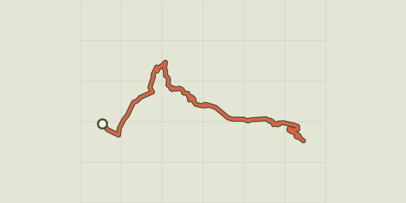 © OpenStreetMap, SRTM · OpenTopoMap (CC-BY-SA)
Montée de Crévoux
Provence-Alpes-Côte d'Azur, Baratier (05) · Point to pointOfficial rating by Parc national des Écrins © OpenStreetMap, SRTM · OpenTopoMap (CC-BY-SA)
Montée de la Draye
Écrins, Crots (05) · Point to pointOfficial rating by Parc national des Écrins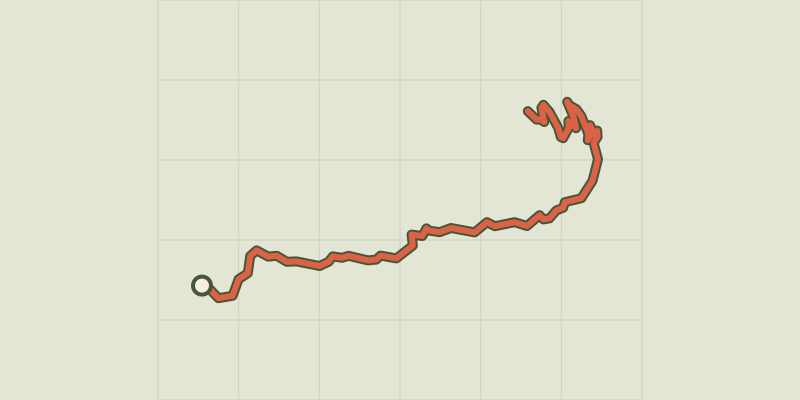 © OpenStreetMap, SRTM · OpenTopoMap (CC-BY-SA)
Montée de Réallon depuis Chorges
Écrins, Chorges (05) · Point to pointOfficial rating by Parc national des Écrins © OpenStreetMap, SRTM · OpenTopoMap (CC-BY-SA)
Montée de Réallon depuis Savines-le-Lac
Écrins, Savines-le-Lac (05) · Point to pointOfficial rating by Parc national des Écrins © OpenStreetMap, SRTM · OpenTopoMap (CC-BY-SA)
Montée des Orres
Provence-Alpes-Côte d'Azur, Baratier (05) · Point to pointOfficial rating by Parc national des Écrins © OpenStreetMap, SRTM · OpenTopoMap (CC-BY-SA)
The Alpilles Roquemartine by Bike: The Integral
Provence-Alpes-Côte d'Azur, Mouriès (13) · LoopOfficial rating by Parcs naturels régionaux de Provence-Alpes-Côte d'Azur © OpenStreetMap, SRTM · OpenTopoMap (CC-BY-SA)
Alpilles Roquemartine: The Mouriès loop
Provence-Alpes-Côte d'Azur, Mouriès (13) · LoopOfficial rating by Parcs naturels régionaux de Provence-Alpes-Côte d'Azur © OpenStreetMap, SRTM · OpenTopoMap (CC-BY-SA)
Moustiers-Sainte-Marie - Le tour du Verdon à vélo
Verdon, Moustiers-Sainte-Marie (04) · Point to pointOfficial rating by Parcs naturels régionaux de Provence-Alpes-Côte d'Azur © OpenStreetMap, SRTM · OpenTopoMap (CC-BY-SA)
Alpilles Roquemartine by bike: the variant of Orgon
Provence-Alpes-Côte d'Azur, Orgon (13) · LoopOfficial rating by Parcs naturels régionaux de Provence-Alpes-Côte d'Azur © OpenStreetMap, SRTM · OpenTopoMap (CC-BY-SA)
Orpierre - Col de Pierre Vesce
Provence-Alpes-Côte d'Azur, Orpierre (05) · LoopOfficial rating by Parcs naturels régionaux de Provence-Alpes-Côte d'Azur © OpenStreetMap, SRTM · OpenTopoMap (CC-BY-SA)
The Pays d'Aigues by bike
Luberon, Pertuis (84) · Point to pointOfficial rating by Parcs naturels régionaux de Provence-Alpes-Côte d'Azur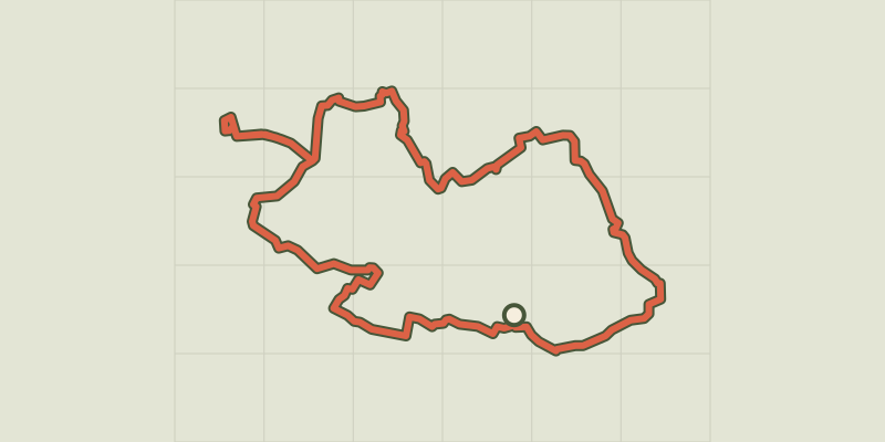 © OpenStreetMap, SRTM · OpenTopoMap (CC-BY-SA)
Touring the Pays d'Aigues by bike (West)
Luberon, Pertuis (84) · LoopOfficial rating by Parcs naturels régionaux de Provence-Alpes-Côte d'Azur © OpenStreetMap, SRTM · OpenTopoMap (CC-BY-SA)
Port-Saint-Louis on bike, the city surrounded by water
Provence-Alpes-Côte d'Azur, Port-Saint-Louis-du-Rhône (13) · LoopOfficial rating by Parcs naturels régionaux de Provence-Alpes-Côte d'Azur © OpenStreetMap, SRTM · OpenTopoMap (CC-BY-SA)
Revest-des-Brousses - À vélo entre les sources du Largue et du Calavon
Luberon, Revest-des-Brousses (04) · LoopOfficial rating by Parcs naturels régionaux de Provence-Alpes-Côte d'Azur © OpenStreetMap, SRTM · OpenTopoMap (CC-BY-SA)
Right bank Serre-Ponçon
Écrins, Embrun (05) · LoopOfficial rating by Parc national des Écrins © OpenStreetMap, SRTM · OpenTopoMap (CC-BY-SA)
Robion - Du Calavon au Pays des Sorgues à vélo
Luberon, Robion (84) · LoopOfficial rating by Parcs naturels régionaux de Provence-Alpes-Côte d'Azur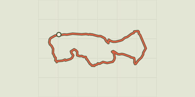 © OpenStreetMap, SRTM · OpenTopoMap (CC-BY-SA)
Saint Etienne du Gres - Cycling tour in Alpilles, in 3 days
Provence-Alpes-Côte d'Azur, Saint-Étienne-du-Grès (13) · Point to pointOfficial rating by Parcs naturels régionaux de Provence-Alpes-Côte d'Azur © OpenStreetMap, SRTM · OpenTopoMap (CC-BY-SA)
Saint Remy de Provence - Cycling from the Alpilles to Val d'Enfer
Provence-Alpes-Côte d'Azur, Saint-Rémy-de-Provence (13) · LoopOfficial rating by Parcs naturels régionaux de Provence-Alpes-Côte d'Azur