
GPX tracks in Écrins (page 7)
375 GPX tracks in Écrins, with distance, elevation gain and time for each track. Filter by department, sport, distance, elevation gain and time.
All GPX tracks in Écrins

 © OpenStreetMap, SRTM · OpenTopoMap (CC-BY-SA)
The Colombier lookout
Écrins, Crots (05) · LoopOfficial rating by Parc national des Écrins
 © OpenStreetMap, SRTM · OpenTopoMap (CC-BY-SA)
Le Bois des Guibertes
Écrins, La Salle-les-Alpes (05) · LoopOfficial rating by Parc national des Écrins
 © OpenStreetMap, SRTM · OpenTopoMap (CC-BY-SA)
Le Châtelleret
Écrins, Saint-Christophe-en-Oisans (38) · Out and backOfficial rating by Parc national des Écrins © OpenStreetMap, SRTM · OpenTopoMap (CC-BY-SA)
Le chemin du facteur
Écrins, La Grave (05) · Out and backOfficial rating by Parc national des Écrins © OpenStreetMap, SRTM · OpenTopoMap (CC-BY-SA)
Le Chemin du Roy
Écrins, Le Monêtier-les-Bains (05) · LoopOfficial rating by Parc national des Écrins © OpenStreetMap, SRTM · OpenTopoMap (CC-BY-SA)
Le circuit de Clot Laffont
Écrins, Champcella (05) · LoopOfficial rating by Parc national des Écrins © OpenStreetMap, SRTM · OpenTopoMap (CC-BY-SA)
Lakes tour
Écrins, Freissinières (05) · LoopOfficial rating by Parc national des Écrins © OpenStreetMap, SRTM · OpenTopoMap (CC-BY-SA)
The Arsine corrie via the Crevasses path
Écrins, Villar-d'Arêne (05) · Out and backOfficial rating by Parc national des Écrins © OpenStreetMap, SRTM · OpenTopoMap (CC-BY-SA)
Le col de Freissinières
Écrins, Freissinières (05) · Out and backOfficial rating by Parc national des Écrins © OpenStreetMap, SRTM · OpenTopoMap (CC-BY-SA)
La Muzelle pass
Écrins, Valjouffrey (38) · Out and backOfficial rating by Parc national des Écrins © OpenStreetMap, SRTM · OpenTopoMap (CC-BY-SA)
Laurichard Mountain Pass
Écrins, Villar-d'Arêne (05) · Out and backOfficial rating by Parc national des Écrins © OpenStreetMap, SRTM · OpenTopoMap (CC-BY-SA)
Le col de Vallonpierre
Écrins, La Chapelle-en-Valgaudémar (05) · Out and backOfficial rating by Parc national des Écrins © OpenStreetMap, SRTM · OpenTopoMap (CC-BY-SA)
Le Col des Terres Blanches from Dormillouse
Écrins, Freissinières (05) · Out and backOfficial rating by Parc national des Écrins © OpenStreetMap, SRTM · OpenTopoMap (CC-BY-SA)
Col des Terres Blanches from Prapic
Écrins, Orcières (05) · Out and backOfficial rating by Parc national des Écrins © OpenStreetMap, SRTM · OpenTopoMap (CC-BY-SA)
Tourettes Mountain Pass
Écrins, Châteauroux-les-Alpes (05) · Out and backOfficial rating by Parc national des Écrins © OpenStreetMap, SRTM · OpenTopoMap (CC-BY-SA)
Col du Cheval de Bois
Écrins, Champoléon (05) · LoopOfficial rating by Parc national des Écrins © OpenStreetMap, SRTM · OpenTopoMap (CC-BY-SA)
Le Cuchon
Écrins, Saint-Léger-les-Mélèzes (05) · Out and backOfficial rating by Parc national des Écrins © OpenStreetMap, SRTM · OpenTopoMap (CC-BY-SA)
Le Fort
Écrins, Réallon (05) · LoopOfficial rating by Parc national des Écrins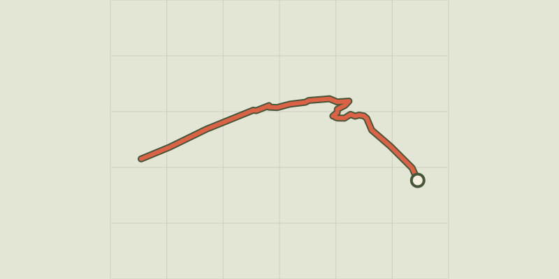 © OpenStreetMap, SRTM · OpenTopoMap (CC-BY-SA)
Le glacier Noir
Écrins, Vallouise-Pelvoux (05) · Out and backOfficial rating by Parc national des Écrins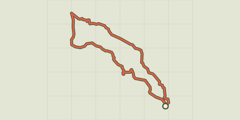 © OpenStreetMap, SRTM · OpenTopoMap (CC-BY-SA)
The hamlet of Vaucluse
Écrins, Réallon (05) · LoopOfficial rating by Parc national des Écrins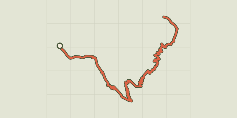 © OpenStreetMap, SRTM · OpenTopoMap (CC-BY-SA)
The jas des Agneaux by the Combe des Roberts
Écrins, Entraigues (38) · Out and backOfficial rating by Parc national des Écrins © OpenStreetMap, SRTM · OpenTopoMap (CC-BY-SA)
Jas des Agneaux via Pissard des Aiguilles
Écrins, Chantepérier (38) · Out and backOfficial rating by Parc national des Écrins © OpenStreetMap, SRTM · OpenTopoMap (CC-BY-SA)
Combeynot Lake
Écrins, Le Monêtier-les-Bains (05) · Out and backOfficial rating by Parc national des Écrins © OpenStreetMap, SRTM · OpenTopoMap (CC-BY-SA)
Eychauda Lake
Écrins, Vallouise-Pelvoux (05) · Out and backOfficial rating by Parc national des Écrins