
GPX tracks in Provence-Alpes-Côte d'Azur (page 32)
1,053 GPX tracks in Provence-Alpes-Côte d'Azur, with distance, elevation gain and time for each track. Filter by department, sport, distance, elevation gain and time.
All GPX tracks in Provence-Alpes-Côte d'Azur

 © OpenStreetMap, SRTM · OpenTopoMap (CC-BY-SA)
La Pierre trail
Provence-Alpes-Côte d'Azur, Orgon (13) · LoopOfficial rating by Parcs naturels régionaux de Provence-Alpes-Côte d'Azur © OpenStreetMap, SRTM · OpenTopoMap (CC-BY-SA)
Orpierre - Balcons du protestantisme en 2 jours
Provence-Alpes-Côte d'Azur, Orpierre (05) · Point to pointOfficial rating by Parcs naturels régionaux de Provence-Alpes-Côte d'Azur
 © OpenStreetMap, SRTM · OpenTopoMap (CC-BY-SA)
Orpierre - Col de Pierre Vesce
Provence-Alpes-Côte d'Azur, Orpierre (05) · LoopOfficial rating by Parcs naturels régionaux de Provence-Alpes-Côte d'Azur © OpenStreetMap, SRTM · OpenTopoMap (CC-BY-SA)
St. Michel Rock
Provence-Alpes-Côte d'Azur, Orpierre (05) · LoopOfficial rating by Parcs naturels régionaux de Provence-Alpes-Côte d'Azur © OpenStreetMap, SRTM · OpenTopoMap (CC-BY-SA)
The Pays d'Aigues by bike
Luberon, Pertuis (84) · Point to pointOfficial rating by Parcs naturels régionaux de Provence-Alpes-Côte d'Azur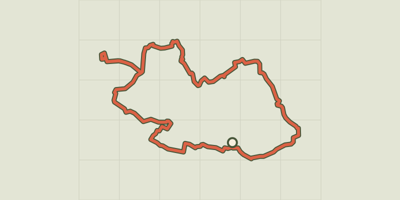 © OpenStreetMap, SRTM · OpenTopoMap (CC-BY-SA)
Touring the Pays d'Aigues by bike (West)
Luberon, Pertuis (84) · LoopOfficial rating by Parcs naturels régionaux de Provence-Alpes-Côte d'Azur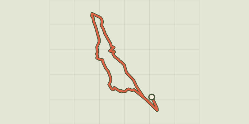 © OpenStreetMap, SRTM · OpenTopoMap (CC-BY-SA)
Petite boucle de Clos Raffin
Écrins, La Grave (05) · LoopOfficial rating by Parc national des Écrins © OpenStreetMap, SRTM · OpenTopoMap (CC-BY-SA)
Petite boucle de Laval aux Drayères
Provence-Alpes-Côte d'Azur, Névache (05) · LoopOfficial rating by Parc national des Écrins © OpenStreetMap, SRTM · OpenTopoMap (CC-BY-SA)
A round-trip to Peyroules
Verdon, Peyroules (04) · LoopOfficial rating by Parcs naturels régionaux de Provence-Alpes-Côte d'Azur © OpenStreetMap, SRTM · OpenTopoMap (CC-BY-SA)
Pic du Lac Blanc
Provence-Alpes-Côte d'Azur, Névache (05) · Out and backOfficial rating by Parc national des Écrins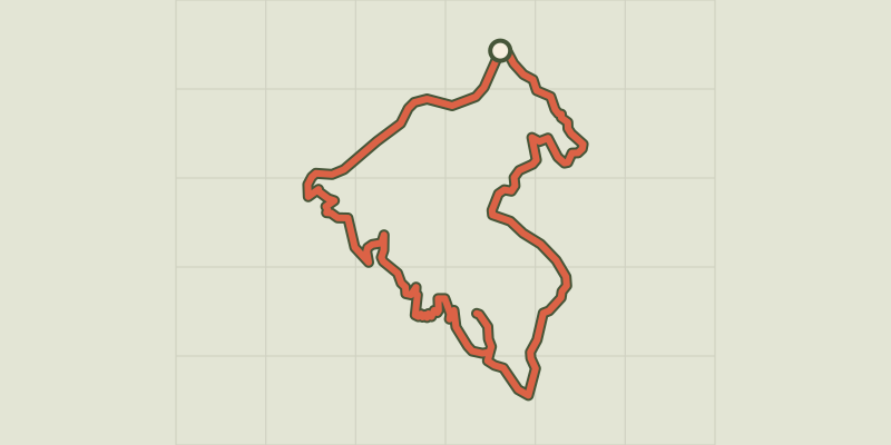
 © OpenStreetMap, SRTM · OpenTopoMap (CC-BY-SA)
Pierre-Arnoux
Écrins, Savines-le-Lac (05) · LoopOfficial rating by Parc national des Écrins © OpenStreetMap, SRTM · OpenTopoMap (CC-BY-SA)
Joubelle
Écrins, Réallon (05) · Out and backOfficial rating by Parc national des Écrins © OpenStreetMap, SRTM · OpenTopoMap (CC-BY-SA)
Plan d'Aups Sainte-Baume - Du sentier Merveilleux à l'oratoire de Miette
Provence-Alpes-Côte d'Azur, Plan-d'Aups-Sainte-Baume (83) · LoopOfficial rating by Parcs naturels régionaux de Provence-Alpes-Côte d'Azur © OpenStreetMap, SRTM · OpenTopoMap (CC-BY-SA)
Plan d’Aups Sainte-Baume - Saint-Pilon Chapel
Provence-Alpes-Côte d'Azur, Plan-d'Aups-Sainte-Baume (83) · LoopOfficial rating by Parcs naturels régionaux de Provence-Alpes-Côte d'Azur © OpenStreetMap, SRTM · OpenTopoMap (CC-BY-SA)
Plan d'Aups Sainte-Baume - Le col de Bertagne
Provence-Alpes-Côte d'Azur, Plan-d'Aups-Sainte-Baume (83) · LoopOfficial rating by Parcs naturels régionaux de Provence-Alpes-Côte d'Azur © OpenStreetMap, SRTM · OpenTopoMap (CC-BY-SA)
Plan d'Aups Sainte-Baume - Le Pic de Bertagne
Provence-Alpes-Côte d'Azur, Plan-d'Aups-Sainte-Baume (83) · LoopOfficial rating by Parcs naturels régionaux de Provence-Alpes-Côte d'Azur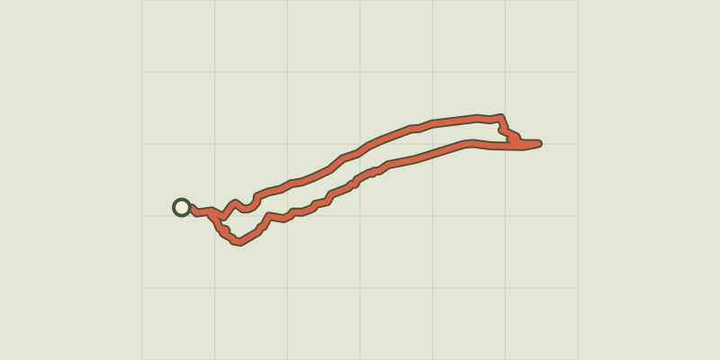 © OpenStreetMap, SRTM · OpenTopoMap (CC-BY-SA)
Plan d'Aups Sainte-Baume - Le sentier Merveilleux
Provence-Alpes-Côte d'Azur, Plan-d'Aups-Sainte-Baume (83) · LoopOfficial rating by Parcs naturels régionaux de Provence-Alpes-Côte d'Azur © OpenStreetMap, SRTM · OpenTopoMap (CC-BY-SA)
Pointe des Cerces
Provence-Alpes-Côte d'Azur, Névache (05) · Out and backOfficial rating by Parc national des Écrins © OpenStreetMap, SRTM · OpenTopoMap (CC-BY-SA)
Pommerol - Les crêtes de Raton
Provence-Alpes-Côte d'Azur, Rosans (05) · LoopOfficial rating by Parcs naturels régionaux de Provence-Alpes-Côte d'Azur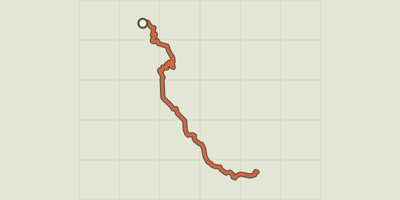 © OpenStreetMap, SRTM · OpenTopoMap (CC-BY-SA)
Port St-Pierre
Provence-Alpes-Côte d'Azur, Le Sauze-du-Lac (05) · Out and backOfficial rating by Parc national des Écrins © OpenStreetMap, SRTM · OpenTopoMap (CC-BY-SA)
Port-Saint-Louis on bike, the city surrounded by water
Provence-Alpes-Côte d'Azur, Port-Saint-Louis-du-Rhône (13) · LoopOfficial rating by Parcs naturels régionaux de Provence-Alpes-Côte d'Azur © OpenStreetMap, SRTM · OpenTopoMap (CC-BY-SA)
They du Mazet, the Rhône estuary
Provence-Alpes-Côte d'Azur, Port-Saint-Louis-du-Rhône (13) · Out and backOfficial rating by Parcs naturels régionaux de Provence-Alpes-Côte d'Azur © OpenStreetMap, SRTM · OpenTopoMap (CC-BY-SA)
Pourcieux - Les anciennes carrières de marbre
Provence-Alpes-Côte d'Azur, Pourcieux (83) · LoopOfficial rating by Parcs naturels régionaux de Provence-Alpes-Côte d'Azur © OpenStreetMap, SRTM · OpenTopoMap (CC-BY-SA)
Pourrières - À la découverte du vieux village
Provence-Alpes-Côte d'Azur, Pourrières (83) · LoopOfficial rating by Parcs naturels régionaux de Provence-Alpes-Côte d'Azur