
Hiking GPX tracks in Écrins (page 8)
247 GPX tracks in Écrins, with distance, elevation gain and time for each track. Filter by department, sport, distance, elevation gain and time.
All GPX tracks in Écrins

 © OpenStreetMap, SRTM · OpenTopoMap (CC-BY-SA)
Le vallon de Lanchâtra
Écrins, Saint-Christophe-en-Oisans (38) · Out and backOfficial rating by Parc national des Écrins © OpenStreetMap, SRTM · OpenTopoMap (CC-BY-SA)
Le vallon de Martignare
Écrins, La Grave (05) · Out and backOfficial rating by Parc national des Écrins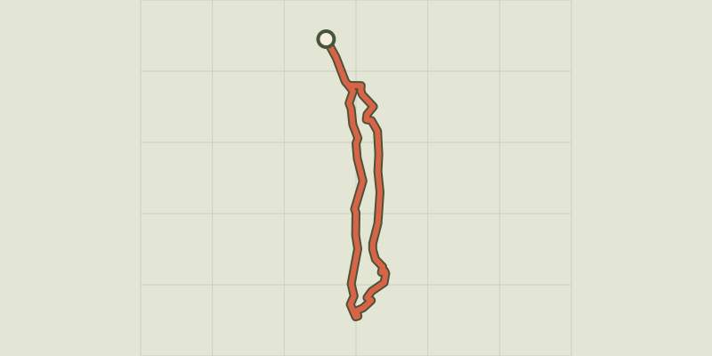 © OpenStreetMap, SRTM · OpenTopoMap (CC-BY-SA)
Navette Valley
Écrins, La Chapelle-en-Valgaudémar (05) · LoopOfficial rating by Parc national des Écrins © OpenStreetMap, SRTM · OpenTopoMap (CC-BY-SA)
The Valsenestre valley
Écrins, Valjouffrey (38) · Out and backOfficial rating by Parc national des Écrins © OpenStreetMap, SRTM · OpenTopoMap (CC-BY-SA)
Le vallon des Étages
Écrins, Saint-Christophe-en-Oisans (38) · LoopOfficial rating by Parc national des Écrins © OpenStreetMap, SRTM · OpenTopoMap (CC-BY-SA)
The Couleau valley
Écrins, Saint-Clément-sur-Durance (05) · LoopOfficial rating by Parc national des Écrins © OpenStreetMap, SRTM · OpenTopoMap (CC-BY-SA)
The 6 mountain huts
Écrins, Saint-Maurice-en-Valgodemard (05) · Out and backOfficial rating by Parc national des Écrins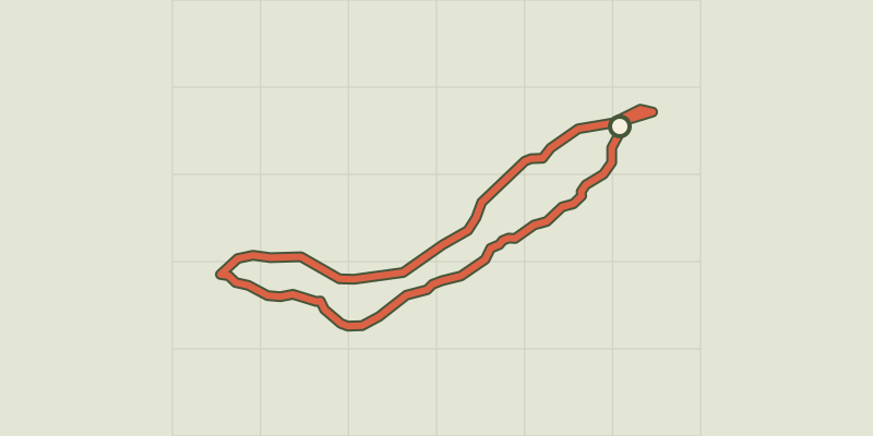 © OpenStreetMap, SRTM · OpenTopoMap (CC-BY-SA)
Les chardons bleus des Deslioures
Écrins, L'Argentière-la-Bessée (05) · LoopOfficial rating by Parc national des Écrins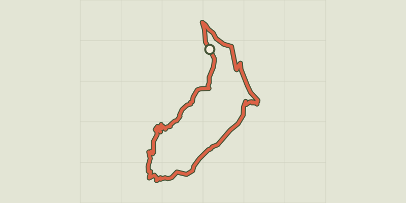 © OpenStreetMap, SRTM · OpenTopoMap (CC-BY-SA)
The Croix du Carrelet crests
Écrins, Villard-Reymond (38) · LoopOfficial rating by Parc national des Écrins © OpenStreetMap, SRTM · OpenTopoMap (CC-BY-SA)
Les Eyssarts
Écrins, Les Vigneaux (05) · LoopOfficial rating by Parc national des Écrins © OpenStreetMap, SRTM · OpenTopoMap (CC-BY-SA)
The Arsine Lakes
Écrins, Le Monêtier-les-Bains (05) · Out and backOfficial rating by Parc national des Écrins © OpenStreetMap, SRTM · OpenTopoMap (CC-BY-SA)
Les lacs d'Arsine par Villar d'Arène
Écrins, Villar-d'Arêne (05) · Out and backOfficial rating by Parc national des Écrins © OpenStreetMap, SRTM · OpenTopoMap (CC-BY-SA)
Orcières Lakes
Écrins, Orcières (05) · LoopOfficial rating by Parc national des Écrins © OpenStreetMap, SRTM · OpenTopoMap (CC-BY-SA)
Crupillouse Lakes
Écrins, Champoléon (05) · Out and backOfficial rating by Parc national des Écrins © OpenStreetMap, SRTM · OpenTopoMap (CC-BY-SA)
The Muzelle et Le Lauvitel lakes
Écrins, Les Deux Alpes (38) · LoopOfficial rating by Parc national des Écrins © OpenStreetMap, SRTM · OpenTopoMap (CC-BY-SA)
Pétarel Lakes by the Andrieux
Écrins, La Chapelle-en-Valgaudémar (05) · Out and backOfficial rating by Parc national des Écrins © OpenStreetMap, SRTM · OpenTopoMap (CC-BY-SA)
The Pétarel Lakes via Les Portes
Écrins, La Chapelle-en-Valgaudémar (05) · Out and backOfficial rating by Parc national des Écrins © OpenStreetMap, SRTM · OpenTopoMap (CC-BY-SA)
Les lacs du Plateau d’Emparis au départ de Besse
Écrins, Besse (38) · LoopOfficial rating by Parc national des Écrins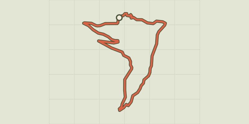 © OpenStreetMap, SRTM · OpenTopoMap (CC-BY-SA)
Les Oulles du Diable
Écrins, La Chapelle-en-Valgaudémar (05) · LoopOfficial rating by Parc national des Écrins © OpenStreetMap, SRTM · OpenTopoMap (CC-BY-SA)
Les Plagnes via Les Clots
Écrins, La Grave (05) · LoopOfficial rating by Parc national des Écrins © OpenStreetMap, SRTM · OpenTopoMap (CC-BY-SA)
Les Sagnières
Écrins, Le Monêtier-les-Bains (05) · LoopOfficial rating by Parc national des Écrins © OpenStreetMap, SRTM · OpenTopoMap (CC-BY-SA)
Les Sources de la Romanche
Écrins, Villar-d'Arêne (05) · Out and backOfficial rating by Parc national des Écrins © OpenStreetMap, SRTM · OpenTopoMap (CC-BY-SA)
Les terrassettes
Écrins, Crots (05) · Out and backOfficial rating by Parc national des Écrins © OpenStreetMap, SRTM · OpenTopoMap (CC-BY-SA)
The Mont Guillaume
Écrins, Embrun (05) · Out and backOfficial rating by Parc national des Écrins